Map gallery
Historical maps
Here is a selection of some of the National Library of Scotland's historical maps used on this website. You can view more of the surrounding area and see more detail by clicking on any one of the tiles. If you'd like to see more historical maps of Scotland, visit the NLS map images website.
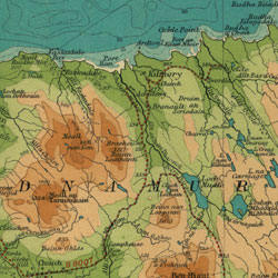
Ardnamurchan, 1931
Bartholomew's Half inch to the mile maps of Scotland 1926-1935 Sheet 14 – Arisaig and Rum Publication date: 1931
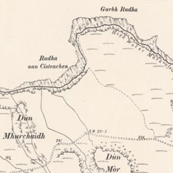
Ardnamurchan, 1843-1882
Ordnance Survey 1st
edition Argyllshire, Sheet XV (with inset of sheet XVa) Survey date: 1872 Publication date: 1875
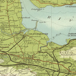
Ardnamurchan, 1892-1960
Ordnance Survey 2nd edition
Argyll and Bute Sheet XV.NW
Publication date: 1900 Date revised: 1897
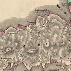
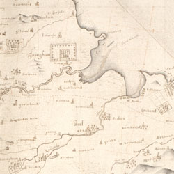
Ardnamurchan, 1824
John Thomson's Atlas of Scotland, 1832 Northern Part of Argyll Shire. Southern Part. Top section
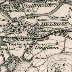
Melrose 1955
Ordnance Survey One-inch to the mile, 7th series, 1952-1961
Sheet 70 – Jedburgh
Publication date: 1956