Download files
Complete book:
Individual page:
Thumbnail gallery: Grid view | List view

D. MILNE HOME ON THE PARALLEL ROADS OF LOOHABER. 649
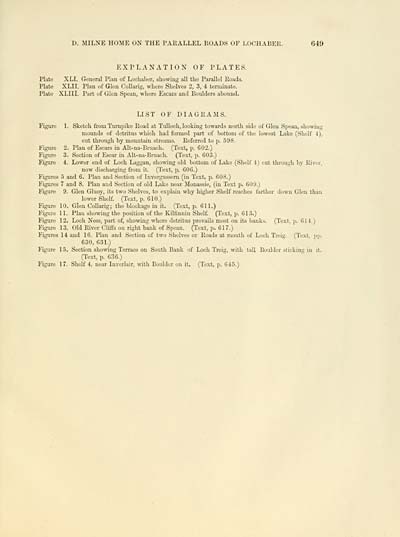
EXPLANATION OF PLATES.
Plate XLI. General Plan of Lochaber, showing all the Parallel Roads
Plate XLII. Plan of Glen CoUarig, where Shelves 2, 3, 4 terminate.
Plate XLIII. Part of Glen Spean, where Escars and Boulders abound.
LIST OF DIAGRAMS.
Figure 1. Sketch from Turnpike Road at Tulloch, looking towards north side of Glen Spean, showing
mounds of detritus which had formed part of bottom of the lowest Lake (Shelf 4),
cut through by mountain streams. Referred to p. 598.
Figure 2. Plan of Escars in Alt-na-Bruach. (Text, p. 602.)
Figure 3. Section of Esoar in Alt-na-Bruach. (Text, p. G03.)
Figure 4. Lower end of Loch Laggan, sho^ving old bottom of Lake (Shelf 4) cut through by River,
now discharging from it. (Text, p. 006.)
Figures -5 and 6. Plan and Section of Invergussern (in Text, p. 608.)
Figures 7 and 8. Plan and Section of old Lake near Monassie, (in Text p. 609.)
Figure 9. Glen Gluoy, its two Shelves, to explain why higher Shelf reaches farther down Glen than
lower Shelf (Text, p. 610.)
Figure 10. Glen CoUarig; the blockage in it. (Text, p. 611.)
Figure 11. Plau showing the position of the Kilfinnin Shelf. (Text, p. 613.)
Figure 12. Loch Ness, part of, showing where detritus prevails most on its banks. (Text, p. 014.)
Figure 13. Old River C'lLtts on right bank of Spean. (Text, p. 617.)
Figures 14 and 16. Plau and Section of two Shelves or Roads at mouth of Loch Treig. (Text, pp.
630, 631.)
Figure 15. Section showing Terrace on South Bank of Loch Treig, with tall Boulder .sticking in it.
(Text, p. 636.)
Figure 17. Shelf 4, near Inverlair, with Boulder on it. (Text, p. 045.)
Set display mode to: Large image | Transcription
Images and transcriptions on this page, including medium image downloads, may be used under the Creative Commons Attribution 4.0 International Licence unless otherwise stated. ![]()
| Early Gaelic Book Collections > J. F. Campbell Collection > On the parallel roads of Lochaber > (73) |
|---|
| Permanent URL | https://digital.nls.uk/80970886 |
|---|
| Description | Volumes from a collection of 610 books rich in Highland folklore, Ossianic literature and other Celtic subjects. Many of the books annotated by John Francis Campbell of Islay, who assembled the collection. |
|---|
| Description | Selected items from five 'Special and Named Printed Collections'. Includes books in Gaelic and other Celtic languages, works about the Gaels, their languages, literature, culture and history. |
|---|

