Download files
Complete book:
Individual page:
Thumbnail gallery: Grid view | List view

636 D. MILNE HOME ON THE PARALLEL ROADS OF LOCHABER.
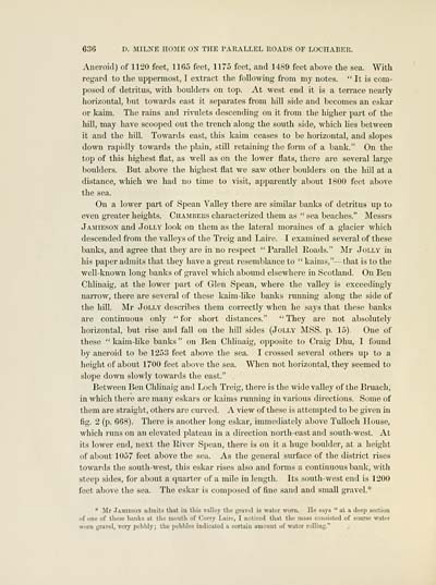
Aneroid) of 1120 feet, 1165 feet, 1175 feet, and 1489 feet above the sea. With
regard to the uppermost, I extract the following from my notes. " It is com-
posed of detritus, with boulders on top. At west end it is a terrace nearly
horizontal, but towards east it separates from hill side and becomes an eskar
or kaim. The rains and rivulets descending on it from thp higher part of the
hill, may have scooped out the trench along the south side, which lies between
it and the hill. Towards east, this kaim ceases to be horizontal, and slopes
down rapidly towards the plain, still retaining the form of a bank." On the
toj) of this highest flat, as well as on the lower flats, there are several large
boulders. But above the highest flat we saw other boulders on the hill at a
distance, which we had no time to visit, apparently about 1800 feet above
the sea.
On a lower part of Spean Valley there are similar banks of detritus up to
even greater heights. Chambers characterized them as " sea beaches." Messrs
Jamieson and Jolly look on them as the lateral moraines of a glacier which
descended from the valleys of the Treig and Laire. I examined several of these
banks, and agree that they are in no respect "Parallel Roads." Mr Jolly in
his paper admits that they have a great resemblance to " kaims," — that is to the
well-known long banks of gravel which abound elsewhere in Scotland. On Ben
Chlinaig, at the lower part of Glen Spean, where the valley is exceedingly
narrow, there are several of these kaim-like banks running along the side of
the hill. Mr Jolly describes them correctly when he says that these banks
are continuous only " for short distances." " They are not absolutely
horizontal, but rise and fall on the hill sides (Jolly MSS. p. 15). One of
these " kaim-like banks " on Ben Chlinaig, opposite to Craig Dhu, I found
by aneroid to be 1253 feet above the sea. I crossed several others up to a
height of about 1700 feet above the sea. When not horizontal, they seemed to
.slope down slowly towards the east." .
Between Ben Chlinaig and Loch Treig, there is the wide valley of the l^ruach,
in which there are many eskars or kaims running in various directions. Some of
them are straight, others are curved. A view of these is attempted to l)e given in
fig. 2 (p. 668). There is another long eskar, immediately above TuUoch House,
Avhich runs on an elevated plateau in a direction north-east and south-west. At
its lower end, next the River Sjjean, there is on it a huge boulder, at a height
of about 1057 feet above the sea. As the general surface of the district rises
towards the south-west, this eskar rises also and forms a contimious bank, with
steep sides, for al^out a quarter of a mile in length. Its south-west end is 1200
feet above the sea. The eskar is cijniposed of fine sand and small gravel."''
* Mr Jamieson ailmits that in this valley the gravel is water worn. Ho says " at a deep section
of one of these banks at tlio mouth of Corry Laire, I noticed that the mass consisted of coarse water
worn gravel, very ]iel)bly ; the pebbles indicated a certain amount of water rolling."
Set display mode to: Large image | Transcription
Images and transcriptions on this page, including medium image downloads, may be used under the Creative Commons Attribution 4.0 International Licence unless otherwise stated. ![]()
| Early Gaelic Book Collections > J. F. Campbell Collection > On the parallel roads of Lochaber > (60) |
|---|
| Permanent URL | https://digital.nls.uk/80970730 |
|---|
| Description | Volumes from a collection of 610 books rich in Highland folklore, Ossianic literature and other Celtic subjects. Many of the books annotated by John Francis Campbell of Islay, who assembled the collection. |
|---|
| Description | Selected items from five 'Special and Named Printed Collections'. Includes books in Gaelic and other Celtic languages, works about the Gaels, their languages, literature, culture and history. |
|---|

