Download files
Complete book:
Individual page:
Thumbnail gallery: Grid view | List view

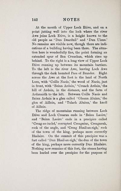
142 NOTES
At the mouth of Upper Loch Etive, and on a
point jutting well into the loch where the river
Awe joins Loch Etive, is a height known to the
old people as 'Dun Dearduil' and 'Dun Uisne.'
No remains are visible now, though there are indi-
cations of a building having been there. The situa-
tion here is wonderfully fine, the point forming an
extended spur of Ben Cruachan, which rises up
behind. To the right is a long view of Upper Loch
Etive running up between its mountain barriers.
To the left is the river Awe, leaving Loch Awe
through the dark haunted Pass of Brander. Right
across the Awe at the foot is the land of North
Lorn, with ' Coille Naois,' the wood of Naois, just
in front, with ' Beinn Ardain,' ' Cruach Ardain,' the
hill of Ardain, in the distance, and the farm of
Ardanaidh to the left. Between Coille Naois and
Beinn Ardain is a glen called ' Gleann Aluinn,' the
glen of Aillein, and ' Tulach Aluinn,' the knoll
of Aillein.
The ridge of mountains running between Loch
Etive and Loch Crearan ends in ' Beinn Laoire,'
and ' Beinn Laoire ' ends in a precipice called
' Creag-an-iuchd,' corrupted Creagniuc, Creagneuk,
rock of the angle, and 'Creag Bhail-an-righ,' rock
of the town of the king, perhaps more correctly
Bhalaire. On the summit of this precipice was a
fort called ' Dun Bhail-an-righ,' the dun of the town
of the king, perhaps more correctly Dun Bhalaire.
Nothing now remains of this fort, the stones having
been hurled over the precipice for the purpose of
Set display mode to: Large image | Transcription
Images and transcriptions on this page, including medium image downloads, may be used under the Creative Commons Attribution 4.0 International Licence unless otherwise stated. ![]()
| Early Gaelic Book Collections > Matheson Collection > Deirdire; and, The lay of the children of Uisne > (156) |
|---|
| Permanent URL | https://digital.nls.uk/76572174 |
|---|
| Description | Items from a collection of 170 volumes relating to Gaelic matters. Mainly philological works in the Celtic and some non-Celtic languages. Some books extensively annotated by Angus Matheson, the first Professor of Celtic at Glasgow University. |
|---|
| Description | Selected items from five 'Special and Named Printed Collections'. Includes books in Gaelic and other Celtic languages, works about the Gaels, their languages, literature, culture and history. |
|---|

