Download files
Complete book:
Individual page:
Thumbnail gallery: Grid view | List view
170 GOUROCK DIRECTORY — APPENDIX.
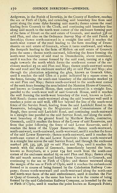
Ardgowan, in the Parish of Inverkip, in the County of Renfrew, reaches
the sea or Firth of Clyde, and extending said boundary line from said
point along the stone dyke forming said march; thence across the road
leading from Gourock to the Cloch, and continuing said boundary line
along said march to the north-west corner of the enclosure forming part
of the farm of Divert on the said estate of Gourock, and marked 338 on
said Plan, and also on the Ordnance Survey Map of the said Parish of
Inverkip; thence north-eastward in a straight line until it reaches the
north-west corner of the road leading to the farm steading of Drum-
shantie on said estate of Gourock, where it turns southward, and where
the footpath leading to the farm of Midton on said estate of Gourock
joins the same ; thence north-eastward, following the fence forming the
north-west boundary of said road to Drumshantie, above mentioned,
until it reaches the corner formed by the said road, turning at a right
angle towards the north which forms the south-east corner of the en-
closure marked 25 on said Plan and Map; thence south-eastward across
the said road and the enclosure marked 283 on said Plan and Map ; also
through the plantation adjoining the glen, known as Gourock Glen,
until it reaches the said Glen at a point indicated by a square stone in
the fence, forming the south-east boundary of the enclosure marked 55
on said Plan and Map ; thence south-eastward to the south-west corner
of the sunk fence forming the area behind the Mansion House of Gourock,
and known as Gourock House, then south-eastward in a straight line,
parallel to the south-west wall of said Gourock House, until it reaches
the wall forming the north-west boundary of the road, known as Lark-
field Road ; thence south-westward along the said boundary wall until it
reaches a point on said wall, 188 feet beyond the line of the south-west
fence of the Service Road, leading from the said Larkfield Road to the
Reservoirs, belonging to the Magistrates and Commissioners of the
Burgh, then across said Larkfield Road, and continuing south-eastward
in a straight line parallel to the said Service Road, and along the south-
west boundary of the ground feued by Matthew Brodie, contractor,
Greenock, until it reaches the fence of the Lower of said Reservoirs, and
from that point following the fence of said Lower Reservoir, until it
reaches the fence of the Upper Reservoir; thence south-westward,
south-eastward, north-eastward, north-westward, until it reaches the fence
of the said Lower Reservoir ; thence north-eastward, until it reaches the
north-east corner of the said Lower Reservoir ; thence north-westward
in a straight line across the said Service Road, and through the enclosure
marked 368, 335, 336, 337 on said Plan and Map, until it reaches the
march with the estate of Greenock, immediately beyond the burn,
known as Berryburn, at a point 134 feet south from the south-east
corner of the enclosure marked 65 on said Plan and Map ; thence along
the said march across the road leading from Greenock to Gourock, and
continuing to the sea or Firth of Clyde; and thence westward along
the margin of the sea or Firth of Clyde, until it reaches the embankment
formed or in course of being formed by the Caledonian Railway Com-
pany; thence north-westward and south-westward along the north-east
and north-west faces of the said embankment, until it reaches the Pier
or Quay of Gourock, as the same has been or is in the course of being
formed by the said Caledonian Railway Company, as bounded by the sea
or Firth of Clyde, until it reaches the point known as Kempock Point ;
Set display mode to: Large image | Transcription
Images and transcriptions on this page, including medium image downloads, may be used under the Creative Commons Attribution 4.0 International Licence unless otherwise stated. ![]()
| Scottish Post Office Directories > Towns > Greenock > Post-office Greenock directory > 1894-1895 > (572) |
|---|
| Permanent URL | https://digital.nls.uk/87498817 |
|---|
| Description | Post-Office Greenock directory for 1894-1895 |
|---|---|
| Attribution and copyright: |
|
| Description | Annual. |
|---|---|
| Shelfmark | Various |
| Description | Directories of individual Scottish towns and their suburbs. |
|---|
| Description | Around 700 Scottish directories published annually by the Post Office or private publishers between 1773 and 1911. Most of Scotland covered, with a focus on Edinburgh, Glasgow, Dundee and Aberdeen. Most volumes include a general directory (A-Z by surname), street directory (A-Z by street) and trade directory (A-Z by trade). |
|---|