Scotland > 1862, 1868, 1872, 1882-1885, 1893-1896, 1901-1904 - County directory of Scotland > 1862
(520)
Download files
Complete book:
Individual page:
Thumbnail gallery: Grid view | List view
xlvi County Directory of Scotland Adveiiiser.
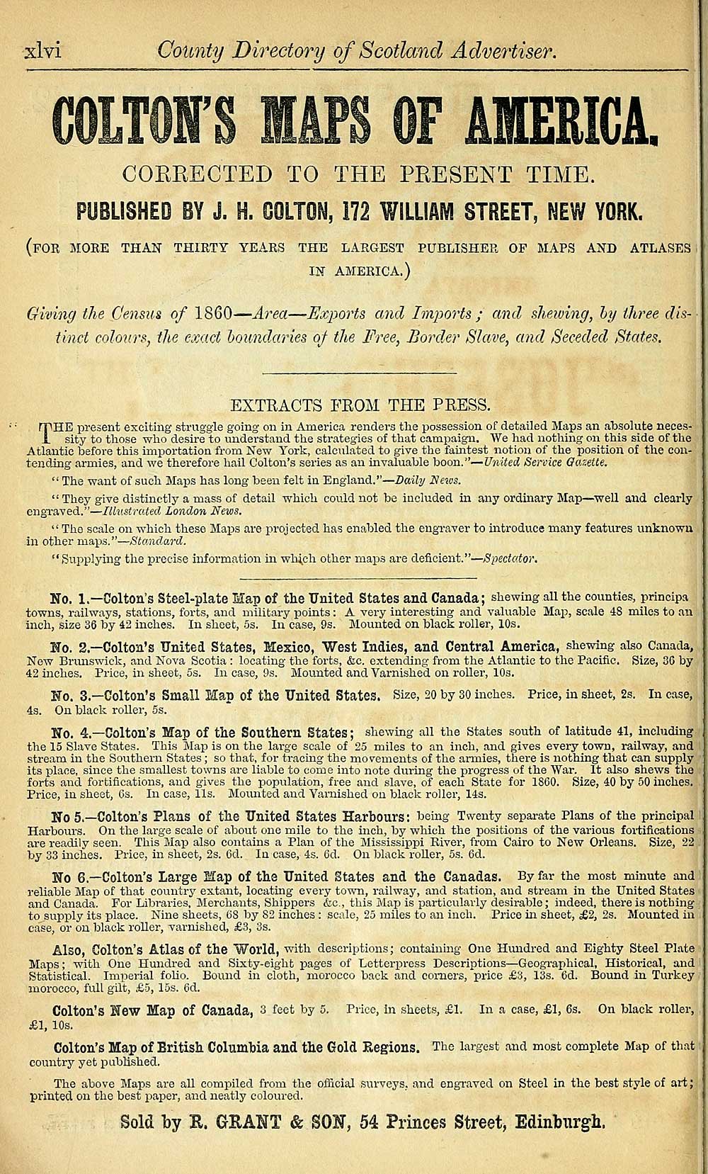
COLTON'S MAPS OF AIERIGA.
CORRECTED TO THE PRESENT TIME.
PUBLISHED BY J. H. OOLTON, 172 WILLIAM STREET, NEW YORK.
(for moke than thirty years the largest publisher op maps and atlases
in america.)
Giving the Census of 1860 — Area — Exports and Imiwrts ; ami shewing, hy three dis-
tinct colours, the exact houndaries 0/ the Free, Border Slave, and Seceded States.
EXTRACTS FROM THE PRESS.
THE present exciting struggle going on in America renders the possession of detailed Maps an absolute neces-
sity to those who desire to understand the strategies of that campaign. We had nothing on this side of the
Atlantic before this importation from New York, calculated to give the faintest notion of the position of the con-
tendJng armies, and we therefore hail Cotton's series as an invaluable hoon."— United Senice Gaxette.
" The want of such Maps has long been felt in England." — Daihj News.
" They give distinctly a mass of detail which could not be included in any ordinary Map — well and clearly
engTaved." — Illustrated London News.
"The scale on which these Maps are projected has enabled the engraver to introduce many features unknown
in other maps." — Stando.rd.
"Supplying the precise information in wh4ch other maps are deficient." — Spectator,
No. 1.— Colton's Steel-plate Map of tlie United States and Canada; shewing all the counties, principa
towns, railways, stations, forts, and military points : A very interesting and valuable Map, scale 48 miles to an
inch, size 36 by 42 inches. In sheet, 5s. In case, 9s. Mounted on black roller, 10s.
No. 2.— Colton's United States, Mexico, West Indies, and Central America, shewing also Canada,
New Brimswick, and Kova Scotia : locating the foi'ts, &o. extending from the Atlantic to the Pacific. Size, 30 by
42 inches. Price, in sheet, 5s. In case, 9s. Mounted and Varnished on roller, 10s.
No. 3.— Colton's Small Map of the United States. Size, 20 by 30 inches. Price, in sheet, 2s. In case,
4s. On black roller, 5s.
No. 4.— Colton's Map of the Southern States ; shewing all the states south of latitude 41, including
the 15 Slave States. This Map is on the large scale of 25 miles to an inch, and gives every town, railway, and
stream in the Southern States ; so that, for tracing the movements of the armies, there is nothing that can supply
its place, since the smallest towns are liable to come into note during the progress of the "War. It also shews the
forts and fortifications, and gives the jjopulation, free and slave, of each State for 1800. Size, 40 by 50 inches.
Price, in sheet, Gs. In case, lis. Mounted and Varnished on black roller, 14s.
No 5.— Colton's Plans of the United States Harbours ; being Twenty separate Plans of the principal
Harbours. On the large scale of about one mile to the inch, by which the positions of the various foitifieations
are readily seen. This Map also contains a Plan of the Mississippi River, from Cairo to New Orleans. Size, 22
by 33 inches. Price, in sheet, 2s. 6d. In case, 4s. 6d. On black roller, 5s. 6d.
No 6.— Colton's Large Map of the United States and the Canadas. By far the most minute and
reliable Map of that country extant, locating evei-y town, railway, and station, and stream in the United States
and Canada. For Libraries, Merchants, Shippers &;c., tliis Map is particularly desirable; indeed, there is nothing
to supply its place. Nine sheets, 68 by 82 inches : scale, 25 miles to an inch. Price in sheet, £2, 2s. Mounted in
case, or on black roller, varnished, £3, 3s.
Also, Colton's Atlas of the World, with descriptions; containing One Hundred and Eighty Steel Plate
Maps ; with One Hundred and Sixty-eight pages of Letterpress Descriptions — Geographical, Historical, and
Statistical. Imperial folio. Bound in cloth, morocco back and comers, price £3, 13s. 6d. Bound in Turkey ;
morocco, full gilt, .-65, 15s. 6d.
Colton's New Map of Canada, 3 feet by 5. Price, in sheets, £1. In a case, £1, 6s. On black roller,
£1, 10s.
Colton's Map of British Columbia and the Gold Regions. The largest and most complete Map of that
country yet published.
The above Maps are all compiled from the ofiicial surveys, and engraved on Steel in the best style of art;
printed on the best paper, and neatly coloured.
Sold by E. GRAHT & S0¥, 54 Princes Street, Edinbxirgh.
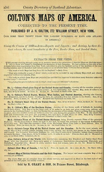
Set display mode to: Large image | Transcription
Images and transcriptions on this page, including medium image downloads, may be used under the Creative Commons Attribution 4.0 International Licence unless otherwise stated. ![]()
| Scottish Post Office Directories > Scotland > County directory of Scotland > 1862 > (520) |
|---|
| Permanent URL | https://digital.nls.uk/85476664 |
|---|
| Description | County directory of Scotland 1862 |
|---|---|
| Attribution and copyright: |
|
| Description | Irregular. Published 1862-[1912?] |
|---|---|
| Shelfmark | Map.Ref.C18 |
| Additional NLS resources: | |
| Description | Directories of the whole, or large parts of, Scotland. |
|---|
| Description | Around 700 Scottish directories published annually by the Post Office or private publishers between 1773 and 1911. Most of Scotland covered, with a focus on Edinburgh, Glasgow, Dundee and Aberdeen. Most volumes include a general directory (A-Z by surname), street directory (A-Z by street) and trade directory (A-Z by trade). |
|---|