Download files
Complete book:
Individual page:
Thumbnail gallery: Grid view | List view

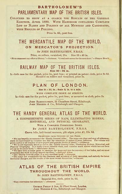
BARTHOLOMEW'S
PARLIAMENTARY MAP OF THE BRITISH ISLES,
Coloured to show at a glance the Eesults of the General
Election, April 1880, With Handbook containing Complete
List of Names and Politics of all Members and Candidates,
AViTH Results of Polling.
Price Is. 6d., post free.
THE MERCANTILE MAP OF THE WORLD,
ON MERCATOR'S PROJECTION.
By JOHN BARTHOLOMEW, F.R.G.S.
Price, on rollers, varnished, 21s. Size 55 x 40 in.
' Fit to ornament any office or librarj'.' ' — Scotsman. "A real vade mecum for the merchant ."— Glasgotc Herald.
RAILWAY MAP OF THE BRITISH ISLES,
Size 30 X 34 in.
In cloth case for the pocket, price Is., post free ; or printed on patent cloth, price 2s 6d.
Mounted on rollers and varnished, price 5s.
PLAN OF LONDON.
Size 24 X 33^ in. ; Scale 3i In. to a mile.
WITH COMPLETE INDEX OF STREETS.
In cloth case for the pocket, price Is., post free ; or mounted on cloth, price 29.
John Bartholomew, 31 Ohamhers Street, Edinburgh.
John Menzies & Co., Edinburgh and Glasgow.
THE HANDY GENERAL ATLAS OF THE WORLD,
A COMPREHENSIVE SERIES OF MAPS, ILLUSTRATING MODERN,
HISTORICAL, AND PHYSICAL GEOGRAPHY.
With a Complete Consulting Index.
By JOHN BARTHOLOMEW, F.R.G.S.
Crown folio, half-bound morocco, gilt edges, price £\, lis. 6d.
Selections fbom Opinions of the Press.
" We can heartily recommend the ' Handy General Atlas.' The maps are clear and easy of reference;
while we have found by constant use that the selections of names is most judicious. The volume will
prove useful to all readers of newspapers and popular books of travel," — Athenseum.
" We would especially desire to notice the ' Handy General Atlas,' illustrating Modern, Historical, and
Physical Geography. It is really a most valuable work, and contains much matter which has not been
set out in the same form." — Westminster Bei'iew.
"We have been at some pains to examine the maps and test the accuracy of the Index, and we must
pronounce the work in every respect excellent." — Liverpool Albion.
" The ' Handy General Atlas ' is a very excellent work."— Scotsman.
"The maps are remarkable for the clearness and accuracy of their execution, and embody the latest
territorial changes, and the results of the most recent discoveries." — Courant.
ATLAS OF THE BRITISH EMPIRE
THROUGHOUT THE WORLD.
By JOHN BARTHOLOMEW, F.R.G.S.
Imperial 8vo, cloth, price 3s. 6d.
•Very convenient for reference."— il<A«re«!«n.
George Philip & Son, 32 Fleet Street, London.
John Menzies & Co., Edinburgh and Glasgow.
Set display mode to: Large image | Transcription
Images and transcriptions on this page, including medium image downloads, may be used under the Creative Commons Attribution 4.0 International Licence unless otherwise stated. ![]()
| Scottish Post Office Directories > Towns > Glasgow > Post-Office annual Glasgow directory > 1880-1881 > (12) |
|---|
| Permanent URL | https://digital.nls.uk/84475258 |
|---|
| Description | Directories of individual Scottish towns and their suburbs. |
|---|
| Description | Around 700 Scottish directories published annually by the Post Office or private publishers between 1773 and 1911. Most of Scotland covered, with a focus on Edinburgh, Glasgow, Dundee and Aberdeen. Most volumes include a general directory (A-Z by surname), street directory (A-Z by street) and trade directory (A-Z by trade). |
|---|


