The last era of Bartholomew family mapmakers
Throughout the firm's history, Bartholomew's map production techniques were affected by changes in technology. By the 1960s, the rate of change began to move at an ever faster pace.
From the 1960s, aerial reconnaissance, satellite imagery and new surveying technologies provided mapmakers with source material that men such as John George Bartholomew (1860-1920) could never have dreamed of. However, the biggest change to affect this generation was the invention of computer cartography.
Computer cartography revolutionised mapmaking and offered exciting new challenges to firms like Bartholomew. John Bartholomew & Son were among the earliest adopters of computerised mapmaking techniques. It was a risky strategy: the technology was relatively untested, as well as being expensive. In order to help raise the money needed, in 1980 the firm was sold to Reader's Digest. However, unforeseen at the time, this move set in motion the events that saw the eventual end of the firm.


The final generation
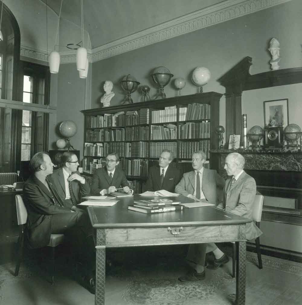
This photograph, taken in 1976, shows Bartholomew's Board of Directors.
From left to right are:
Mike Chittleburgh (Marketing Director)
David Cunningham (Financial Director)
David Ross Stewart (Managing Director)
Peter Bartholomew (Chairman)
Robert Bartholomew (Production Director)
John Christopher Bartholomew (Cartographic Director).

Introducing computers to Bartholomew
The introduction of computers was possibly the biggest challenge that any generation of the Bartholomew family had to face. Computers revolutionised map-making. Processes that required teams of people with specialist skills, like engraving, were no longer necessary. We take computers for granted but for companies introducing them for the first time, there was a lot to learn. This internal document, from 1985, highlights some of advantages of computers.

Maps and metrication
In 1970, the metrication of map-making had a profound effect on firms like Bartholomew. Not only did this alter some of Bartholomew's map scales, but as this leaflet shows, it also affected printing.

National Maps Series
Ordnance Survey began metricising maps in 1970 and Bartholomew followed suit. Their popular half-inch to the mile series was on a scale of 1:126,720. It was re-branded the National Map Series, on the new scale of 1:100,000.
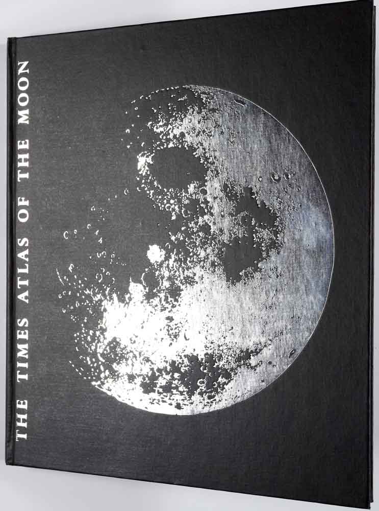
The 'Times atlas of the moon'
The exploration and exploitation of space has radically altered the way maps are made and used. We can see our solar system in unparalleled detail and enjoy images of our planet that men such as John George Bartholomew could never have dreamed of.
This atlas of the moon, printed for 'The Times' by Bartholomew in 1969, is a striking example of the changes in mapmaking the final generation faced.

Marketing Bartholomew to new audiences
Advertising was always important to Bartholomew. A great deal of care and attention went into how the firm and its products were portrayed. By the 1970s, Bartholomew's marketing activities expanded to included sponsorship of sporting events.

Trade fairs
As well as sports sponsorship, Bartholomew also continued the long tradition of displaying at trade fairs and events during the 1970s.