Tain -- South Uist
(287) Folded map

Thumbnail gallery: Grid view | List view
The ScE
ground, a J
which is a
1-0018 in*
The lei
sheet r
F
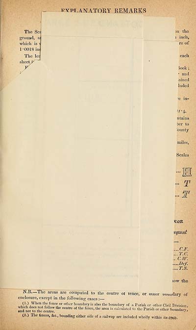
evpt.ANA.TOUY remarks
311 the
i inch,
re of
each
look;
■ and
;ained
luded
-e in-
.7-4.
□ tains
ber to
lounty
miles,
Scales
Km
xquent
.... C.F,
... T.C.
.. C.TV.
....Def.
... T.S.
iow the
areas are computed to the centre of lence, or omer uuuudary of
cnclosuie, excejpt in the following cases i
(1.) When the fence or other boundafyis also the boundary of a Parish or other Civil Division,
md not to the iemre'! ^ Ce“‘re °f the fe“Ce’the area is cllcullted t0 *e Parish or other boundary,
(2.) The fences, Sic., bounding either side of a railway are included wholly within its racs-.
/
ground, a J
which is a
1-0018 in*
The lei
sheet r
F
evpt.ANA.TOUY remarks
311 the
i inch,
re of
each
look;
■ and
;ained
luded
-e in-
.7-4.
□ tains
ber to
lounty
miles,
Scales
Km
xquent
.... C.F,
... T.C.
.. C.TV.
....Def.
... T.S.
iow the
areas are computed to the centre of lence, or omer uuuudary of
cnclosuie, excejpt in the following cases i
(1.) When the fence or other boundafyis also the boundary of a Parish or other Civil Division,
md not to the iemre'! ^ Ce“‘re °f the fe“Ce’the area is cllcullted t0 *e Parish or other boundary,
(2.) The fences, Sic., bounding either side of a railway are included wholly within its racs-.
/
Set display mode to:
![]() Universal Viewer |
Universal Viewer | ![]() Mirador |
Large image | Transcription
Mirador |
Large image | Transcription
Images and transcriptions on this page, including medium image downloads, may be used under the Creative Commons Attribution 4.0 International Licence unless otherwise stated. ![]()
| Ordnance Survey Books of Reference 1855-1882 > Tain -- South Uist > (287) Folded map |
|---|
| Permanent URL | https://digital.nls.uk/99367655 |
|---|
| Attribution and copyright: |
|
|---|---|
| Description | These volumes record acreages of fields and land-use information for each parish in Scotland from 1855-1882. They were compiled with the Ordnance Survey 25 inch to the mile maps for that period, which cover all the inhabited parts of Scotland. Numbered land parcels on these maps, listed consecutively within each parish, are included in the relevant parish Book of Reference. |
|---|---|
| Shelfmark | Map.Ref.C18 |
| Additional NLS resources: | |