Keig -- Kilmaronock
(39) Index to places

Download files
Complete book:
Individual page:
Thumbnail gallery: Grid view | List view
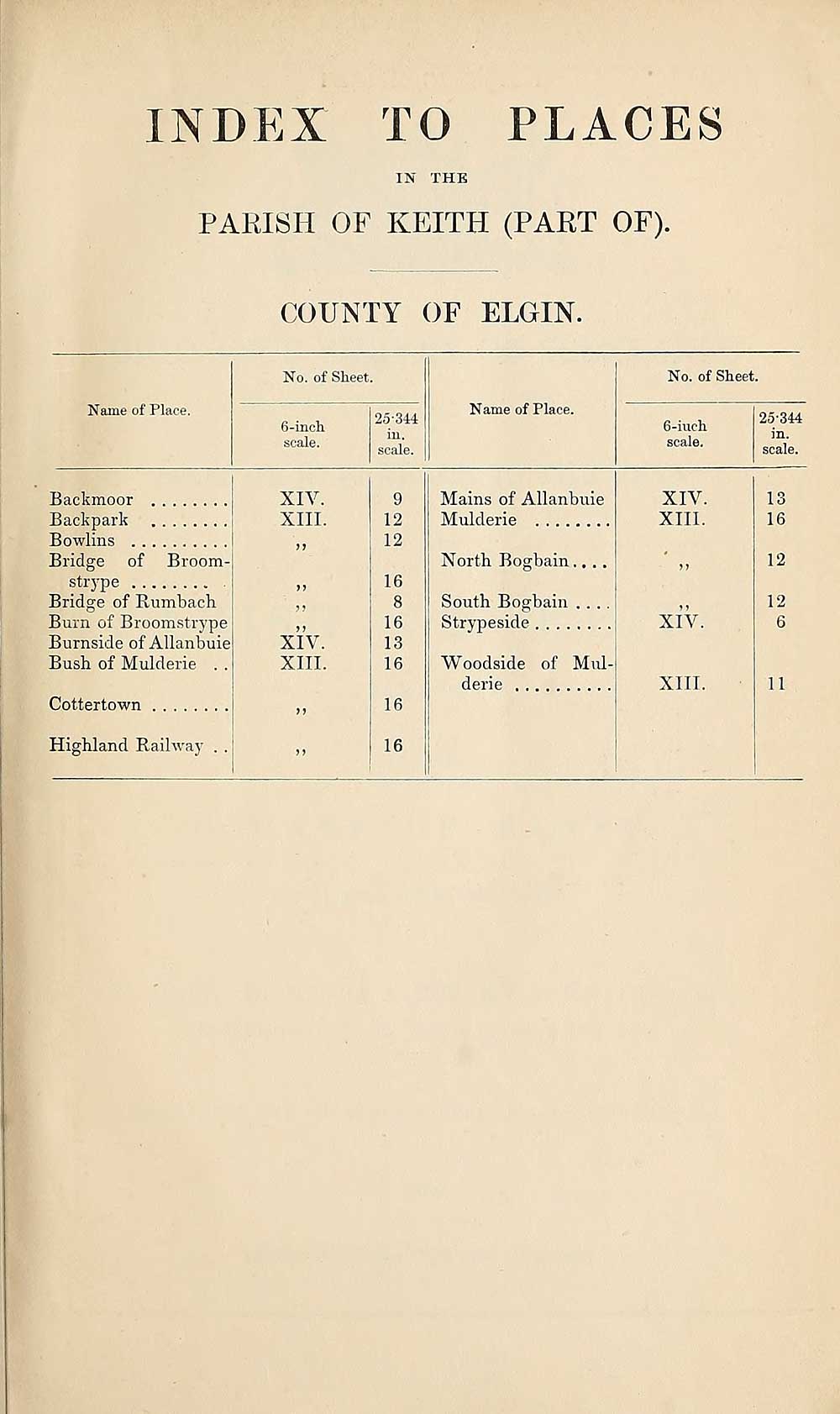
INDEX TO PLACES
IN THE
PARISH OF KEITH (PART OF).
COUNTY OF ELGIN.
Name of Place.
No. of Sheet.
6-inch
scale.
25-314
in.
scale.
Name of Place.
No. of Sheet.
6-iueh
scale.
25-344
in.
scale.
Backmoor
Back park
Bowlins
Bridge of Broom-
strype .
Bridge of Rumbach
Burn of Broomstrype
Burnside of Allanbuie
Bush of Mulderie . .
Cottertown
Highland Railway . .
XIV.
XIII.
XIV.
XIII.
9
12
12
16
8
16
13
16
16
16
Mains of Allanbuie
Mulderie
North Bogbain
South Bogbain
Strypeside
Woodside of Mul¬
derie
XIV.
XIII.
XIV
XIII.
13
16
12
12
6
11
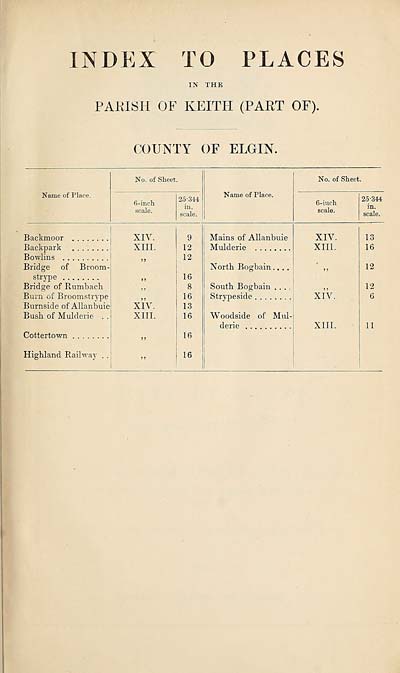
Set display mode to:
![]() Universal Viewer |
Universal Viewer | ![]() Mirador |
Large image | Transcription
Mirador |
Large image | Transcription
Images and transcriptions on this page, including medium image downloads, may be used under the Creative Commons Attribution 4.0 International Licence unless otherwise stated. ![]()
| Ordnance Survey Books of Reference 1855-1882 > Keig -- Kilmaronock > (39) Index to places |
|---|
| Permanent URL | https://digital.nls.uk/99288799 |
|---|
| Attribution and copyright: |
|
|---|---|
| Description | These volumes record acreages of fields and land-use information for each parish in Scotland from 1855-1882. They were compiled with the Ordnance Survey 25 inch to the mile maps for that period, which cover all the inhabited parts of Scotland. Numbered land parcels on these maps, listed consecutively within each parish, are included in the relevant parish Book of Reference. |
|---|---|
| Shelfmark | Map.Ref.C18 |
| Additional NLS resources: | |