-
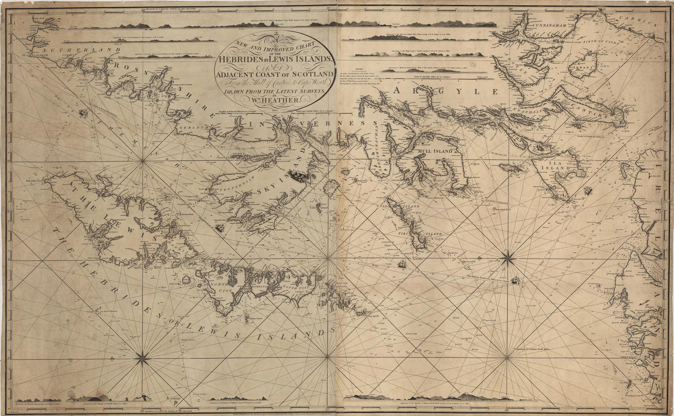
 New and improved chart of the Hebrides.
 -
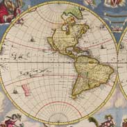 Nova Et Accvratissima Totius Terrarvm Orbis Tabvla.
 -
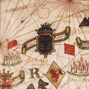 Portolan chart of Europe.
 -
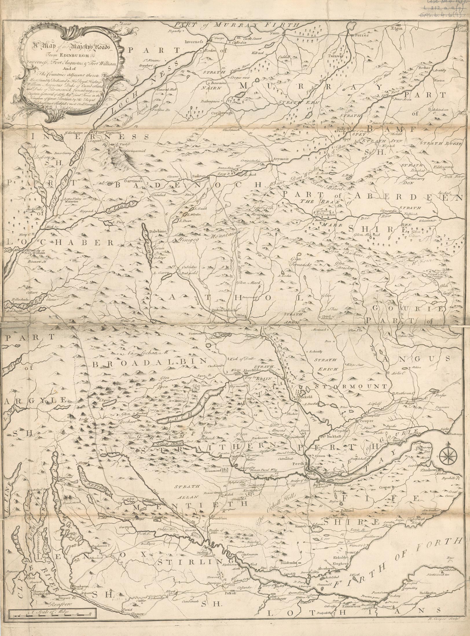
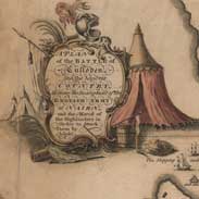 A plan of the battle of Culloden and the adjacent country.
 -
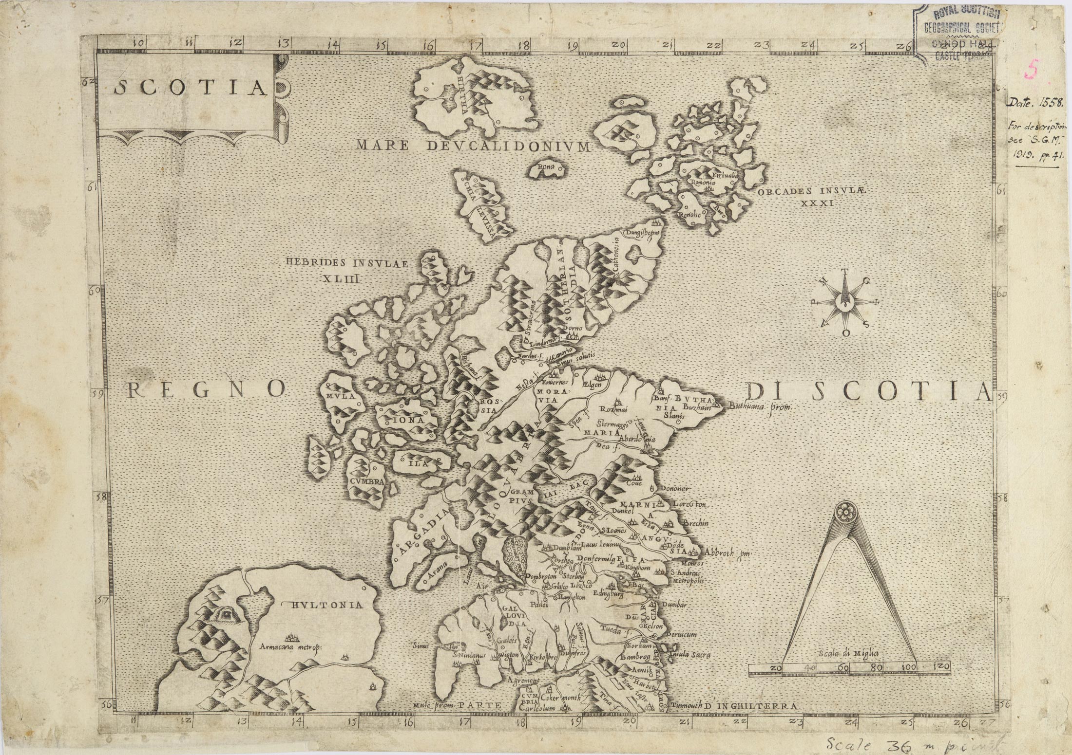
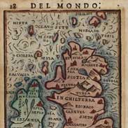
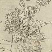 'Scotia' by Paolo Forlani, Venice: around 1560
.
'Scotia' by Paolo Forlani, Venice: around 1560
. -
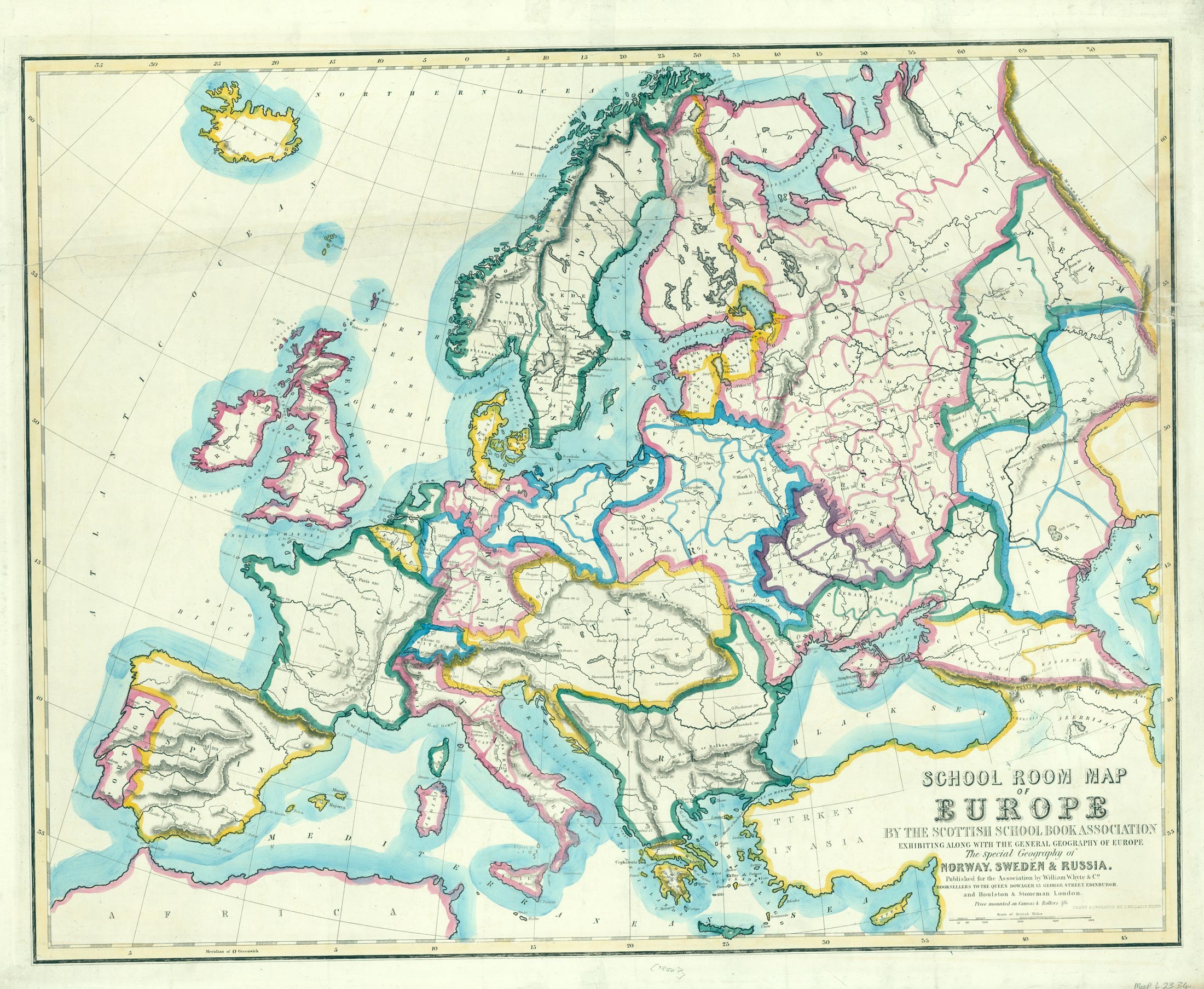
 School room map of Europe by the Scottish School Book …
 -
 New hydrographical survey of the islands of Shetland.
 -
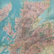
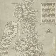 Great Britain
 -
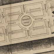 Edinburgh
 -
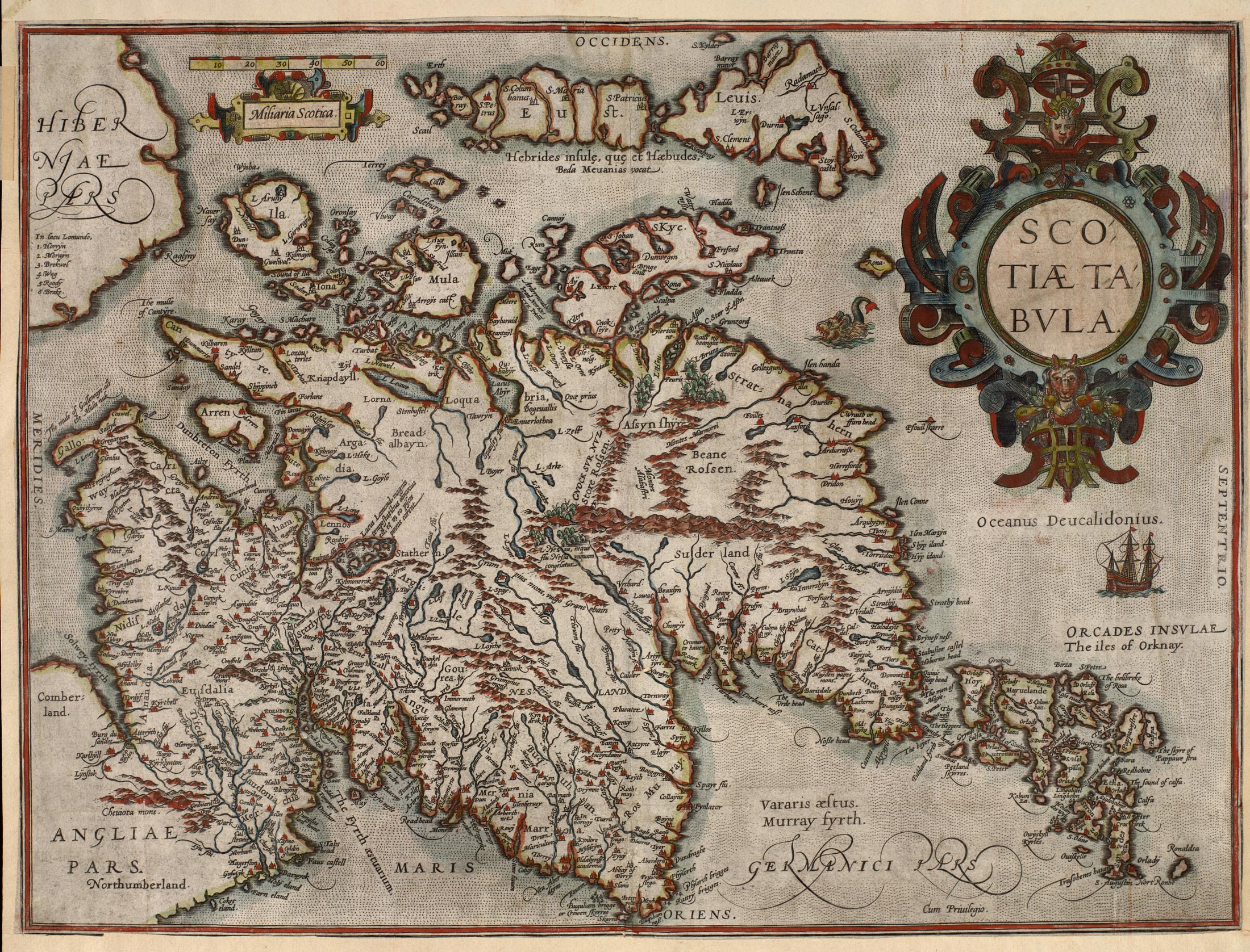
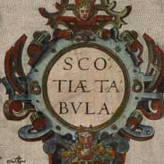 Scotiae tabula / Abraham Ortelius.
Antwerp …
Scotiae tabula / Abraham Ortelius.
Antwerp … -
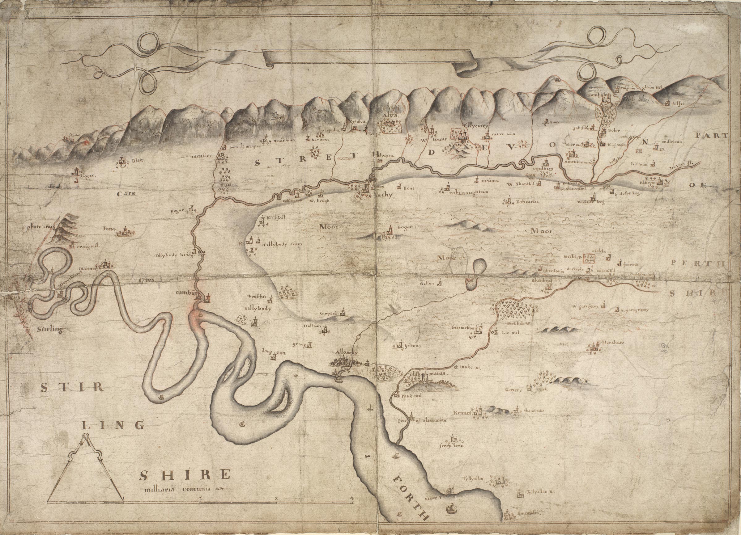
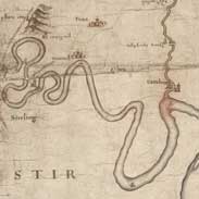 Map of Strath Devon and the district between the Ochils...
 -
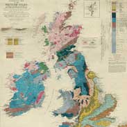 Geological map of the British Isles and Adjacent Coast...
 -
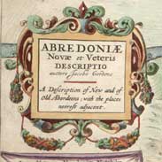 Abredoniae.
 -
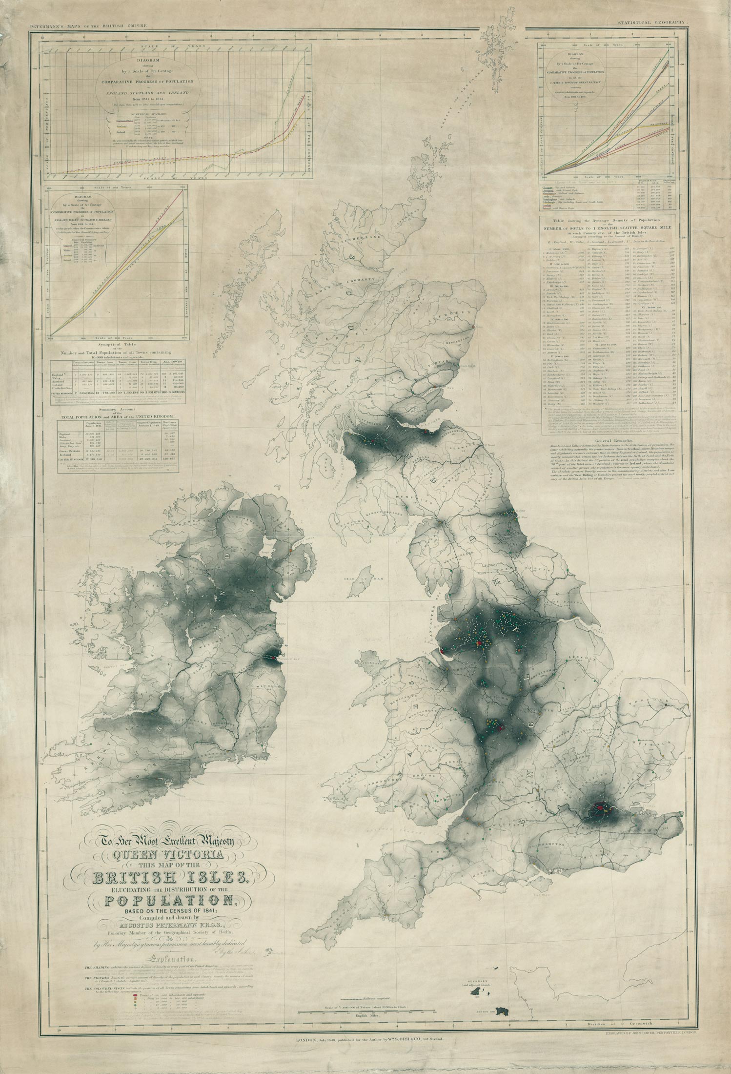
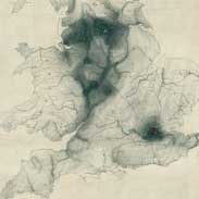 Victorian population map.
 -
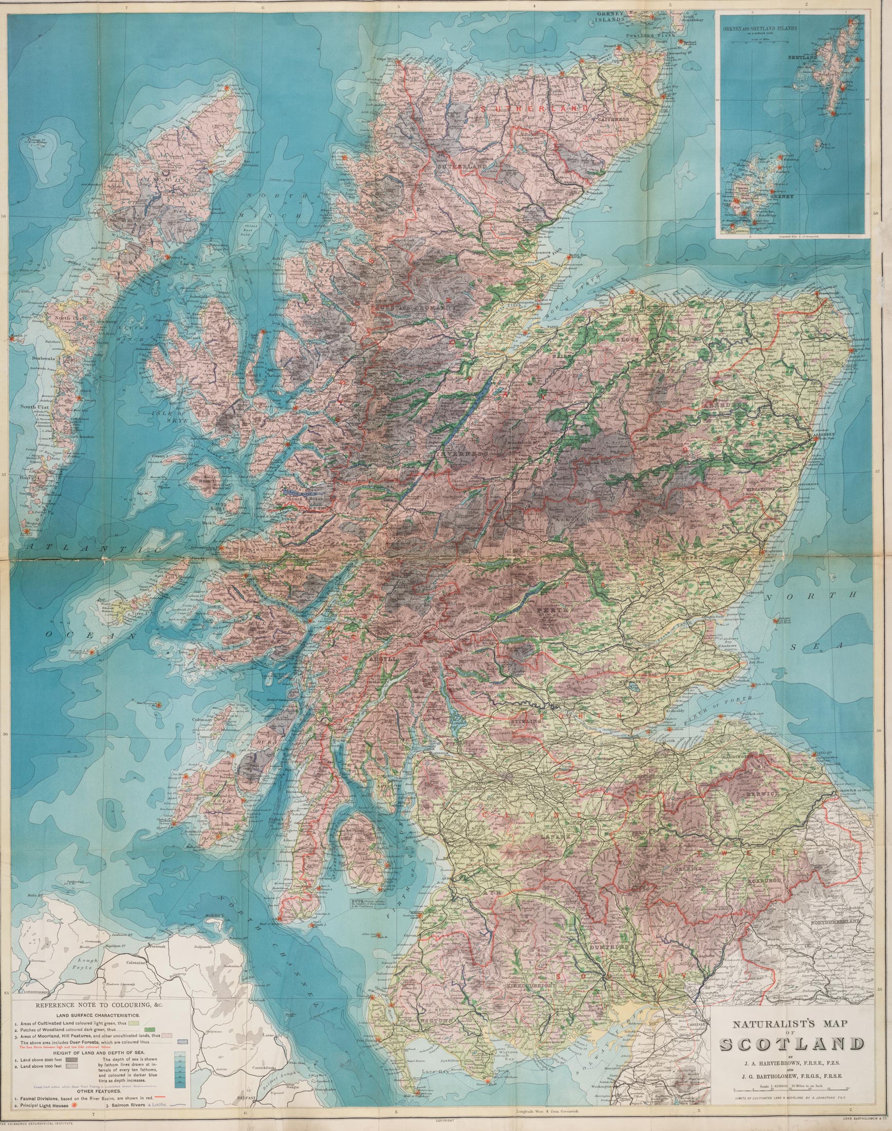
 Naturalist's map of Scotland.
 -
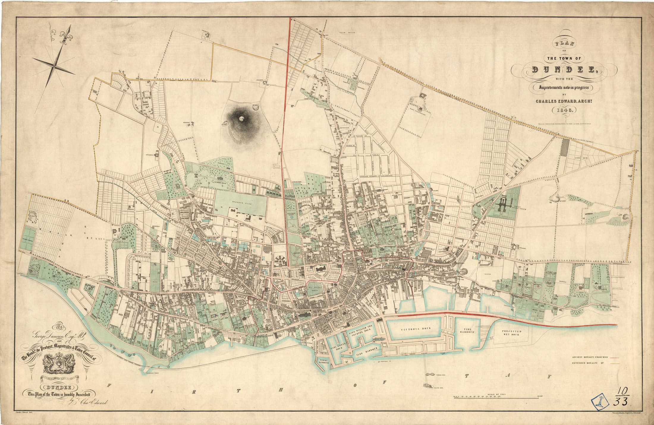
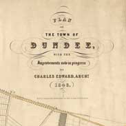 Plan of the town of Dundee …
 -
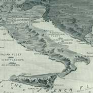 'The Graphic' war map.
 -
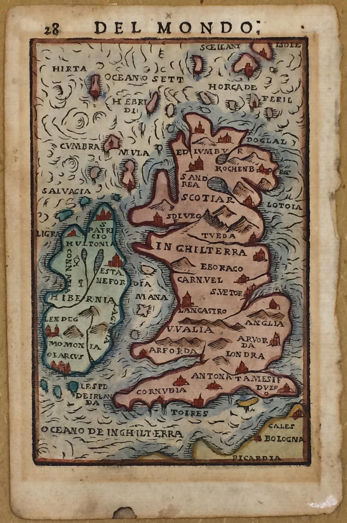
 Map of Great Britain and Ireland.
 -
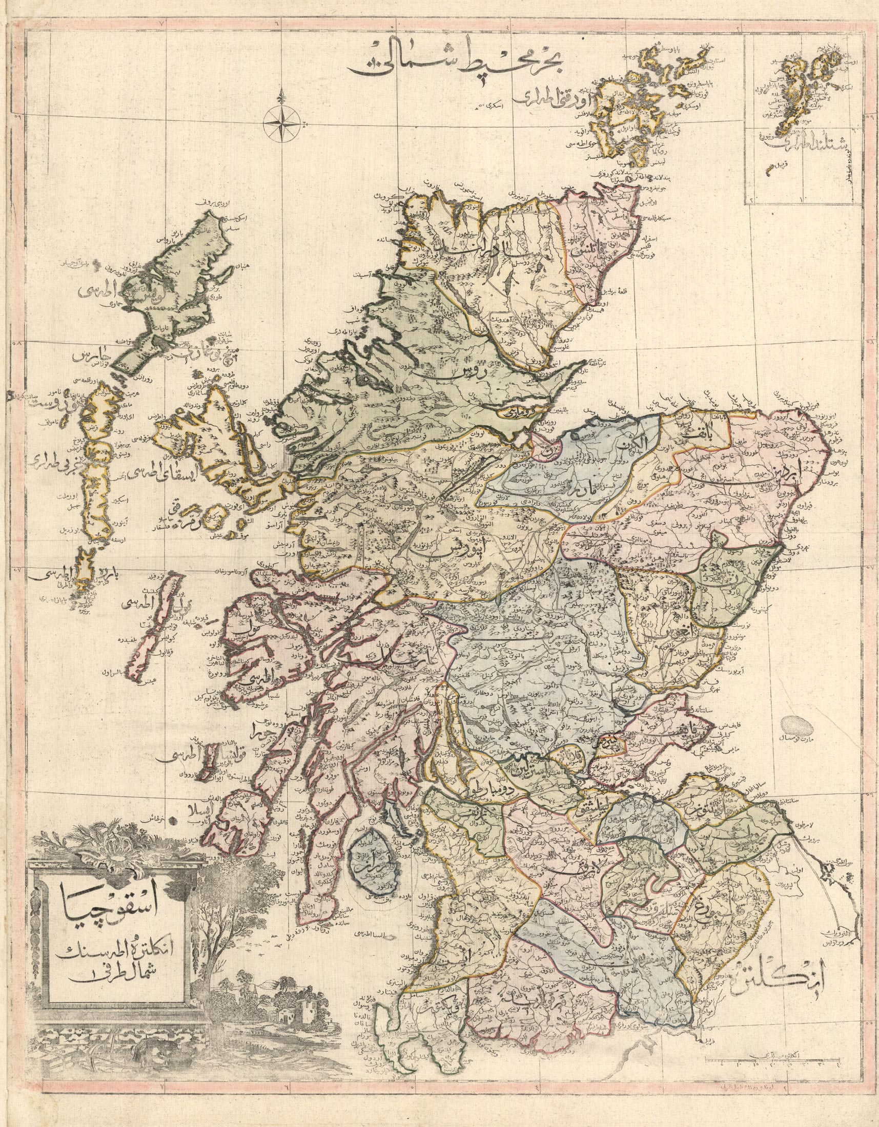
 Ascozia
 -
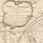 18th century map of Inverness
 -
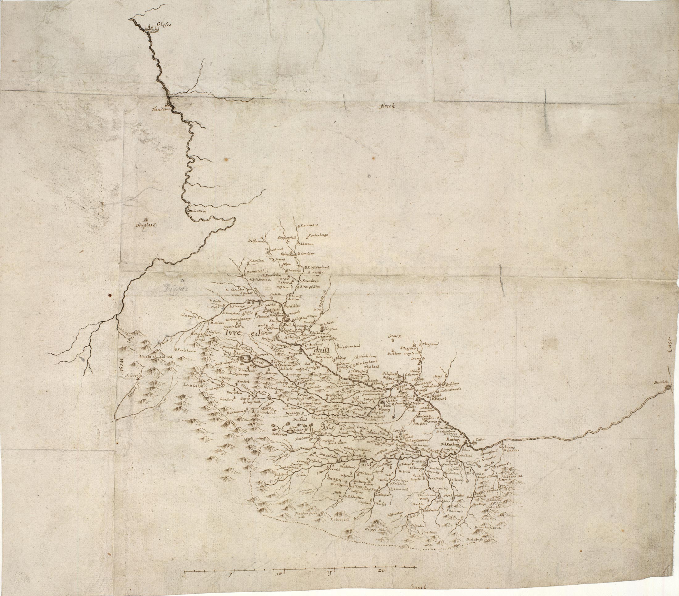
 Map of the Clyde and Tweed basins.
 -
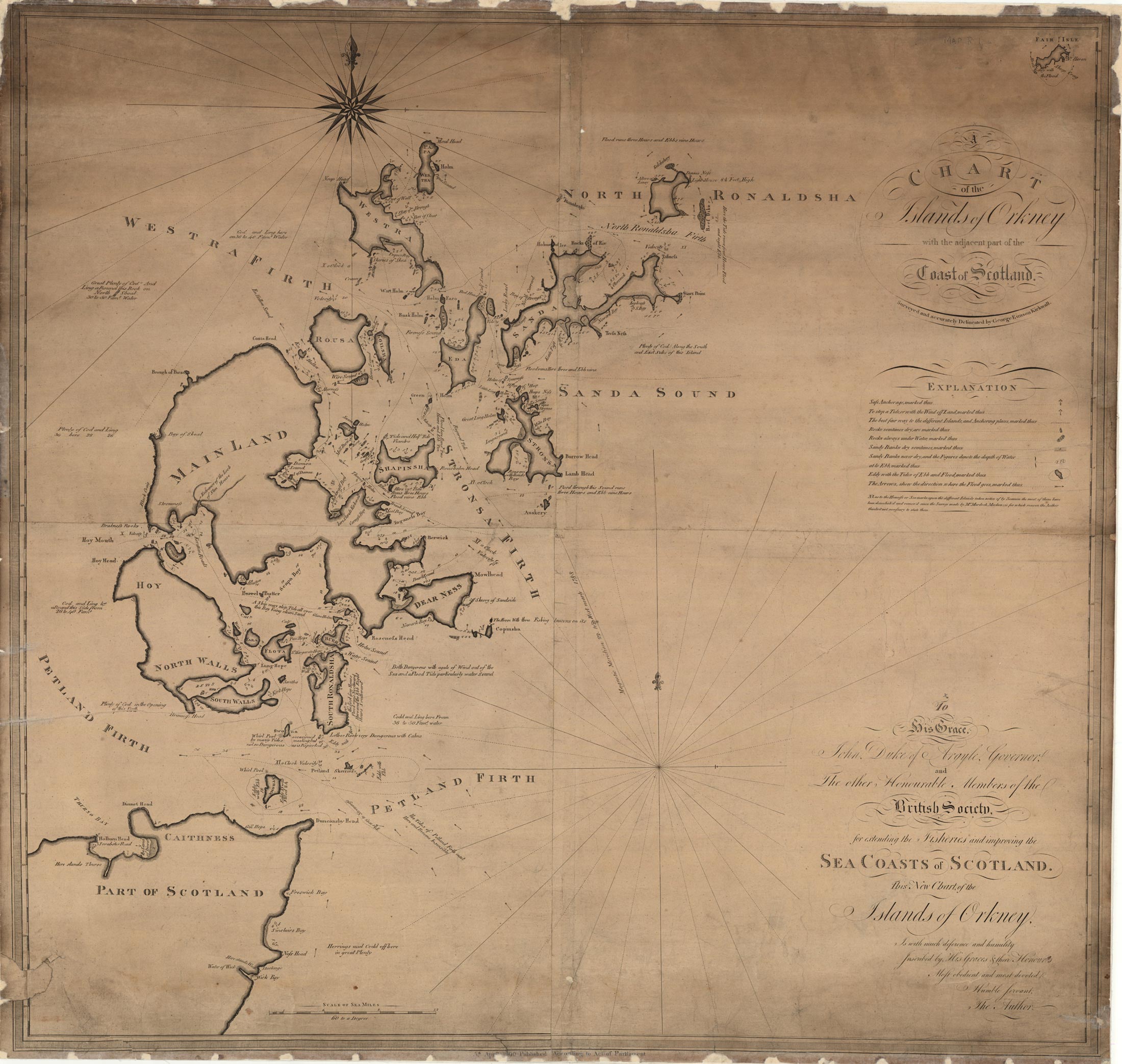
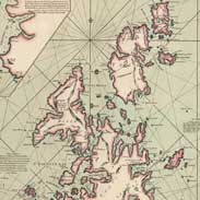
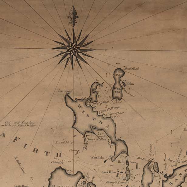 Chart of the islands of Orkney with the coast of Scotland.