Red and white book of Menzies
(186) Page 130
Download files
Complete book:
Individual page:
Thumbnail gallery: Grid view | List view

130 THE "RED cV> WHITE" BOOK OF MENZIES. [a.d. 1457.
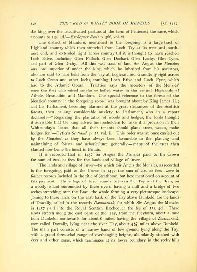
the king over the uncultivated pasture, at the term of Pentecost the same, which
amounts to 1 3s. 4<d." — Exchequer Rolls, p. 366, vol. vi.
The district of Mamlorn, mentioned in the foregoing, is a large tract of
Highland country which then stretched from Loch Tay at its west and north-
west end, and extended right across country till it is thought to have reached
Loch Etive, including Glen Falloch, Glen Dochart, Glen Lochy, Glen Lyon,
and part of Glen Orchy. All this vast tract of land Sir Angus the Menzies
was lord superior of under the king, which he inherited from his ancestors,
who are said to have held from the Tay at Logierait and Grandtully right across
to Loch Crean and other lochs, touching Loch Etive and Loch Fyne, which
lead to the Atlantic Ocean. Tradition says the ancestors of the Menzies'
were the first who raised smoke or boiled water in the central Highlands of
Athole, Breadalbin, and Mamlorn. The special reference to the forests of the
Menzies' country in the foregoing record was brought about by King James II.;
and his Parliament, becoming alarmed at the great clearances of the Scottish
forests, then causing considerable anxiety to Parliament, who in a report
declared : — " Regarding the plantation of woods and hedges, the lords thought
it advisable that the king advise his freeholders to make it a provision in their
Whitsunday's leases that all their tenants should plant trees, woods, make
hedges, &c." — Tytler's Scotland, p. 53, vol. ii. This order was at once carried out
by the Menzies', as they have always been favourable to the planting and
maintaining of forests and arboriculture generally — many of the trees then
planted now being the finest in Britain.
It is recorded that in 1457 Sir Angus the Menzies paid to the Crown
the sum of 20s., as fees for the lands and village of Inver.
The lands and village of Inver — for which Sir Angus the Menzies, as recorded
in the foregoing, paid to the Crown in 1457 the sum of 20s. as fees — were in
former records included in the title of Strathbran, but here mentioned on account of
this payment. The village of Inver stands between the Tay and the Bran, on
a woody island surrounded by these rivers, having a mill and a bridge of two
arches stretching over the Bran, the whole forming a very picturesque landscape.
Joining to these lands, on the east bank of the Tay above Dunkeld, are the lands
of Dowally, called in the records Daumarnok, for which Sir Angus the Menzies
in 1457 paid into the Royal Scottish Exchequer the fee of 33s. 4d. These
lands stretch along the east bank of the Tay, from the Pleyburn, about a mile
from Dunkeld, northwards for about 6 miles, having the village of Daumarnok,
now called Dowally, lying near the river Tay, about 4^ miles above Dunkeld.
The main part consists of a narrow band of low ground lying along the Tay,
with a grand forest-clad range of overhanging heights, abundantly stocked with
deer and other game, which terminates at its lower boundary in the rocky hills
Set display mode to:
![]() Universal Viewer |
Universal Viewer | ![]() Mirador |
Large image | Transcription
Mirador |
Large image | Transcription
Images and transcriptions on this page, including medium image downloads, may be used under the Creative Commons Attribution 4.0 International Licence unless otherwise stated. ![]()
| Histories of Scottish families > Red and white book of Menzies > (186) Page 130 |
|---|
| Permanent URL | https://digital.nls.uk/96654964 |
|---|
| Description | A selection of almost 400 printed items relating to the history of Scottish families, mostly dating from the 19th and early 20th centuries. Includes memoirs, genealogies and clan histories, with a few produced by emigrant families. The earliest family history goes back to AD 916. |
|---|

