Topographical, statistical, and historical gazetteer of Scotland > Volume 2
(337) Page 323
Download files
Complete book:
Individual page:
Thumbnail gallery: Grid view | List view

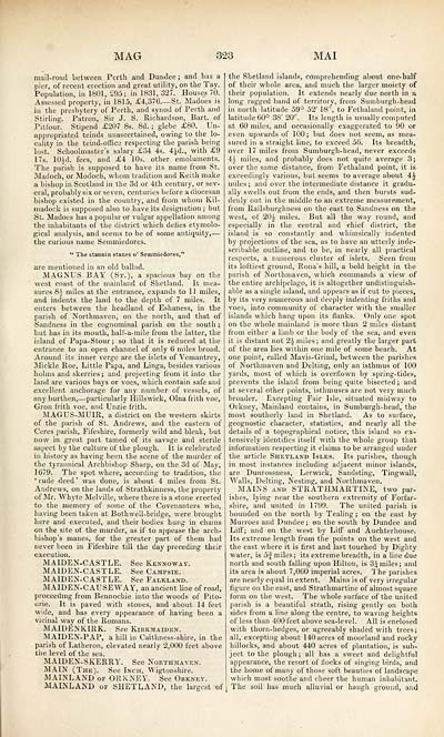
MAG
323
MAI
mail-road between Perth and Dundee ; and lias a
pier, of recent erection and great utility, on the Tay.
Population, in 1801, £95; in 1831, 327. Houses 70.
Assessed property, in 1815, £4,376 — St. Madoes is
in the presbytery of Perth, and synod of Perth and
Stirling. Patron, Sir J. S. Richardson, Bart, of
Pitfour. Stipend £207 8s. 8d. ; glebe £80. Un-
appropriated teinds unascertained, owing to the lo-
cality in the teind-ofrice respecting the parish being
lost. Schoolmaster's salary £34 4s. 4Jd., with £9
17s. lOid. fees, and £4 10s. other emoluments.
The parish is supposed to have its name from St.
Madoch, or Modoch, whom tradition and Keith make
a bishop in Scotland in the 3d or 4th century, or sev-
eral, probably six or seven, centuries before a diocesan
bishop existed in the country, and from whom Kil-
madock is supposed also to have its designation ; but
St. Madoes has a popular or vulgar appellation among
the inhabitants of the district which defies etymolo-
gical analysis, and seems to be of some antiquity, —
the curious name Semmiedores.
" The stannin stanes o' Semmiedores,* 1
are mentioned in an old ballad.
MAGNUS BAY (St.), a spacious bay on the
west coast of the mainland of Shetland. It mea-
sures 8V miles at the entrance, expands to 1 1 miles,
and indents the land to the depth of 7 miles. It
enters between the headland of Eshaness, in the
parish of Northmaven, on the north, and that of
Sandness in the cognominal parish on the south ;
but has in its mouth, half-a-mile from the latter, the
island of Papa-Stour; so that it is reduced at the
entrance to an open channel of only 6 miles broad.
Around its inner verge are the islets of Vemantrey,
Miekle Roe, Little Papa, and Linga, besides various
holms and skerries; and projecting from it into the
land are various bays or voes, which contain safe and
excellent anchorage for any number of vessels, of
any burthen, — particularly Hillswick, Olna frith voe,
Gron frith voe, and Unzie frith.
MAGUS-MU1R, a district on the western skirts
of the parish of St. Andrews, and the eastern of
Ceres parish, Fifeshire, formerly wild and bleak, but
now in great part tamed of its savage and sterile
aspect by the culture of the plough. It is celebrated
in history as having been the scene of the murder of
the tyrannical Archbishop Sharp, on the 3d of May,
1679. The spot where, according to tradition, the
' rude deed ' was done, is about 4 miles from St.
Andrews, on the lands of Strathkinness, the property
of Mr. Whyte Melville, where there is a stone erected
to the memory of some of the Covenanters who,
having been taken at Bothwell-bridge, were brought
here and executed, and their bodies hung in chains
on the site of the murder, as if to appease the arch-
bishop's manes, for the greater part of them had
never been in Fifeshire till the day preceding their
execution.
MAIDEN-CASTLE. See Kennoway.
MAIDEN-CASTLE. See Campsie.
MAIDEN-CASTLE. See Falkland.
MAIDEN-CAUSEWAY, an ancient line of road,
proceeding from Bennochie into the woods of Pito-
(Jrie. It is paved with stones, and about 14 feet
wide, and has every appearance of having been a
vicinal way of the Romans.
MAIDENKIRK. See Kirkmatden.
MAtDEN-PAP, a hill in Caithness-shire, in the
parish of Latheron, elevated nearly 2,000 feet above
the level of the sea.
MAIDEN-SKERRY. See Northmaven.
MAIN (The). See Inch, Wigtonshire.
MAINLAND of ORKNEY. See Orkney.
MAINLAND of SHETLAND, the largest of
the Shetland islands, comprehending about one-half
of their whole area, and much the larger moiety of
their population. It extends nearly due north in a
long ragged band of territorv, from Sumburgh-head
in north latitude 59° 52' 18"", to Fethaland point, in
latitude 60° 38' 20". Its length is usually computed
at 60 miles, and occasionally exaggerated to 90 or
even upwards of 100; but does not seem, as mea-
sured in a straight line, to exceed 56. Its breadth,
over 17 miles from Sumburgh-head, never exceeds
ik miles, and probably does not quite average 3;
over the same distance, from Fethaland point, it is
exceedingly various, but seems to average about 4i
miles; and over the intermediate distance it gradu-
ally swells out from the ends, and then bursts sud-
denly out in the middle to an extreme measurement,
from Railsburgliness on the east to Sandness on the
west, of 20J- miles. But all the way round, and
especially in the central and chief district, the
island is so constantly and whimsically indented
by projections of the sea, as to have an utterly inde-
scribable outline, and to be, in nearly all practical
respects, a numerous cluster of islets. Seen from
its loftiest ground, Rona's hill, a bold height in the
parish of Northmaven, which commands a view of
the entire archipelago, it is altogether undistinguish-
able as a single island, and appears as if cut to pieces,
by its very numerous and deeply indenting friths and
voes, into community of character with the smaller
islands which hang upon its flanks. Only one spot
on the whole mainland is more than 2 miles distant
from either a limb or the body of the sea, and even
it is distant not 2£ miles; and greatly the larger part
of the area lies within one mile of some beach. At
one point, called Mavis-Grind, between the parishes
of Northmaven and Delting, only an isthmus of 100
yards, most of which is overflown by spring-tides,
prevents the island from being quite bisected ; and
at several other points, isthmuses are not very much
broader. Excepting Fair Isle, situated midway to
Orkney, Mainland contains, in Sumburgh-head, the
most southerly land in Shetland. As to surface,
geognostic character, statistics, and nearly all the
details of a topographical notice, this island so ex-
tensively identifies itself with the whole group that
information respecting it claims to be arranged under
the article Shetland Isles. Its parishes, though
in most instances including adjacent minor islands,
are Dunrossness, Lerwick, Sandsting, Tingwall,
Walls, Delting, Nesting, and Northmaven.
MAINS and STRATHMARTINE, two par-
ishes, lying near the southern extremity of Forfar-
shire, and united in 1799. The united parish is
bounded on the north by Tealing ; on the east by
Murroes and Dundee; on the south by Dundee and
Liff; and on the west by Liff and Auchterhouse.
Its extreme length from the points on the west and
the east where it is first and last touched by Dighty
water, is 5| miles; its extreme breadth, in a line due
north and south falling upon Hilton, is 3 J miles; and
its area is about 7,060 imperial acres. The parishes
are nearly equal in extent. Mains is of very irregular
figure on the east, and Strathmartine of almost square
form on the west. The whole surface of the united
parish is a beautiful strath, rising gently on both
sides from a line along the centre, to waving heights
of less than 400 feet above sea-level. All is enclosed
with thorn-hedges, or agreeably shaded with trees;
all, excepting about 140 acres of moorland and rocky
hillocks, and about 440 acres of plantation, is sub-
ject to the plough ; all has a sweet and delightful
appearance, the resort of flocks of singing birds, and
the home of many of those soft beauties of landscape
which most soothe and cheer the human inhabitant.
The soil has much alluvial or haugh ground, and
Set display mode to: Large image | Transcription
Images and transcriptions on this page, including medium image downloads, may be used under the Creative Commons Attribution 4.0 International Licence unless otherwise stated. ![]()
| Gazetteers of Scotland, 1803-1901 > Topographical, statistical, and historical gazetteer of Scotland > Volume 2 > (337) Page 323 |
|---|
| Permanent URL | https://digital.nls.uk/97498007 |
|---|
| Description | Volume second. I-Z. |
|---|---|
| Attribution and copyright: |
|

