Gazetteer of Scotland > Volume 1
(490) Page 456
Download files
Complete book:
Individual page:
Thumbnail gallery: Grid view | List view

456
G A M H I E.
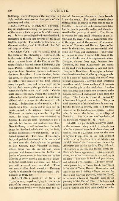
Galloway, which designates the northern or
high, and the southern or low parts of the
stewartry and shire.
GALLOWAY, (MULL OF) a promon-
tory in Wigtonshire, being the southern point
of the western limb or peninsula of that coun-
try. It is an exceedingly bold rocky headland,
excavated by the sea into caverns of the most
frightful aspect. The Mull (or bare head) is
the most southerly land in Scotland. Lat. 54°
38' long. 5° 9' west.
GALLOWAY, (NEW) a small town at
the centre of the Stewartry of Kirkcudbright,
in the parish of Kells. It is pleasantly situat-
ed on the west banks of the Ken, at the dis-
tance of eighty-four miles from Edinburgh, eight
from Parton, fourteen from Castle Douglas,
eighteen from Newton Stewart, and twenty-
five from Dumfries. Across the river, below
the town, an elegant stone bridge was erected
in 1822. The houses of the town stretch
along the public road, and form a single tolera-
bly well-built street ; the population are sup-
ported chiefly by inland retail trade. On the
north side of the town, within the distance of
half a mile, is the parish church, a neat stone
edifice, with a tower in the centre, built
in 1822. Insignificant as the town is, it hap-
pens to be a royal burgh, and as such has hi-
therto united with Wigton, Stranraer, and
Whithorn, in nominating a member of parlia-
ment. Its burgal charter was conferred by
Charles I., and its civic functionaries are a
provost, two bailies, and fourteen councillors.
New Galloway is said to have been the only
burgh in Scotland which did not, in 1819,
petition parliament for burgh reform. It peti-
tioned against it. The cause of this singu-
larity of political sentiment is further stated
to have been, that the burgh was the property
of Mr. Gordon, now Viscount Kenmure,
whose butler was its provost, and whose
gardener and footman were its bailies. A
justice of peace court is held here on the first
Monday of every month ; and there is attach-
ed to the court-house a criminal and debtors'
jail, with a steeple and town clock. There
are several fairs held annually. Kenmure
Castle is situated in the neighbourhood Po-
pulation in 1821, 450.
GAL ST ON, a parish in the district of
Kyle- Stewart, Ayrshire, lying in the upper
pari of the county contiguous to Lanarkshire,
and separated by the river Irvine from the pa-
rish of Loudon on the north ; Sorn bounds
it on the south. The parish extends about
thirteen miles in length by from four to five in
breadth. The surface is diversified with hills,
but the land is generally arable, and there is a
considerable quantity of wood. The district
is watered by some small tributaries of the Ir-
vine, and the river Avon of Lanarkshire rises
in the upper part of the parish. The ancient
castles of Cessnock and Bar are objects of in.
terest in the district, and are surrounded with
some fine woods and plantations. The village
of Galston is situated on the left bank of the
Irvine at the distance of twenty-two miles from
Glasgow, sixteen from Ayr, fourteen from
Cumnock, five from Kilmarnock, and stands
on the road from Edinburgh to Ayr and from
Glasgow to Dumfries. It occupies a hollow
situation sheltered on all sides by rising grounds,
and is a town of considerable size and of very
pleasant appearance ; deriving great ornament
from the wooded " banks and braes" of Loudon,
which overhang it on the north side. Loudon
castle is a large and magnificent structure, in the
modem castellated style, about a mile from the
village. The Irvine is crossed at Galston by
a fine stone bridge of three arches. The prin-
cipal occupation of the inhabitants is weaving.
Besides the parish church, there is a meeting
house of the United Associate Synod. Three
miles farther up the Irvine, is the village of
Newmills. See Newmili.s. — Population of
the parish and villages in 1821, 3442.
GAMRIE, a parish in the county of Banff
on the sea-coast, along which it extends ten
miles by a general breadth of about three, and
reaches from the Deveron river on the west
to beyond Troup Head on the east, bounded
on the west by Banff, (a piece of which is on
the right side of the Deveron,) on the east by
Aberdour, and on the south by King Edward.
The surface is uneven, and though partly ara-
ble, is of a bleak appearance. Plantations are
rising, and other improvements are making in
the land. The coast is bold and precipitous,
and indented with caverns. The most conspi-
cuous promontory is Troup Head, near which
is the seat of Troup House. Gardenston and
some other small fishing villages are on the
shores, and near the Deveron, opposite Banff,
is the modern town of Macduff, built on the
property of the Earl of Fife. The house and
pleasure-grounds of that nobleman are exceed-
ingly beautiful, and have been alluded to under
Set display mode to: Large image | Transcription
Images and transcriptions on this page, including medium image downloads, may be used under the Creative Commons Attribution 4.0 International Licence unless otherwise stated. ![]()
| Gazetteers of Scotland, 1803-1901 > Gazetteer of Scotland > Volume 1 > (490) Page 456 |
|---|
| Permanent URL | https://digital.nls.uk/97430242 |
|---|
| Description | Volume I: Abbey to Glenartney. |
|---|---|
| Attribution and copyright: |
|
| Description | By Robert Chambers and William Chambers. Glasgow: Blackie & Son, 1838. 2 volumes. |
|---|---|
| Shelfmark | NF.1461.g.7 |
| Additional NLS resources: | |

