Gazetteer of Scotland
(177) Page 175
Download files
Complete book:
Individual page:
Thumbnail gallery: Grid view | List view

M O N
M O N
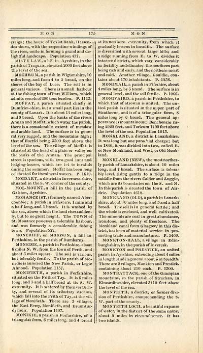
crdigs ; the house of Teviot Bank, Hassen-
deanburn, with the serpentine windings of
the river, unite in forming a grand and de-
lightful landscape. Population 477.
MIST Y LAW, a hill in Ayrshire, in the
garish, of Traquair, elevated 2000 feet above
the level of the sea.
MOCHRU M, a parish in Wigtonshire, 1
miles long, and from 4 to 5 broad, on the
shores of the bay of Luce. The soil is in
general various. There is a small harbour
at the fishing town of Port William, which
admits vessels of 200 tons burden. P. 1113.
MOFFAT, a parish situated chiefly in
Dumfries-shire, but a small part lies in the
county of Lanark. It is about 15 miles long,
and 9 broad. Upon the banks of the rivers
Annan and Moifat, which water the parish,
there is a considerable extent of meadow
and arable laud. The surface is in gene-
ral very rugged, and the mountains high ;
that of Hartfel being S300 feet above the
level of the sea. The village of Moffat is
situ ited at the head of a plain or valley on
the banks of the Annan. The principal
street is spacious, with two good inns and
lodging-houses, which are let to invalids
during the summer. Moffat has been long
celebrated for its mineral waters. P. 1619.
MOIDART, a district in Inverness-shire,
situated in the S. W. corner of the county. I
MOL-MOUNT, a hill in the parish of '
Galston, Ayrshire.
MONANCE (ST.) formerly named Aber-
crombie; a parish in Fifesbire, 1 mile and
a half long, and 1 broad. It is washed by
the sea, above which the land rises sudden-
ly, but to no great height. The TOWN of
St. Monance possesses a tolerable harbour,
and was formerly a considerable fishing
town. Population 522.
MONCRIEF, or MORDUN, a hill in I
Perthshire, in the parish of Dumbarny.
MONEDIE, a parish in Perthshire, about ]
6 miles N. W. from the town of Perth, and
about 3 miles square. The soil is various,
but tolerably fertile. To the parish of Mo-
nedieis annexed the New Parish, or Logie
Almond. Population 1157.
MONIFIETH, a parish in Forfar»hire,
situated on the Frith of Tay. It is 6 miles
long, and 3 and a half broad at its S. W.
extremity. It is watered by the river Dich-
ty, and several of its tributary streams,
■which fall into the Frith of Tay, at the vil-
lage of Monifieth. There are 3 villages,
the East Ferry, Monifieth, and Drumstur-
dymuir. Population 1407.
MONIKIE, a parish in Forfarshire, of a
triangular form, 6 miles long, and 4 broad
at its northern extremity, from which it
gradually lessens in breadth. The surface
is diversified with several large hills; and
a ridge running from E. to W. divides it
into two districts, which vary considerably
in fertility and climate; the southern part
being rich and early, and the northern moist
andcold. Another village, Gouldie, con-
tains about 170 inhabitants. P. 1236.
MONIMAIL, a parish in Fifeshire, about
4 miles long, by 3 broad. The surface is in
general level, and the soil fertile. P. 1066.
MONIVAIRD, a parish in Perthshire, to
which that of Strowan is united. The un-
ited parish is situated in the upper part of
Stratherne, and is of a triangular form, 8
miles long by 6 broad. The general ap-
pearance is mountainous; Benchonzie ris-
ing 2922 feet, and Torleum 1400 feet above
the level of the sea. Population 1013.
MONKLAND, a district in Lanarkshire.
It waslong but one paroLhial charge; but
in 1840, it was divided into two, called E.
or New Monkland, and West, or Old Monk-
land.
MONKLAND (NEW), the most norther-
ly parish of Lanarkshire, is about 10 miles
long, and 7 broad. The surface is tolera-
bly level, rising gently to a ridge in the
middle from the rivers Calder and Luggie,
which are its boundaries on theS. andN.
In this parish is situated the town of Air-
drie. Population 4618.
MONKLAND (OLD),aparish in Lanark-
shire, about 10 miles long, and 3 and a half
broad. The soil is in general fertile; and
the whole is enclosed, and well cultivated.
The minerals are coal in great abundance,
ironstone, and plenty of freestone. The
Monkland canal from Glasgow.in this dis-
trict, has been of material service in pro-
moting trade and manufactures. P. 5409.
MONKTON-HALL, a village in Edin-
burghshire, in the parish of Inveresk.
MONKTON and PRE3TICK, an united
parish in Ayrshire, extending about 4 miles
in length, and in general about 3 in breadth.
There are 2 villages, Monkton and Prestick.
containing about 250 each. P. 1300.
MONTBATTACK, one of the Grampian
mountains, in the parish of Strachan, in
Kincardineshire, elevated 3410 feet above
the level of the sea.
MONTEITH, a district, or former divi-
sion of Perthshire, comprehending the S.
W. part of the county.
MONTEITH LOCH, a beautiful expanse
of water, in the district of the same name,
about 5 miles in circumference. It has
two islands.
Set display mode to: Large image | Transcription
Images and transcriptions on this page, including medium image downloads, may be used under the Creative Commons Attribution 4.0 International Licence unless otherwise stated. ![]()
| Gazetteers of Scotland, 1803-1901 > Gazetteer of Scotland > (177) Page 175 |
|---|
| Permanent URL | https://digital.nls.uk/97423818 |
|---|

