Gazetteer of Scotland
(138) Page 136
Download files
Complete book:
Individual page:
Thumbnail gallery: Grid view | List view

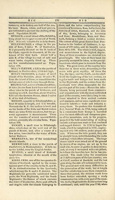
instances, as to destroy one-half of the ara-
ble land. Broom, whins, and bent grasses,
are cultivated to prevent the shifting of the
sand. Population 90,000.
HEISKER, a small island ofthe Hebrides,
lying about two leagues westward of North
Uist. It is only valuable for its kelp shores.
HELENSBURGH, a village in the pa-
rish of Row, 8 mile3 W. of Dunbarton.
It is pleasantly situated on the N. bank of
the Clyde, opposite to Greenock, at the en-
trance of the Gair Loch. About half a
mile E. ofthe village is a suit of cold and
warm baths, elegantly fitted up. There
are few manufactures carried on. Popu-
lation 450.
HELL'S CLEUGH, a bill in the parish of
Kirkurd, in Peebles-shire, '2100 feet high.
HELL'S SKERRIES, a cluster of small
islands of the Hebrides, about 10 miles W.
from the island of Rum, so named from the
violent current which runs through them.
HELMSDALE, a river of Sutheriandshire.
It takes its rise from Loch Coyn and several
other lakes in the parish of Kildonan, and
running in a S.E. direction, about 20 miles,
falls into the German Ocean, about 5 miles
S. of the Ord of Caithness.
HERIOT, a parish in Edinburghshire, a-
bout 10 miles in length, and 6 in breadth.
Towards the N. E. the surface is level, and
on the banks ofthe Gala and Heriot waters
there are some fertile meadows, but the ge-
neral appearance is mountainous. There
are the remains of several ancient fortifi-
cations, generally of a circular form. Popu-
lation 500.
HERIOT, a small river in Edinburgh-
shire, which rises at the west end of the
parish of Heriot, and, after a course of a
few miles, loses itself in the water of Gala,
below Haltrees.
HERMATFA, one ofthe uninhabited
Harris islands.
HERMITAGE, a river in the parish of
Castletown, in Roxburghshire. It falls in-
to the Liddal, near the English border.
HKSTON, a small island of Kirkcud-
brightshire, situated at the mouth ofthe
river Urr.
HIGHLANDS, one ofthe two greater di-
visions of Scotland, applied to the moun-
tainous part of the country to the N. and N.
W. in contradistinction to the Lowlands,
which occupy the E. and S. E. district. The
Highlands are generally subdivided into 2
parts, the West Highlands, and the North
Highlands ; the former of which contains
the shires of Dunbarton, Bute, part ofPerth
and Argyle, with the islands belonging to
136 II I G
them, and the latter comprehending the
counties of Inverness, Ross, Sutherland,the
districts of Athol, Rannoch, and the isles
of Sky, Lewis, belonging to Inverness
and Ross; Breadalbane, Marr, and Mon-
teith, forming a third or central division.
The extent of this great district from Dun-
barton to the borders of Caithness, is up-
wards of 200 miles, and its breadth varies
from 80 to 100. The whole is wild, rugged,
and mountainous in the highest degree.
Many of these mountains are elevated to a
great height. The vales at their bases are
generally occupied by lakes, or the precipi-
tous rivers which pour in torrents from the
hills. The great rivers of the country have
their rise in these wilds, descending to the
ocean with great rapidity. Of these the
Tay, the Spey, and the Forth, are the chief.
Until the beginning ofthe last century, no
regular roads and bridges had been made
in the Highlands, and the entries from the
Lowlands were often impassable for the
greater part ofthe year.--Hence the inha-
bitants, being prevented from commerce
and acquaintance with the more cultivated
part of the country, were likely long to con-
tinue attached to their ancient customs
and manners, unless some expedients were
found to introduce trade and industry a-
mong them. To produce this desirable ef-
fect, General Wade, in 1724, being ordered
by a commission from George I. travelled
over the most difficult and dangerous pass-
es of the mountains, and, in his progress,
projected the bold undertaking of making
smooth and spacious roads in that confused
and rugged district. In 1726 he began the
work, which he completed in 17.37, employ-
ing in it only 500 soldiers, under proper offi-
cers. Wherever the hills permit, they run
in straight lines, notwithstanding the rocks
and bogs which often interpose. The large
stones which were raised out of the ground
by means of an engine, are set up by the
road side, to serve as guides in deep snows;
and, at every 5 measured miles are pillars,
to i nform the traveller how far he has pro-
ceeded. The roads enter the mountains
at 3 different parts of the low country; one
at Crieff, another at Dunkeld, and the last
goes along the side of I ochlomond by Luss.
The general met with many difficulties in
the prosecution ofthe work, but at length
had the satisfaction to see them completed.
Since that period, the military roads have
been farther extended, opening a ready
communication with every part of the coun-
try. In the Highlandsthe feudal system long
continued ; and, until the year 1748, when
Set display mode to: Large image | Transcription
Images and transcriptions on this page, including medium image downloads, may be used under the Creative Commons Attribution 4.0 International Licence unless otherwise stated. ![]()
| Gazetteers of Scotland, 1803-1901 > Gazetteer of Scotland > (138) Page 136 |
|---|
| Permanent URL | https://digital.nls.uk/97423350 |
|---|

