Gazetteer of Scotland
(112) Page 110
Download files
Complete book:
Individual page:
Thumbnail gallery: Grid view | List view

F O R 1
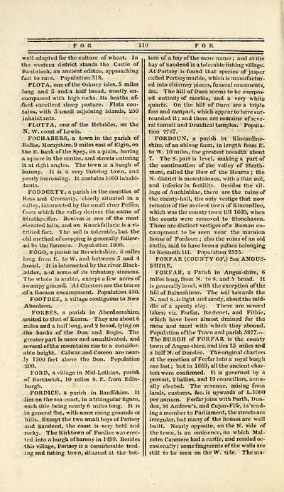
well adapted for the culture of wheat. In
the western district stands the Castle of
Banbriech, an ancient edifice, approaching
fast to ruin. Population 518.
FLOTA, one of the Orkney isles, 5 miles
long and 3 and a half broad, mostly en-
compassed with high rocks. Its heaths af-
ford excellent sheep pasture. Flota con-
tains, with 3 small adjoining islands, 250
inhabitants.
FLOTTA, one of the Hebrides, on the
N. W. coast of Lewis.
FOCHABERS, a town in the parish of
Bellie, Morayshire, 9 miles east of Elgin, on
the E. bank of the Spey, on a plain, having
a square in the centre, and streets entering
it at right angles. The town is a burgh of
barony. It is a very thriving town, and
yearly increasing. It contains 1000 inhabi-
tants.
FODDERTY, a parish in the counties of
Ross and Cromarty, chiefly situated in a
valley, intersected by the small river Peffer,
faim which the valley derives the name of
Strathpeffer. Benivas is one of the most
elevated hills, and on Knockfallaric is a vi-
trified fort. The soil is tolerable, but the
old method of cropping is generally follow-
ed by the farmers. Population 1900.
F0GO, a parish in Berwickshire, 6 miles
long from E. to W. and between 5 and 4
-broad. It is intersected by the river Black-
adder, and some of its tributary streams.
The whole is arable, except a few acres of
swampy ground. At Chesters are the traces
of a Roman encampment. Population 450.
FOOTDEE, a village contiguous to New
Aberdeen.
FORBES, a parish in Aberdeenshire,
united to that of Kearn. They are about 6
miles and a half long, and 2 broad, lying on
;the banks of the Don and Bogie. The
greater part is moor and uncultivated, and
several of the mountains rise to a consider-
able height. Calwar and Coreen are near-
ly 1200 feet above the Don. Population
too.
FORD, a village in Mid-Lothian, parish
of Borthwick, 10 miles S. E. from Edin-
FORDICE, a parish in Banffshire. It
lies on the sea coast, in a triangular figure,
each side being nearly 6 miles long. It is
in general flat, with some rising grounds or
hills. Except the two small hays of Portsoy
and Sandend, the coast is very bold and
rocky. The Kirktown of Fordice was erec-
ted into a burgh of barony in 1499. Besides
this village, Portioy is a considerable trad-
ing and fishing town, situated at the bot-
i FOR
torn of a bay of the same name ; and at the
bay of Sandend is a tolerable fishing village.
At Portsoy is found that species of jasper
called Portsoy marble, which is manufactur-
ed into chimney pieces, funeral ornaments,
&c. The hill of D urn seems to be compos-
ed entirely of marble, and a very white
quartz. On the hill of Durn area triple
foss and rampart, which appear to have sur-
rounded it ; and there are remains of seve-
ral tumuli and Druidical temples. Popula-
tion 2767.
FORDOUN, a parish m Kincardine-
shire, of an oblong form, in length from E.
to W. 10 miles, the greatest breadth about
7. The S. part is level, making a part of
the continuation of the valley of Strath-
more, called the How of the Mearns ; the
N. district is mountainous, with a thin soil,
and inferior in fertility. Besides the vil-
lage of Auchinblae, there are the ruins of
the county-hall, the only vestige that now
remains of the ancient town of Kincardine,
which was the county town till 1660, when
the courts were removed to Stonehaven.
There are distinct vestiges of a Roman en-
campment to be seen near the mansion
house of Fordoun ; also the ruins of an old
castle, said to have been a palace belonging
to Kenneth III. Population 2535.
FORFAR (COUNTY OF,) See ANGUS-
SHIRE.
FORFAR, a Parish in Angus-shire, 6
miles long, from N. to S. and 5 broad. It
is generally level, with the exception of the
hill of Balnashinar. The soil towards the
N. and S. is light and sandy, about the mid-
dle of a spouty clay. There are several
lakes, viz. Forfar, Restenet, and Fithie,
which have been almost drained for the
moss and marl with which they abound.
Population of the Town and parish 5877.—
The BURGH of FORFAR is the county
town of Angus-shire, and lies 13 miles and
a half N. of Dundee. Theoriginal charters
at the erection of Forfar into a royal burgh
are lost ; but in 1669, all the ancient char-
ters were confirmed. It is governed by a
provost, 2 bailies, and 19 councillors, annu-
ally elected. The revenue, arising from
lands, customs, &c. is upwards of L.1000
per annum. Forfar joins with Perth, Dun-
dee, St Andrew's, and Cupar-Fife, in'send-
ing a member to Parliament, the streets are
irregular, but many of the houses are well
built. Nearly opposite, on the N. side of
the town, is an eminence, on which Mal-
colm Canmore had a castle, and resided oc-
casionally ; somefragments of the walls are
still to be seen on the W\ side. The ma-
Set display mode to: Large image | Transcription
Images and transcriptions on this page, including medium image downloads, may be used under the Creative Commons Attribution 4.0 International Licence unless otherwise stated. ![]()
| Gazetteers of Scotland, 1803-1901 > Gazetteer of Scotland > (112) Page 110 |
|---|
| Permanent URL | https://digital.nls.uk/97423038 |
|---|

