Gazetteer of Scotland
(108) Page 106
Download files
Complete book:
Individual page:
Thumbnail gallery: Grid view | List view

F A L
106
A R
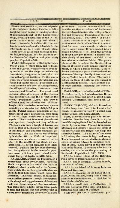
&"Af,A and SOUTKA, an united parish
in the Lothians, of which Fala lies in Edin-
burghshire, and Soutra in Haddingtonshire.
It eomprehends part of the Lammermuir
ridge, of which Soutrahill is the N. W.
point. It is 4 miles long, and about 5
broad. From the foot of the hill, the sur-
face is nearly level, and is tolerably fertile.
The lands are in a state of cultivation.
There are the ruins of an hospital on Sou-
tra-hill, founded in 1164 by Malcolm IV.,
for the relief of pilgrims and poor sickly
people. Population 561.
FALKIRK, a parish in Stirlingshire, be-
tween 7 and 8 miles long, and 4 broad.
From the Carron, which forms its bounda-
ry on the N. to the ridge on which the
town stands, the ground is level, of a rich
clay soil, of great fertility. To the south-
ward, the ground is more elevated and un-
equal, but mostly arable. This parish con-
tains the town and port of Grangemouth,
the villages of Camelon, Laurieston, Gra-
hamston, and Bainsford. The great canal
intersects it, and vestiges of the Roman
wall are still visible at the S. part, of the
town. Population 10,395.—The TOWN
of FALKIRK lies 24 miles West of Edin-
burgh. It is situated on an eminence, com-
manding an extensive and delightful pro-
spect. Falkirk consists principally of one
street, about three-quarters-of a mile from
E. to W., from which run a number of
•wynds. The street is in most places broad
and spacious, though not very uniform.
The town was once a burgh of barony un-
der the Earl of Linlithgow ; since the fall
of that family, it is under no municipal go-
vernment. The late church was founded
by Malcolm III. in 1057. A large and
commodious new church is erected on its
site. In the middle of the street, an ele-
gant steeple, 130feet high, has been lately
erected. Falkirk has few manufactures ;
but, being situated in the heart of a popu-
lous country, it has a good inland trade.
It has four great trysts, or cattle fairs.
FALKLAND, a parish in Fifeshire, of a
square form, about 10,000 acres. Towards
the N. is a plain or flat, called the Park of
Falkland, about a mile and a half square,
from which the surface gradually rises on
the S. to that hilly ridge which forms the
Lomonds. The ridge affords, in most pla-
ces, excellent pasture, though interspersed
with abrupt and rugged masses of freestone
rock, and loose heaps of blue moorstone.
The soil is partly a light brown loam, part-
ly sand an* grave! ; but the greater part is
%de«p most, containing the roots of oak and
other trees. Besides the town of Falkland,
and the contiguous suburbs of Ballinbrae,
the parish contains two other villages, New-
ton and Freuchie. Population of the town
and parish, '2320.— The TOWN of FALK-
LAND lies 8 miles W. of Cupar. It is situ-
ated so near the N. side of the E. Lomond,
that for more than a month in winter the
sun is never seen. It was erected into a
burgh by James II. in 145S; the revenue
is about L130 per annum. Falkland con-
sists chiefly of one street, in which is the
town-house, a modern fabric. The palace
stands at the E. end, on the N. side of the
street; it is now wholly ruinous except the
front, in w hich a family resides. This pa-
lace was for many years the occasional re-
sidence of the royal family of Scotland, and
James V. died here in 1542. The vault in
which the Duke of Rothesay was starved to
death is still to be seen. Falkland has a ve-
ry large common, including the whole E.
Lomond.
FALLOCH, a riverin the parish of Killin,
Perthshire, partly in Dunbartonshire. It rises
at Coilater More, and after a rapid course
through Glenfalloch, falls into Loch Lo-
mond.
FANNICH (LOCK), a lake in Ross-shire,
9 miles long, and from 1 to 1 and a half
broad. It discharges itself by a small river
called Grudie, into Loch Lichart.
FAR, a mountainous parish in Suther-
landshire, 50 miles long from N.toS., the
breadth varyingfrom 3 to 14: bounded on
the N. by the ocean. The soil is in gener-
al barren and shallow j. but on the banks of
the rivers Naver and Borgie it is deep, and
tolerably fertile. The extent of sea coast
is 11 miles; the shore is high and rocky.
The whole coast is excavated into extensive
caves, affording retreat to immense num-
bers of seals. Loch Naver is the principal
lake in the district. There are a few Pictish
castles, and a ruin on the promontory of
Far-head. Population in 1801, 2408.
FARA, a small island of the Hebrides,
lying between Barray and South Uist.
FARA, one of the small Orkney islands,
a mile S. E. of Hoy.
FARA, an island of Orkney, between
Eday and Westray.
FARE-HILL, a hill in the parish ofMid-
Marr, Aberdeenshire, rising from a base of
16 miles in circumference, to 1793 feet a-
bove the level of the sea.
FARG, a small river in Perthshire. It
takes its rise in the Ochil hills, and loses it-
self in the river Erne at Culfargie.
FAR-OUT-HEAD, a conspicuous pro
Set display mode to: Large image | Transcription
Images and transcriptions on this page, including medium image downloads, may be used under the Creative Commons Attribution 4.0 International Licence unless otherwise stated. ![]()
| Gazetteers of Scotland, 1803-1901 > Gazetteer of Scotland > (108) Page 106 |
|---|
| Permanent URL | https://digital.nls.uk/97422990 |
|---|

