Gazetteer of Scotland
(44) Page 42
Download files
Complete book:
Individual page:
Thumbnail gallery: Grid view | List view

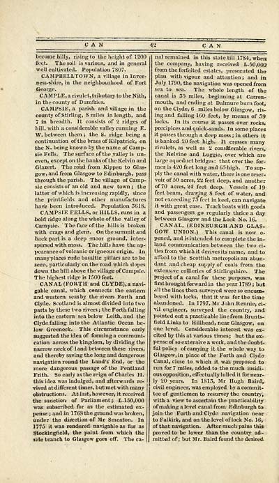
CAN
become hilly, rising to the height of 1200
feet. The soil is various, and in general
well cultivated. Population 7807.
CAMPBELLTOWN, a village in Inver-
ness-shire, in the neighbourhood of Fort
George.
CAMPLE,arivulet,tributarytotheNith,
in the county of Dumfries.
CAMPSIE, a parish and village in the
county of Stirling, 8 miles in length, and
7 in breadth. It consists of 2 ridges of
hill, with a considerable valley running E.
W. between them ; the S. ridge being a
continuation of the braes of Kilpatrick, on
the N. being known by the name of Camp-
sie Fells. The surface of the valley is un-
even, except on the banks of the Kelvin and
Glazert. The road from Kippen to Glas-
gow, and from Glasgow to Edinburgh, pass
through the parish. The village of Camp-
sie consists of an old and new town ; the
latter of which is increasing rapidly, since
the printfields and other manufactures
have been introduced. Population 3618.
CAMPSIE FELLS, or HILLS, runs in a
bold ridge along the whole of the valley of
Campsie. The face of the hills is broken
with crags and glens. On the summit and
back part is a deep moor ground, inter-
spersed with moss. The hills have the ap-
pearance of volcanic origneous origin. In
many places rude basaltic pillars are to be
seen, particularly on the road which slopes
down the hill above the village of Campsie.
The highest ridge is 1500 feet.
CANAL (FORTH and CLYDE), a navi-
gable canal, which connects the eastern
and western seas by the rivers Forth and
Clyde. Scotland is almost divided into two
parts by these two rivers ; the Forth falling
into the eastern sea below Leith, and the
Clyde falling into the Atlantic Ocean be-
low Greenock. This circumstance early
suggested the idea of forming a communi-
cation across the kingdom, by dividing the
narrow neck of land between these rivers,
and thereby saving the long and dangerous
navigation round the Land's End, or the
more dangerous passage of the Pentland
Frith. So early as the reign of Charles II.
this idea was indulged, and afterwards re-
vived at different times, but met with many
obstructions. At last, however, it received
the sanction of Parliament ; L. 150,000
was subscribed for as the estimated ex-
pense ; and in 1768 the ground was broken,
under the direction of Mr Smeaton. In
1775 it was rendered navigable as far as
Stockingfield, the point from which the
side branch to Glasgow goes off. The ca-
nal remained in this state till 1784, when
the company, having received L.50,000
from the forfeited estates, prosecuted the
plan with vigour and attention ; and in
July 1790, the navigation was opened from
sea to sea. The whole length of the
canal is 55 miles, beginning at Carron-
mouth, and ending at Dalmure burn foot,
on the Clyde, 6 miles below Glasgow, ris-
ing and falling 160- feet, by means of 39
locks. In its course it passes over rocks,
precipices and quick-sands. In some places
it passes through a deep moss ; in others it
is banked 20 feet high. It crosses many
rivulets, as well as 2 consfilerable rivers,
the Kelvine and Luggie, over which are
large aqueduct bridges: that over the for-
mer is 420 feet long and 6^high. To sup-
ply the canal with water, there is one reser-
voir of 50 acres, 22 feet deep, and another
of 70 acres, 24 feet deep. Vessels of 19
feet beam, drawing 8 feet of water, and
not exceeding 73 feet in keel, can navigate
it with great ease. Track boats with goods
and passengers go regularly thrice a day
between Glasgow and the Lock No. 16.
CANAL, (EDINBURGH AND GLAS-
GOW UNION.) This canal is now o-
pened, and is intended to complete the in-
land communication between the two ci-
ties from which it derives its name, and to
afford to the Scottish metropolis an abun-
dant and cheap supply of coals from the
extensive collieries of Stirlingshire. The
project of a canal for these purposes, was
first brought forward in the year 1789; but
all the lines then surveyed were so encum-
bered with locks, that it was for the time
abandoned. In 1 797, Mr John Rennie, ci-
vil engineer, surveyed the country, and
pointed out a practicable linefrom Brunts-
field Links to Hillhead, near Glasgow, on
one level. Considerable interest was ex-
cited by this at various times ; but the ex-
pense of so extensive a work, and the doubt-
ful policy of carrying it the whole way to
Glasgow, in place of the Forth and Clyde
Canal, close to which it was proposed to
run for 7 miles, added to the much insidi-
ous opposition, effectually lulled it for near-
ly 20 years. In 1815, Mr Hugh Baird,
civil engineer, was employed by a commit-
tee of gentlemen to resurvey the country,
with a view to ascertain the practicability
of making a level canal from Edinburgh to
join the Forth and Clyde navigation near
to Falkirk, and on the level of lock No. 16,
of that navigation. After much pains this
proved to be lower than the country ad-
mitted of; but Mr. Baird found the desired
Set display mode to: Large image | Transcription
Images and transcriptions on this page, including medium image downloads, may be used under the Creative Commons Attribution 4.0 International Licence unless otherwise stated. ![]()
| Gazetteers of Scotland, 1803-1901 > Gazetteer of Scotland > (44) Page 42 |
|---|
| Permanent URL | https://digital.nls.uk/97422222 |
|---|

