Gazetteer of Scotland
(40) Page 38 - BUR
Download files
Complete book:
Individual page:
Thumbnail gallery: Grid view | List view

BUT :
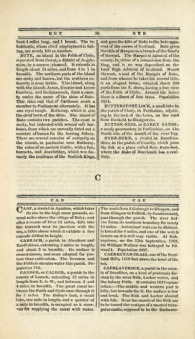
t>out 4 miles long, and 1 broad. The in-
habitants, whose chief employment is fish-
ing, are nearly 400 in number.
BUTE, an island in the Frith of Clyde,
separated from Cowal, a district of Ar gyle-
shire, by a narrow ; channel. It extends in
length about 18 miles, and from 4 to 5 in
breadth. The northern parts of the island
are rocky and barren, but the southern ex-
tremity is more fertile. This island, along
■with the islands Arran, Greater and Lesser
Cambray, and Inchmarnock, form a coun-
ty under the name of the shire of Bute.
This shire and that of Caithness sends a
•member to Parliament alternately. It has
one royal burgh. Rothesay, which is also
the chief town of the shire. The island of
Bute contains two parishes. The coast is
rocky, but indented with several safe har-
bours, from which are annually fitted out a
number of busses for the herring fishery.
There are several remains of antiquity on
the islands, in particular near Rothesay,
the ruins of an ancient Castle, with a fort,
barracks, and drawbridge, which was for-
merly the residence of the Scottish Kings,
B Y R
and gave the title of Duke to the heir-appa-
rent of the crown of Scotland. Bute give*
the title of Marquis to a branch of the family
of Stewart. The Marquis is Admiral of the
county, by t virtue of a commission from the
king, and is no way dependent on the
Lord' High Admiral of Scotland. Mount
Stewart, a seat of the Marquis of Bute,
and from whence he takes his second title,
is an elegant house, situated about 200
yards from the E. shore, having a fine view
of the Frith of Clyde. Around the house
there is a forest of fine trees. Population
5824.
BUTTERSTONE LOCH, a small lake In
the parish of Cluny, in Perthshire, adjoin-
ing to the loch of the Lows, on the road
from Dunkeld to Blairgowrie.
BUTTON-NESS, or BARRY SANDS;
a sandy promontory in Forfarshire, on the-
North side of the mouth of the river Tay.
BYRE-BURN, a rivulet in Dumfries-
shire, in the parish oi'Canoby, which joins
the Esk at a place called Byre Bum-foot,
where the Duke of Bucclcuch has a coal-
liery.
c
CAD
^P*AAF, a rivulet in Ayrshire, which takes
^"^ its rise in the high moor grounds, se-
veral miles above the village of Dairy, and
after a course of 10 or 12 miles, falls into
the Garnock near its junction with the
sea, a little above which it exhibits a fine
cascade 40 feet in height.
CABRACH, a parish in Aberdeen and
Banff shires, extending 5 miles in length,
and about 3 in breadth. Its surface is
mountainous, and more adapted for pas-
ture than cultivation. The Deveron and
the Fiddich streams water this parish. Po-
pulation 756.
CADDER, or CALDER, a parish in the
county of Lanark, extending 13 miles in
length from E. to W., and between 3 and
4 miles in breadth. The great canal be-
tween the Forth and Clyde runs through it
for 5 miles. The Bishop's loch, a small
lake, one mile in length, and a quarter of
a mile in breadth, is occupied as a reser-
voir fax supplying the canal with water.
The roads from Edinburgh to Glasgow, and
from Glasgow to Falkirk, by Cumbernauld,
pass through the parish. The river Kel-
vin forms its northern boundary for nearly
12 miles. Antoninus' wallcan be distinct-
ly traced for 4 miles, and one of the watch
towers on it is still very visible. At Rob-
roystone, on the 13th September, 1303,
Sir William Wallace was betrayed to Ed-
ward I. Population 2487.
C AERKET AN CRAIG, one of the Pent-
land Hills, 1150 feet above the level of the
sea.
CAERLAVEROCK, a parish in the coun-
ty of Dumfries, on a kind of peninsula for-
med by the river Nith, Lochar water, and
the Sol way Firth. It contains 1014 square
miles The middle and western part is
hilly, but towards the E. the surface is low
and level. The Nith and Lochar abound
with fish. Near the mouth of the Nith are
to be traced the vestiges of a moated trian-
gular castle, supposed to be the Garbunto-
Set display mode to: Large image | Transcription
Images and transcriptions on this page, including medium image downloads, may be used under the Creative Commons Attribution 4.0 International Licence unless otherwise stated. ![]()
| Gazetteers of Scotland, 1803-1901 > Gazetteer of Scotland > (40) Page 38 - BUR |
|---|
| Permanent URL | https://digital.nls.uk/97422174 |
|---|

