Gazetteer of Scotland
(417) Page 407
Download files
Complete book:
Individual page:
Thumbnail gallery: Grid view | List view

SEI
407
SEE
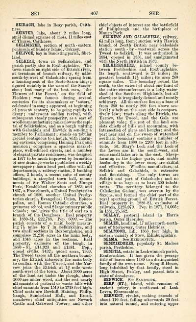
SEIRACH, lake in Reay parish, Caith-
ness.
SEISTER, lake, about 2 miles long,
amid dismal expanse of moss, 11 miles east
of Thurso, Caithness.
SELIBISTER, section of north-eastern
peninsula of Sanday Island, Orkney.
SELIVOE, bay in Sandsting parish, Shet-
land.
SELKIRK, town in Selkirkshire, and
parish partly also in Roxburghshire. The
town stands on right side of Ettrick liver,
at terminus of branch railway, 6^ miles
south-by- west of Galashiels ; sprang from
a hunting-seat of the Scoto-Saxon kings ;
figured notably in the wars of the Succes-
sion ; lost many of its best men, ' the
Flowers of the Forest,' on the field of
Flodden ; was famous during several
centuries for its shoemakers or 'sutors,'
celebrated in song ; appeared, at beginning
of present century, to be going rapidly to
decay ; underwent sudden revival, with
subsequent steady prosperity, as a seat of
woollen manufacture ; ranks now as the capi-
tal of Selkirkshire, and as a burgh uniting
with Galashiels and Hawick in sending a
member to Parliament ; stands on tabular
ground contiguous to a haugh, with charm-
ing environs, comprising Haining Park and
mansion ; comprises a spacious market-
place, well-edificed streets, and a number
of elegant private residences ; was designed
in 1877 to be much improved by formation
of new drainage works ; publishes a weekly
newspaper ; has a head post office with all
departments, a railway station, 3 banking
offices, 2 hotels, a recent suite of county
buildings, a steepled town hall, monu-
ments of Sir Walter Scott and Mungo
Park, Established churches of 1863 and
1867, a Free church, a United Presbyterian
church of 1880, another United Presby-
terian church, Evangelical Union, Episco-
palian, and Roman Catholic churches, a
grammar school, and 2 large primary public
schools ; and gives the title of earl to a
branch of the Douglases. Real property
in 1880-81, £22,788. Pop. 6090. — The
parish consists of a main body measur-
ing 1\ miles by 7 in Selkirkshire, and
two small sections in Roxburghshire, and
comprises 21,210 acres in the main body,
and 1348 acres in the sections. Real
property, exclusive of the burgh, in
1880-81, £14,923 and £1381. Pop.,
quoad civilia, 7432; quoad sacra, 7369.
The Tweed traces all the northern bound-
ary, the Ettrick intersects the main body
to conflux with the Tweed, and the Yar-
row joins the Ettrick at If mile west-
south-west of the town. About 3000 acres
of the land are under the plough, about
1000 are under wood, and the rest nearly
all consists of pastoral or waste hills with
chief summits from 1519 to 1718 feet high.
Chief seats are Bowhill, Haining, PhiHp-
haugh, Sunderland Hall, and Broad-
meadows ; chief antiquities are Newark
Castle and Oakwood Tower ; and other
chief objects of interest are the battlefield
of Philiphaugh and the birthplace of
Mungo Park.
SELKIRK AND GALASHIELS, railway,
6 \ miles long, from junction with Hawick
branch of North British near Galashiels
station south - by - westward across the
Tweed to Selkirk. It was authorized in
1854, opened in 1856, and amalgamated
with the North British in 1S59.
SELKIRKSHIRE, inland county be-
tween Peeblesshire and Roxburghshire.
Its length southward is 28 miles ; its
greatest breadth 17^ miles ; its area 260
square miles. The boundary round the
south, to the extent of about one-third of
the entire circumference, is a lofty water-
shed of the Southern Highlands, but all
elsewhere is irregularly defined and mostly
arbitrary. All the surface lies on a base of
from 280 to nearly S00 feet above sea-
level ; a belt on the east side is compara-
tively low ; tracts along the Ettrick, the
Yarrow, the Tweed, and the Gala are
pleasant vale ; the rest of the land con-
sists chiefly of hills and mountains, with
intersection of glens and heughs ; and the
part near and on the sweep of watershed
southern boundary contains a number of
summits from 1800 to 2269 feet in alti-
tude. St. Mary's Loch and the Loch of
the Lowes are in the south-west, and
some small lakes are in the east. Sheep-
farming in the higher parts, and arable
husbandry in the lower ones, are skilful
and effective. Woollen manufacture, at
Selkirk and Galashiels, is extensive
and flourishing. The only towns are
Selkirk and part of Galashiels ; and no
village is so large as to have 300 inhabi-
tants. The territory belonged to the
Caledonian Gadeni, was overrun by the
Saxons, and formed the chief part of the
royal sporting-ground of Ettrick Forest.
Real property in 1880-81, exclusive of
railways, £125,079. Pop. in 1871, 14,005 ;
in 1881, 25,562.
SELLAY, pastoral island in Harris
parish, Outer Hebrides.
SELLER, headland, 17 miles north-north-
east of Stornoway, Outer Hebrides.
SELLMOOR, hill, 1368 feet high, in
eastern vicinity of Stow, Edinburghshire.
SELMA. See Berigoniun.
SEMMIEDORES, popularly St. Madoes
parish, Perthshire.
SEMFILL, estate in Lochwinnoch parish,
Renfrewshire. It has given the peerage
title of baron since 1489 to a distinguished
family of its own name. Sempill House,
long inhabited by that family, stood in
High Street, Paisley, and passed into a
state of decadence.
SENWICK. See Sandwick.
SERF (ST.), island, with remains of
ancient priory, in south-east of Loch
Leven, Kinross-shire.
SERVENT, rivulet, making cascade of
about 110 feet, falling afterwards 20 feet
into natural tunnel, and entering upper
Set display mode to: Large image | Transcription
Images and transcriptions on this page, including medium image downloads, may be used under the Creative Commons Attribution 4.0 International Licence unless otherwise stated. ![]()
| Gazetteers of Scotland, 1803-1901 > Gazetteer of Scotland > (417) Page 407 |
|---|
| Permanent URL | https://digital.nls.uk/97360225 |
|---|

