Gazetteer of Scotland
(64) Page 54
Download files
Complete book:
Individual page:
Thumbnail gallery: Grid view | List view

BOS
54
BOV
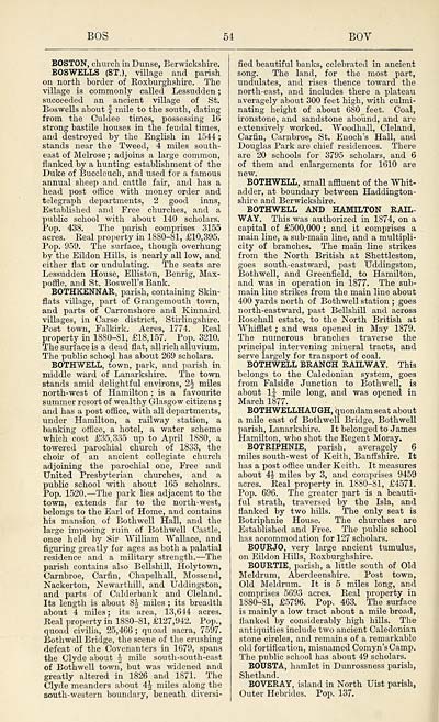
BOSTON, church in Dunse, Berwickshire.
BOSWELLS (ST.), village and parish
on north border of Roxburghshire. The
village is commonly called Lessudden ;
succeeded an ancient village of St.
Boswells about f mile to the south, dating
from the Culdee times, possessing 16
strong bastile houses in the feudal times,
and destroyed by the English in 1544 ;
stands near the Tweed, 4 miles south-
east of Melrose ; adjoins a large common,
flanked by a hunting establishment of the
Duke of Buccleuch, and used for a famous
annual sheep and cattle fair, and has a
head post office with money order and
telegraph departments, 2 good inns,
Established and Free churches, and a
public school with about 140 scholars.
Pop. 438. The parish comprises 3155
acres. Real property in 1880-81, £10,395.
Pop. 959. The surface, though overhung
by the Eildon Hills, is nearly all low, and
either flat or undulating. The seats are
Lessudden House, Elliston, Benrig, Max-
pome, and St. Boswell's Bank.
BOTHKENNAR, parish, containing Skin-
flats village, part of Grangemouth town,
and parts of Carronshore and Kinnaird
villages, in Carse district, Stirlingshire.
Post town, Falkirk. Acres, 1774. Real
property in 1880-81, £18,157. Pop. 3210.
The surface is a dead flat, all rich alluvium.
The public school has about 269 scholars.
BOTHWELL, town, park, and parish in
middle ward of Lanarkshire. The town
stands amid delightful environs, 2h miles
north-west of Hamilton ; is a favourite
summer resort of wealthy Glasgow citizens ;
and has a post office, with all departments,
under Hamilton, a railway station, a
banking office, a hotel, a water scheme
which cost £35,335 up to April 1880, a
towered parochial church of 1833, the
choir of an ancient collegiate church
adjoining the parochial one, Free and
United Presbyterian churches, and a
public school with about 165 scholars.
Pop. 1520. — The park lies adjacent to the
town, extends far to the north-west,
belongs to the Earl of Home, and contains
his mansion of Bothwell Hall, and the
large imposing ruin of Bothwell Castle,
once held by Sir William Wallace, and
figuring greatly for ages as both a palatial
residence and a military strength. — The
parish contains also Bellshill, Holytown,
Carnbroe, Carfin, Chapelhall, Mossend,
Nackerton, Newarthill, and Uddingston,
and parts of Calderbank and Cleland.
Its length is about 8J miles ; its breadth
about 4 miles; its area, 13,644 acres.
Real property in 1880-81, £127,942. Pop.,
quoad civilia, 25,466 ; quoad sacra, 7597.
Bothwell Bridge, the scene of the crushing
defeat of the Covenanters in 1079, spans
the Clyde about £ mile south-south-east
of Bothwell town, but was widened and
greatly altered in 1826 and 1871. The
Clyde meanders about 4-^ miles along the
south-western boundary, beneath diversi-
fied beautiful banks, celebrated in ancient
song. The land, for the most part,
undulates, and rises thence toward the
north-east, and includes there a plateau
averagely about 300 feet high, with culmi-
nating height of about 680 feet. Coal,
ironstone, and sandstone abound, and are
extensively worked. Woodhall, Cleland,
Carfin, Carnbroe, St. Enoch's Hall, and
Douglas Park are chief residences. There
are 20 schools for 3795 scholars, and 6
of them and enlargements for 1610 are
new.
BOTHWELL, small affluent of the Whit-
adder, at boundary between Haddington-
shire and Berwickshire.
BOTHWELL AND HAMILTON RAIL-
WAY. This was authorized in 1874, on a
capital of £500,000 ; and it comprises a
main line, a sub-main line, and a multipli-
city of branches. The main line strikes
from the North British at Shettleston,
goes south-eastward, past Uddingston,
Bothwell, and Greenfield, to Hamilton,
and was in operation in 1877. The sub-
main line strikes from the main line about
400 yards north of Bothwell station ; goes
north-eastward, past Bellshill and across
Rosehall estate, to the North British at
Whifflet ; and was opened in May 1879.
The numerous branches traverse the
principal intervening mineral tracts, and
serve largely for transport of coal.
BOTHWELL BRANCH RAILWAY. This
belongs to the Caledonian system, goes
from Falside Junction to Bothwell, is
about 1J mile long, and was opened in
March 1877.
BOTHWELLHAUGH, quondam seat about
a mile east of Bothwell Bridge, Bothwell
parish, Lanarkshire. It belonged to James
Hamilton, who shot the Regent Moray.
BOTRIPHNIE, parish, averagely 6
miles south-west of Keith, Banffshire. It
has a post office under Keith. It measures
about 4$ miles by 3, and comprises 9459
acres. Real property in 1880-81, £4571.
Pop. 696. The greater part is a beauti-
ful strath, traversed by the Isla, and
flanked by two hills. The only seat is
Botriphnie House. The churches are
Established and Free. The public school
has accommodation for 127 scholars.
BOURJO, very large ancient tumulus,
on Eildon Hills, Roxburghshire.
BOURTIE, parish, a little south of Old
Meldrum, Aberdeenshire. Post town,
Old Meldrum. It is 5 miles long, and
comprises 5693 acres. Real property in
1880-81, £5796. Pop. 463. The surface
is mainly a low tract about a mile broad,
flanked by considerably high hills. The
antiquities include two ancient Caledonian
stone circles, and remains of a remarkable
old fortification, misnamed Comyn'sCamp.
The public school has about 49 scholars.
BOUSTA, hamlet in Dunrossness parish,
Shetland.
BO VERAY, island in North Uist parish,
Outer Hebrides. Pop. 137.
Set display mode to: Large image | Transcription
Images and transcriptions on this page, including medium image downloads, may be used under the Creative Commons Attribution 4.0 International Licence unless otherwise stated. ![]()
| Gazetteers of Scotland, 1803-1901 > Gazetteer of Scotland > (64) Page 54 |
|---|
| Permanent URL | https://digital.nls.uk/97355989 |
|---|

