Download files
Complete book:
Individual page:
Thumbnail gallery: Grid view | List view

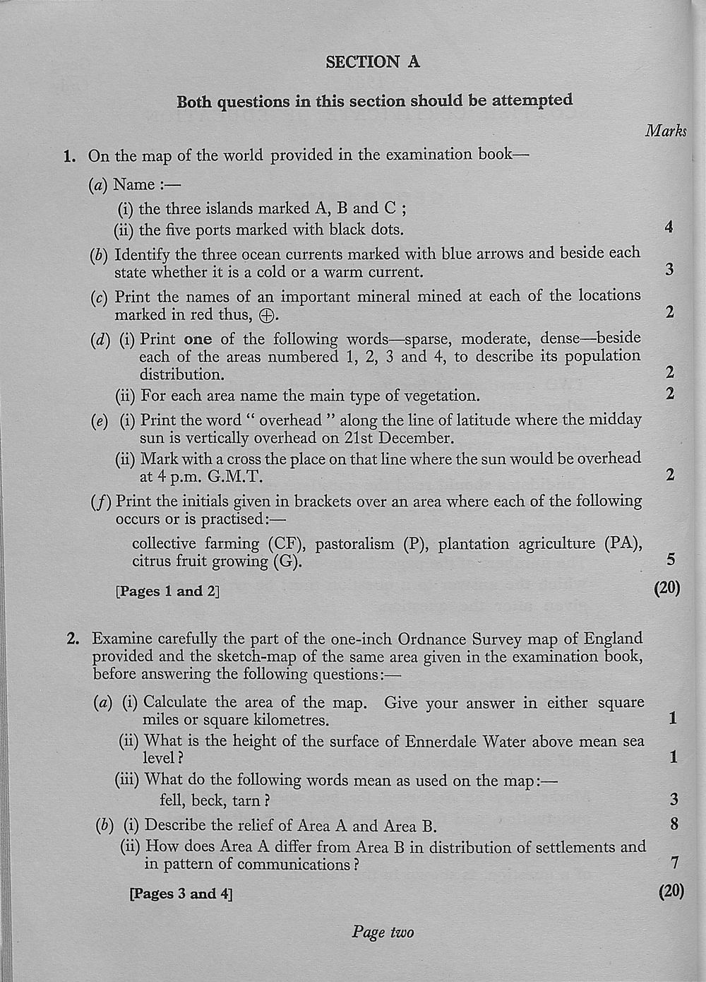
SECTION A
Both questions in this section should be attempted
Marks
1. On the map of the world provided in the examination book—
(a) Name :—
(i) the three islands marked A, B and C ;
(ii) the five ports marked with black dots. 4
(b) Identify the three ocean currents marked with blue arrows and beside each
state whether it is a cold or a warm current. 3
(c) Print the names of an important mineral mined at each of the locations
marked in red thus, @. 2
(d) (i) Print one of the following words—sparse, moderate, dense—beside
each of the areas numbered 1, 2, 3 and 4, to describe its population
distribution. 2
(ii) For each area name the main type of vegetation. 2
(e) (i) Print the word “ overhead ” along the line of latitude where the midday
sun is vertically overhead on 21st December.
(ii) Mark with a cross the place on that line where the sun would be overhead
at 4 p.m. G.M.T. 2
(/) Print the initials given in brackets over an area where each of the following
occurs or is practised:—
collective farming (CF), pastoralism (P), plantation agriculture (PA),
citrus fruit growing (G). 5
[Pages 1 and 2] (20)
2. Examine carefully the part of the one-inch Ordnance Survey map of England
provided and the sketch-map of the same area given in the examination book,
before answering the following questions:—
(a) (i) Calculate the area of the map. Give your answer in either square
miles or square kilometres. 1
(ii) What is the height of the surface of Ennerdale Water above mean sea
level ? 1
(iii) What do the following words mean as used on the map:—
fell, beck, tarn ? 3
(b) (i) Describe the relief of Area A and Area B. 8
(ii) How does Area A differ from Area B in distribution of settlements and
in pattern of communications ? 7
[Pages 3 and 4] (20)
Page two
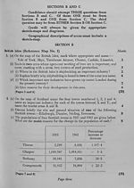
Set display mode to:
![]() Universal Viewer |
Universal Viewer | ![]() Mirador |
Large image | Transcription
Mirador |
Large image | Transcription
Images and transcriptions on this page, including medium image downloads, may be used under the Creative Commons Attribution 4.0 International Licence unless otherwise stated. ![]()
| Scottish school exams and circulars > Scottish Certificate of Education > 1963 > (46) |
|---|
| Permanent URL | https://digital.nls.uk/130799684 |
|---|
| Attribution and copyright: |
|
|---|---|
| Shelfmark | GEB.16 |
|---|---|
| Additional NLS resources: | |
| Description | Examination papers for the School Leaving Certificate 1888-1961 and the Scottish Certificate of Education 1962-1963. Produced by the Scotch (later 'Scottish') Education Department, these exam papers show how education developed in Scotland over this period, with a growing choice of subjects. Comparing them with current exam papers, there are obvious differences in the content and standards of the questions, and also in the layout and use of language |
|---|---|
| Additional NLS resources: |
|