Download files
Complete book:
Individual page:
Thumbnail gallery: Grid view | List view

MUNICIPAL WARDS
20
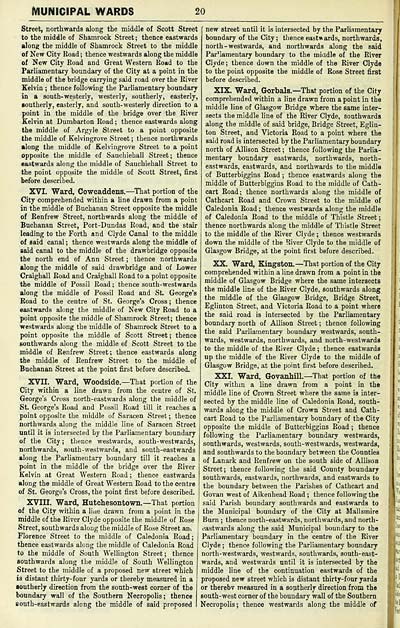
Street, northwards along the middle of Scott Street
to the middle of Shamrock Street; thence eastwards
along the middle of Shamrock Street to the middle
of New City Road ; thence westwards along the middle
of New City Road and Great Western Road to the
Parliamentary boundary of the City at a point in the
middle of the bridge carrying said road over the River
Kelvin ; thence following the Parliamentary boundary
in a south-westerly, westerly, southerly, easterly,
southerly, easterly, and south-westerly direction to a
point in the middle of the bridge over the River
Kelvin at Dumbarton Road ; thence eastwards along
the middle of Argyle Street to a point opposite
the middle of Kelvingrove Street ; thence northwards
along the middle of Kelvingrove Street to a point
opposite the middle of Sauchiehall Street; thence
eastwards along the middle of Sauchiehall Street to
the point opposite the middle of Scott Street, first
before described.
XVI. Ward, Cowcaddens. — That portion of the
City comprehended within a line drawn from a point
in the middle of Buchanan Street opposite the middle
of Renfrew Street, northwards along the middle of
Buchanan Street, Port-Dundas Road, and the stair
leading to the Forth and Clyde Canal to the middle
of said canal ; thence westwards along the middle of
said canal to the middle of the drawbridge opposite
the north end of Ann Street ; thence northwards
along the middle of said drawbridge and of Lower
Craigball Road and Craighall Road to a point opposite
the middle of Possil Road ; thence south-westwards
along the middle of Possil Road and St. George's
Road to the centre of St. George's Cross; thence
eastwards along the middle of New City Road to a
point opposite the middle of Shamrock Street; thence
westwards along the middle of Shamrock Street to a
point opposite the middle of Scott Street ; thence
southwards along the middle of Scott Street to the
middle of Renfrew Street; thence eastwards along
the middle of Renfrew Street to the middle of
Buchanan Street at the point first before described.
XVII. Ward, Woodside.— That portion of the
City within a line drawn from the centre of St.
George's Cross north-eastwards along the middle of
St. George's Road and Possil Road till it reaches a
point opposite the middle of Sai-acen Street ; thence
northwards along the middle line of Saracen Street
until it is intersected by the Parliamentary boundary
of the City ; thence westwards, south-westwards,
northwards, south-westwards, and south-eastwards
along the Parliamentary boundary till it reaches a
point in the middle of the bridge over the River
Kelvin at Great Western Road ; thence eastwards
along the middle of Great Western Road to the centre
of St. George's Cross, the point first before described.
XVIII. Ward, Hutchesontown. — That portion
of the City within a line drawn from a point in the
middle of the River Clyde opposite the middle of Rose
Street, southwards along the middle of Rose Street ani
Florence Street to the middle of Caledonia Road ;
thence eastwards along the middle of Caledonia Road
to the middle of South Wellington Street; thence
southwards along the middle of South Wellington
Street to the middle of a proposed new street which
is distant thirty-four yards or thereby measured in a
Boutherly direction from the south-west corner of the
boundary wall of the Southern Necropolis; thence
south-eastwards along the middle of said proposed
new street until it is intersected by the Parliamentary
boundary of the City; thence eastwards, northwards,
north-westwards, and northwards along the said
ParHamentary boundary to the miadle of the River
Clyde ; thence down the middle of the River Clyde
to the point opposite the middle of Rose Street first
before described.
XIX. Ward, Gorbals.— That portion of the City
comprehended within a line drawn from a point in the
middle line of Glasgow Bridge where the same inter-
sects the middle line of the River Clyde, southwards
along the middle of said bridge. Bridge Street, Eglin-
ton Street, and Victoria Road to a point where the
said road is intersected by the Pai-liamentary boundary
north of Allison Street ; thence following the Parlia-
mentary boundary eastwards, northwards, north-
eastwards, eastwards, and northwards to the middle
of Butterbiggins Road ; thence eastwards along the
middle of Butterbiggins Road to the middle of Cath-
cart Road; thence northwards along the middle of
Cathcart Road and Crown Street to the middle of
Caledonia Road ; thence westwards along the middle
of Caledonia Road to the middle of Thistle Street;
thence northwards along the middle of Thistle Street
to the middle of the River Clyde ; thence westwards
down the middle of the River Clyde to the middle of
Glasgow Bridge, at the point first before described.
XX. Ward, Kingston. — That portion of the City
comprehended within a line drawn from a point in the
middle of Glasgow Bridge where the same intersects
the middle line of the River Clyde, southwards along
the middle of the Glasgow Bridge, Bridge Street,
Eglinton Street, and Victoria Road to a point where
the said road is intersected by the Parliamentary
boundary north of Allison Street ; thence following
the said Parliamentary boundary westwards, south-
wards, westwards, northwards, and north-westwards
to the middle of the River Clyde ; thence eastwards
up the middle of the River Clyde to the middle of
Glasgow Bridge, at the point first before described.
XXI. Ward, Govanhill.— That portion of the
City within a line drawn from a point in the
middle line of Crown Street where the same is inter-
sected by the middle line of Caledonia Road, south-
wards along the middle of Crown Street and Cath-
cart Road to the Parliamentary boundary of the City
opposite the middle of Butterbiggins Road ; thence
following the Parliamentary boundary westwards,
southwards, westwards, south-westwards, westwards,
and southwards to the boundary between the Counties
of Lanark and Renfrew on the south side of Allison
Street; thence following the said County boundary
southwards, eastwards, northwards, and eastwards to
the boundary between the Parishes of Cathcart and
Govan west of Aikenhead Road ; thence following the
said Parish boundary southwards and eastwards to
the Municipal boundary of the City at Mallsmire
Burn ; thence north-eastwards, northwards, and north-
eastwards along the said Municipal boundary to the
Parliamentary boundary in the centre of the River
Clyde ; thence following the Parliamentary boundary
north-westwards, westwards, southwards, south-east-
wards, and westwards until it is intersected by the
middle line of the continuation eastwards of the
proposed new street which is distant thirty-four yards
or therebv measured in a southerly direction from the
south-west corner of the boundary wall of the Southern
Necropolis; thence westwards along the middle of
I"
Set display mode to: Large image | Transcription
Images and transcriptions on this page, including medium image downloads, may be used under the Creative Commons Attribution 4.0 International Licence unless otherwise stated. ![]()
| Scottish Post Office Directories > Towns > Glasgow > Post-Office annual Glasgow directory > 1909-1910 > (22) |
|---|
| Permanent URL | https://digital.nls.uk/86464263 |
|---|
| Description | Directories of individual Scottish towns and their suburbs. |
|---|
| Description | Around 700 Scottish directories published annually by the Post Office or private publishers between 1773 and 1911. Most of Scotland covered, with a focus on Edinburgh, Glasgow, Dundee and Aberdeen. Most volumes include a general directory (A-Z by surname), street directory (A-Z by street) and trade directory (A-Z by trade). |
|---|


