Volume 5
(58) Page 52
Download files
Individual page:
Thumbnail gallery: Grid view | List view

52
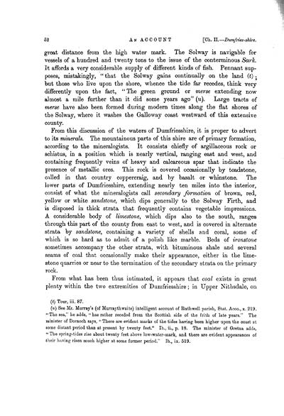
great distance from the high water mark. The Solway is navigable for
vessels of a hundred and twenty tons to the issue of the conterminous Sark.
It affords a very considerable supply of different kinds of fish. Pennant sup-
poses, mistakingly, " that the Solway gains continually on the land (t);
but those who live upon the shore, whence the tide far recedes, think very
differently upon the fact, " The green ground or merse extending now
almost a mile further than it did some years ago" (u). Large tracts of
merse have also been formed during modern times along the flat shores of
the Solway, where it washes the Galloway coast westward of this extensive
county.
From this discussion of the waters of Dumfriesshire, it is proper to advert
to its minerals. The mountainous parts of this shire are of primary formation,
according to the mineralogists. It consists chiefly of argillaceous rock or
schistus, in a position which is nearly vertical, ranging east and west, and
containing frequently veins of heavy and calcareous spar that indicate the
presence of metallic ores. This rock is covered occasionally by toadstone,
called in that country coppercraig, and by basalt or whinstone. The
lower parts of Dumfriesshire, extending nearly ten miles into the interior,
consist of what the mineralogists call secondary formation of brown, red,
yellow or white sandstone, which dips generally to the Solway Firth, and
is disposed in thick strata that frequently contains vegetable impressions.
A considerable body of limestone, which dips also to the south, ranges
through this part of the county from east to west, and is covered in alternate
strata by sandstone, containing a variety of shells and coral, some of
which is so hard as to admit of a polish like marble. Beds of ironstone
sometimes accompany the other strata, with bituminous shale and several
seams of coal that occasionally make their appearance, either in the lime-
stone quarries or near to the termination of the secondary strata on the primary
rock.
From what has been thus intimated, it appears that coal exists in great
plenty within the two extremities of Dumfriesshire; in Upper Nithsdale, on
(t) Tour, iii. 87.
(u) See Mr. Murray's (of Murraythwaite) intelligent account of Ruth well parish, Stat. Acco., x. 219.
"The sea," he adds, "has rather receded from the Scottish side of the frith of late years." The
minister of Dornoch says, " There are evident marks of the tides having been higher upon the coast at
some distant period than at present by twenty feet." Ib., ii., p. 18. The minister of Gretna adds,
" The spring-tides rise about twenty feet above low-water-mark, and there are evident appearances of
their having risen much higher at some former period." Ib., ix. 519.
Set display mode to:
![]() Universal Viewer |
Universal Viewer | ![]() Mirador |
Large image | Transcription
Mirador |
Large image | Transcription
Images and transcriptions on this page, including medium image downloads, may be used under the Creative Commons Attribution 4.0 International Licence unless otherwise stated. ![]()
| Caledonia, or, An account, historical and topographic of North Britain from the most ancient to the present times > Volume 5 > (58) Page 52 |
|---|
| Permanent URL | https://digital.nls.uk/74530240 |
|---|---|
| Description | Vol. V. |
|---|---|
| Attribution and copyright: |
|

