Download files
Complete book:
Individual page:
Thumbnail gallery: Grid view | List view

’376
FROM SALTASH TO KIRKHAMPTON.
Route 4.
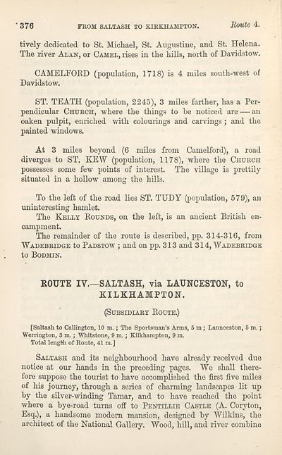
lively dedicated to St. Michael, St. Augustine, and St. Helena.
The river Alan, or Camel, rises in the hills, north of Davidstow.
CAMELFOED (population, 1718) is 4 miles south-west of
Davidstow.
ST. TEATH (population, 2245), 3 miles farther, has a Per¬
pendicular Church, where the things to he noticed are — an
oaken pulpit, enriched with colourings and carvings; and the
painted windows.
At 3 miles beyond (6 miles from Camelford), a road
diverges to ST. KEW (population, 1178), where the Church
possesses some few points of interest. The village is prettily
situated in a hollow among the hills.
To the left of the road Ees ST. TUDY (population, 579), an
uninteresting hamlet.
The Kelly Rounds, on the left, is an ancient British en¬
campment.
The remainder of the route is described, pp. 314-316, from
Wadebridge to Padstow ; and on pp. 313 and 314, Wadebridge
to Bodmin.
ROUTE IV.—SALTASH, via LAUNCESTON, to
KILKHAMPTON.
(Subsidiary Route.)
[Saltash to Callington, 10 m.; The Sportsman’s Arms, 5 m; Launceston, 5 m.;
Werrington, 8 m.; Whitstone, 9 m.; Kilkhampton, 9 m.
Total length of Route, 41 m.J
Saltash and its neighbourhood have already received due
notice at our hands in the preceding pages. We shall there¬
fore suppose the tourist to have accomplished the first five miles
of his journey, through a series of charming landscapes lit up
by the silver-winding Tamar, and to have reached the point
where a bye-road turns off to Pentillie Castle (A. Coryton,
Esq.), a handsome modem mansion, designed by Wilkins, the
architect of the National Gallery. Wood, hill, and river combine.
Set display mode to:
![]() Universal Viewer |
Universal Viewer | ![]() Mirador |
Large image | Transcription
Mirador |
Large image | Transcription
| Antiquarian books of Scotland > Adventure and adventurers > Black's guide to the counties of Dorset, Devon, & Cornwall > (421) |
|---|
| Permanent URL | https://digital.nls.uk/142591431 |
|---|
| Description | Thousands of printed books from the Antiquarian Books of Scotland collection which dates from 1641 to the 1980s. The collection consists of 14,800 books which were published in Scotland or have a Scottish connection, e.g. through the author, printer or owner. Subjects covered include sport, education, diseases, adventure, occupations, Jacobites, politics and religion. Among the 29 languages represented are English, Gaelic, Italian, French, Russian and Swedish. |
|---|

