Download files
Complete book:
Individual page:
Thumbnail gallery: Grid view | List view

DESCRIPTION OP SCOTLAND.
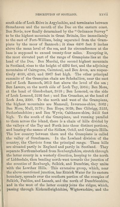
south side of Loch Etive in Argyleshire, and terminates between
Stonehaven and the mouth of the Dee on the eastern coast.
Ben Nevis, now finally determined by the “ Ordnance Survey”
to be the highest mountain in Great Britain, lies immediately
to the east of Fort-William, being separated from the Gram¬
pians by the moor of Rannoch ; it rises 4406 feet 3 inches
above the mean level of the sea, and its circumference at the
base is supposed to exceed twenty-four miles. Excepting it,
the most elevated part of the range of Grampians lies at the
head of the Dee. Ben Macdui, the second highest mountain
in Scotland, rises to the height of 4292 feet, and the adjoining
mountains of Cairngorm, Cairntoul, and Ben Avon, are respec¬
tively 4050, 4245, and 3967 feet high. The other principal
summits of the Grampian chain are Sehehallion, near the east
end of Loch Rannoch, 3613 feet above the level of the sea ;
Ben Lawers, on the north side of Loch Tay, 3984; Ben More,
at the head of Glendochart, 3818 ; Ben Lomond, on the side
of Loch Lomond, 3192 feet ; and Ben Cruachan, at the head of
Loch Awe, 3390. To the north and west of the Grampians,
the highest mountains are Mamsuil, Inverness-shire, 3862 ;
Ben More, Mull, 3178 ; Ben Hope, 3039, Ben Clibrigg, 3155,
Sutherland shire ; and Ben Wyvis, Caithness-shire, 3415 feet
high. To the south of the Grampians, and running parallel
to them across the island, there is a chain of hills divided by
the valleys of the Tay and Forth into three distinct portions,
and bearing the names of the Sidlaw, Ochil, and Campsie Hills.
The low country between them and the Grampians is called
the valley of Strathmore. In the Lowland division of the
country, the Cheviots form the principal range. These hills
are situated partly in England and partly in Scotland. They
separate Northumberland from Roxburghshire, stretch through
the latter county in a westerly direction, keeping to the north
of Liddesdale, then bending north-west towards the junction of
the counties of Roxburgh, Selkirk, and Dumfries, they unite
with the Lowther Hills. This extensive group, which, near
the above-mentioned junction, has Ettrick Water for its eastern
boundary, spreads over the southern portion of the counties of
Selkirk, Peebles, and Lanark, and the north of Dumfriesshire,
and in the west of the latter county joins the ridges, which,
passing through Kirkcudbrightshire, Wigtownshire, and the
Set display mode to:
![]() Universal Viewer |
Universal Viewer | ![]() Mirador |
Large image | Transcription
Mirador |
Large image | Transcription
| Antiquarian books of Scotland > Scotland/Scots > Black's picturesque tourist of Scotland > (33) |
|---|
| Permanent URL | https://digital.nls.uk/130028586 |
|---|
| Description | Thousands of printed books from the Antiquarian Books of Scotland collection which dates from 1641 to the 1980s. The collection consists of 14,800 books which were published in Scotland or have a Scottish connection, e.g. through the author, printer or owner. Subjects covered include sport, education, diseases, adventure, occupations, Jacobites, politics and religion. Among the 29 languages represented are English, Gaelic, Italian, French, Russian and Swedish. |
|---|

