

Download files
Complete book:
Individual page:
Thumbnail gallery: Grid view | List view
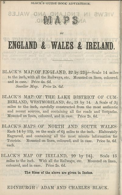
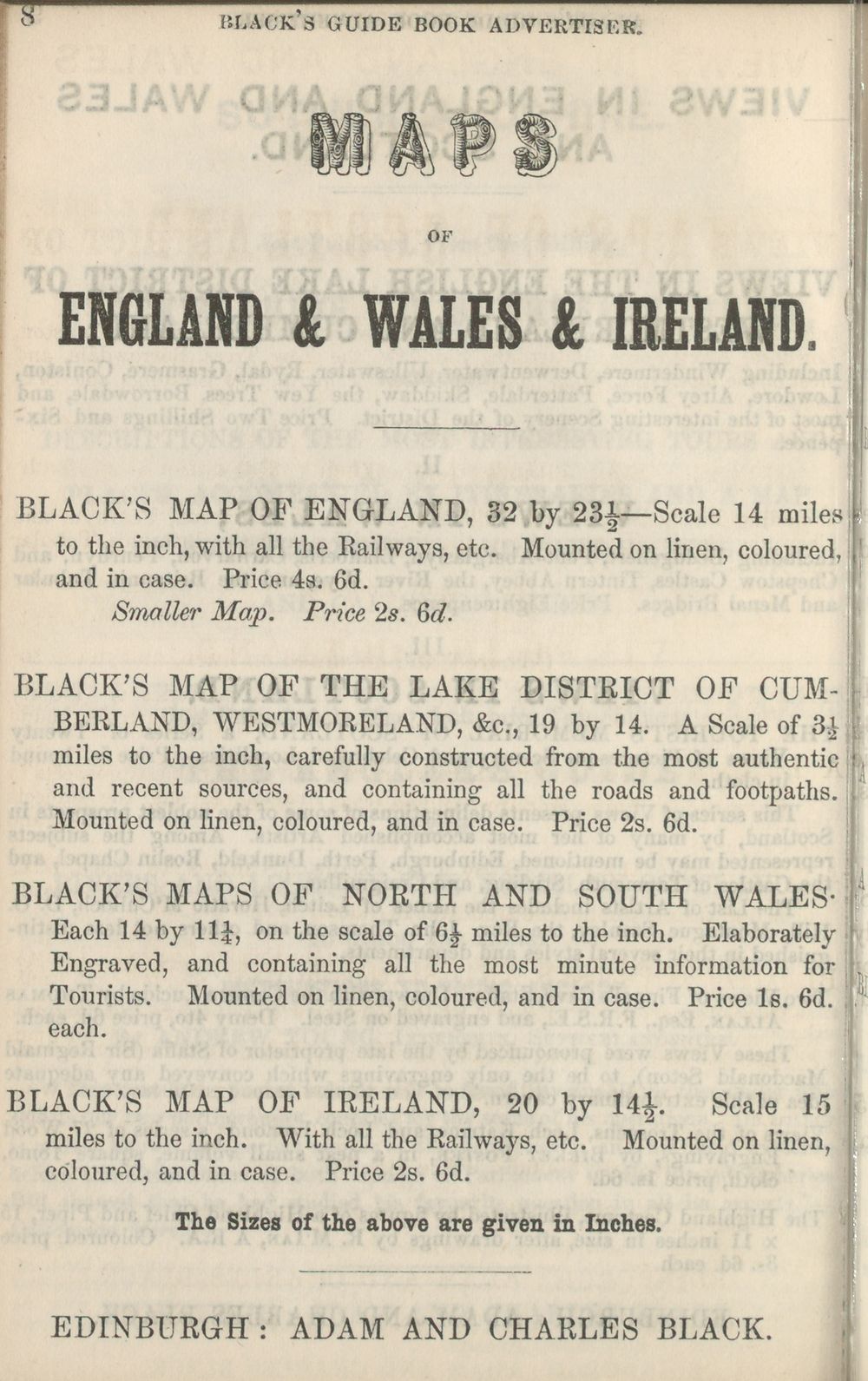
OF
ENGLAND & WALES & IRELAND.
' BLACK’S MAP OF ENGLAND, 32 by 23J—Scale 14 miles;'
to the inch, with all the Railways, etc. Mounted on linen, coloured, '
and in case. Price 4s. 6d.
Smaller Map. Price 2s. &d.
BLACK’S MAP OF THE LAKE DISTRICT OF CUM¬
BERLAND, WESTMORELAND, &c., 19 by 14. A Scale of 3* '
miles to the inch, carefully constructed from the most authentic .
and recent sources, and containing all the roads and footpaths.
Mounted on linen, coloured, and in case. Price 2s. 6d.
BLACK’S MAPS OF NORTH AND SOUTH WALES-
Each 14 by 11J, on the scale of 6£ miles to the inch. Elaborately
Engraved, and containing all the most minute information for
Tourists. Mounted on linen, coloured, and in case. Price Is. 6d. !
each.
BLACK’S MAP OF IRELAND, 20 by 14£. Scale 15 '.
miles to the inch. With all the Railways, etc. Mounted on linen,
coloured, and in case. Price 2s. 6d.
The Sizes of the above are given in Inches.
EDINBURGH : ADAM AND CHARLES BLACK.
Set display mode to:
![]() Universal Viewer |
Universal Viewer | ![]() Mirador |
Large image | Transcription
Mirador |
Large image | Transcription
| Antiquarian books of Scotland > Ireland/Irish > Black's guide to Killarney and the south of Ireland > (120) |
|---|
| Permanent URL | https://digital.nls.uk/118862108 |
|---|
| Description | Includes 2 maps. |
|---|---|
| Shelfmark | ABS.1.78.236 |
| Additional NLS resources: | |
| Attribution and copyright: |
|
| Description | Thousands of printed books from the Antiquarian Books of Scotland collection which dates from 1641 to the 1980s. The collection consists of 14,800 books which were published in Scotland or have a Scottish connection, e.g. through the author, printer or owner. Subjects covered include sport, education, diseases, adventure, occupations, Jacobites, politics and religion. Among the 29 languages represented are English, Gaelic, Italian, French, Russian and Swedish. |
|---|