Glossary
- Cartographer
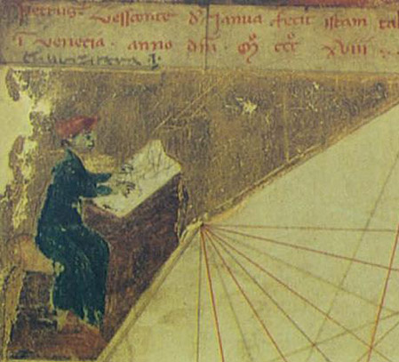
A person who creates maps.
- Cartography
The art and science of expressing graphically as maps the natural and social features of the earth and their relationships to one another.
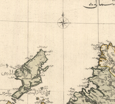
- Cartouche
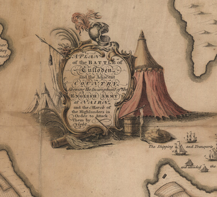
An ornamental frame on a map, usually around the title.
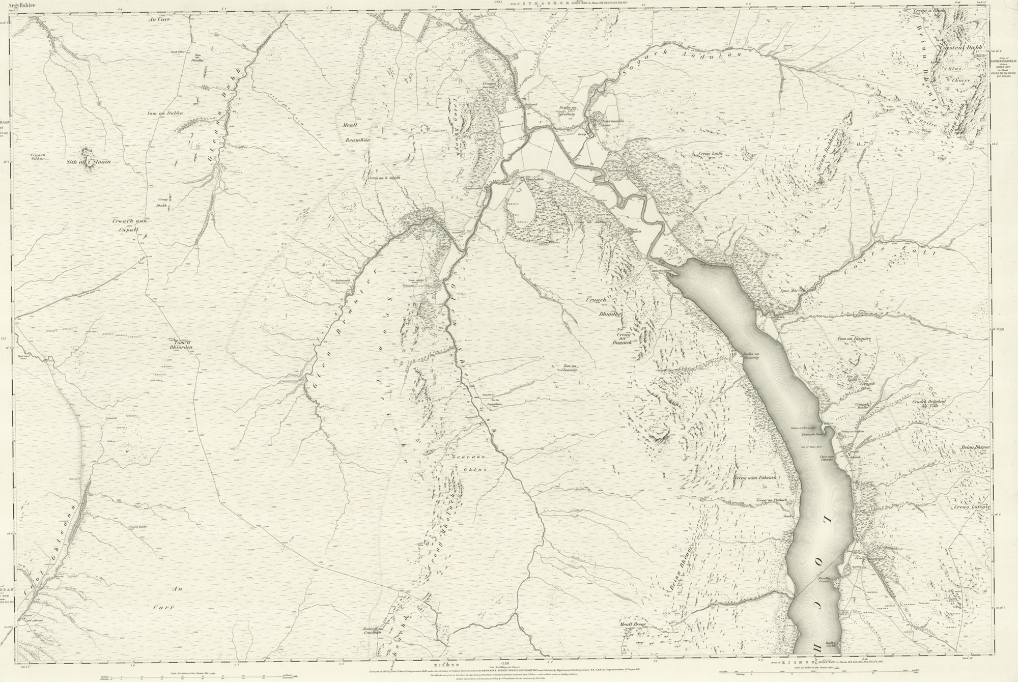
- Contour
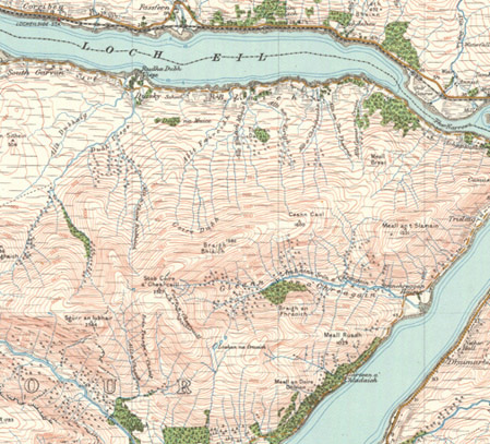
A line on a map that connects points of equal height above or below a set vertical datum, often sea level.
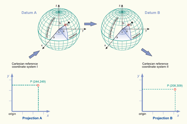
- Datum
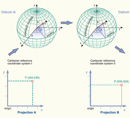
The base for calculating positions on the earth’s surface, such as coordinates, or heights above or below the earth's surface.
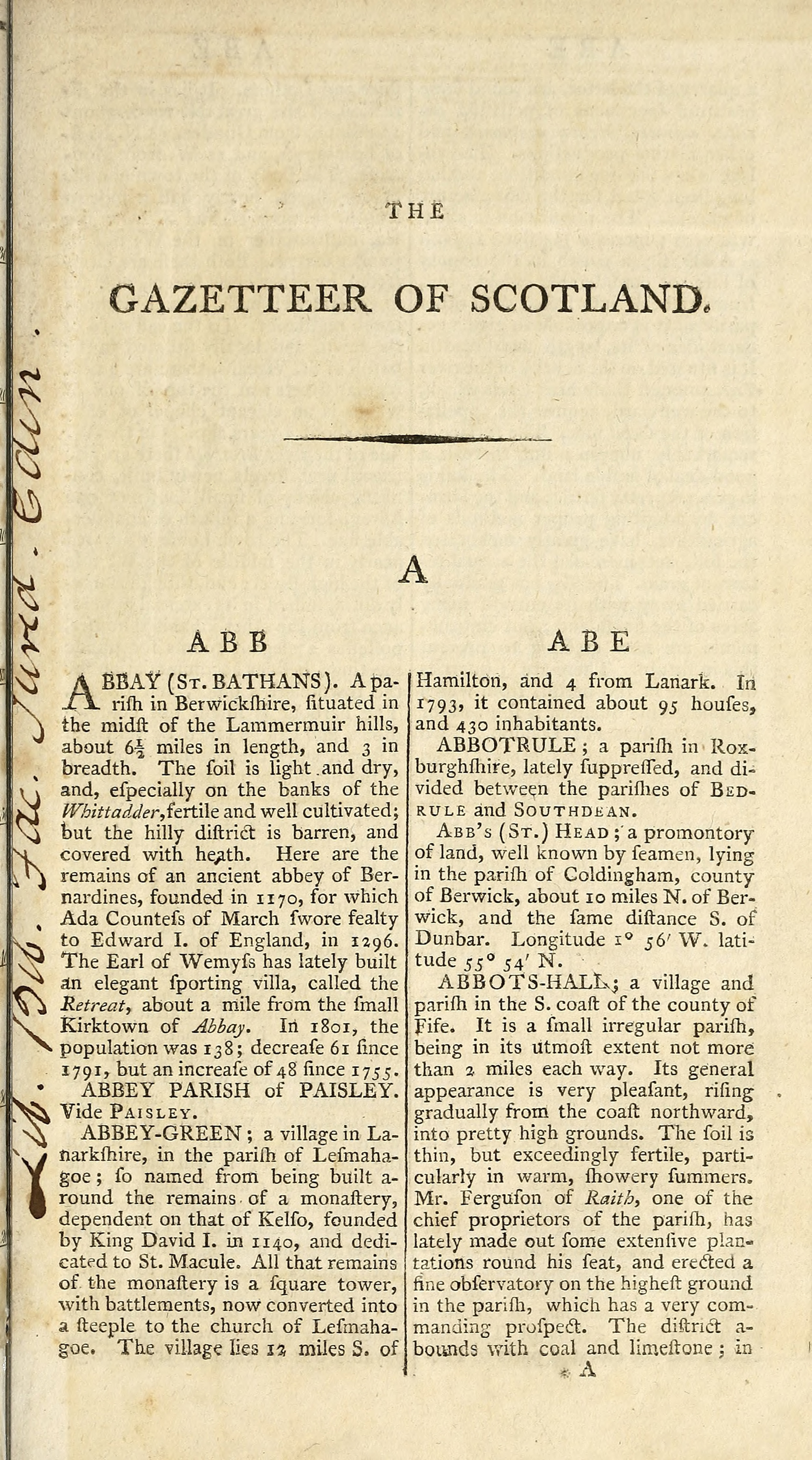
- Gazetteer
A list, usually in alphabetical order, of place names, often giving extra information about that place.
- Generalisation
The simplification of features for reduction of scale.
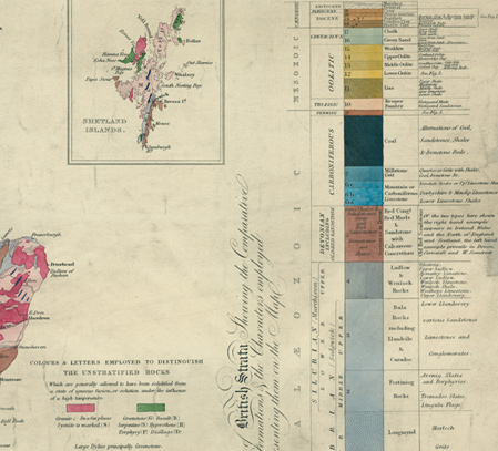
- Gradient tints
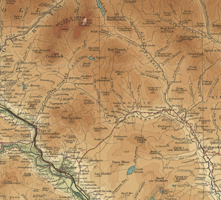
Relief depicted by a gradation of colours, between contour lines. Also known as hypsometric tints, or layer contour colouring.
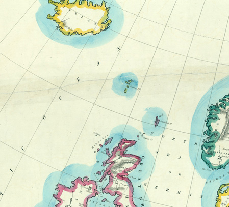
- Graticule
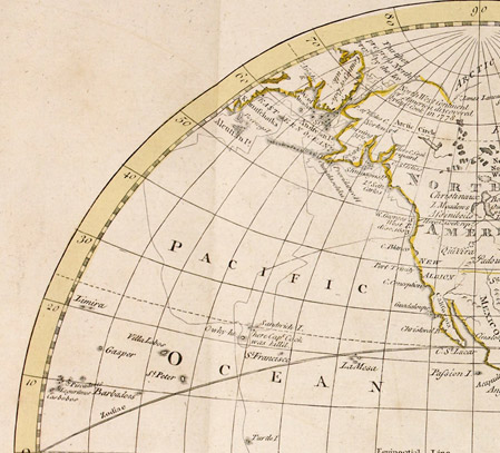
A network of longitude and latitude lines on a map that relates points on the map to their true locations on the earth.
- Grid
Any network of parallel and perpendicular lines superimposed on a map and used for reference. A 'grid reference' therefor locates a point on the map.
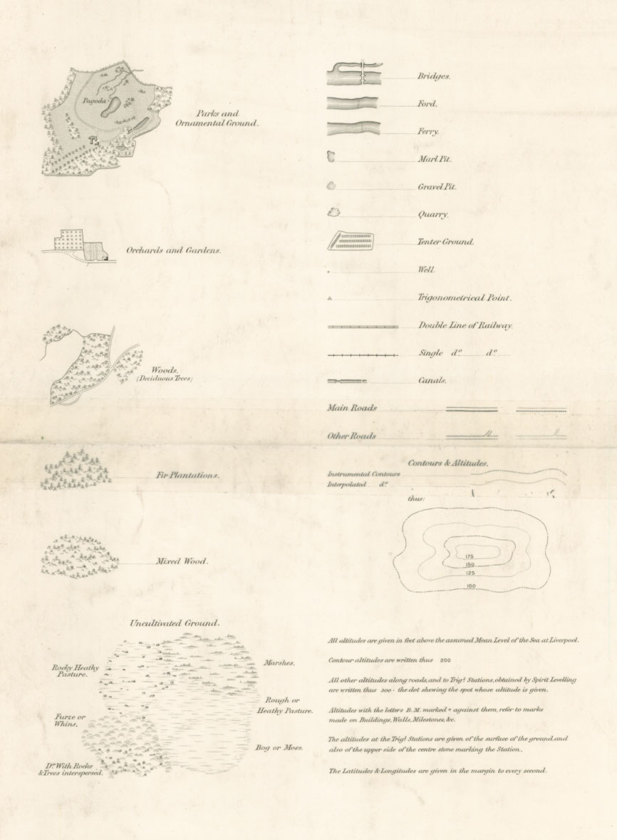
- Hachures
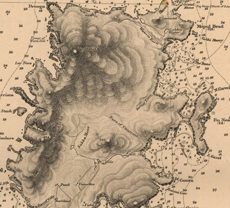
A short line on a map that indicates the direction of slope. On steep slopes the lines are close together.
- Hillshading
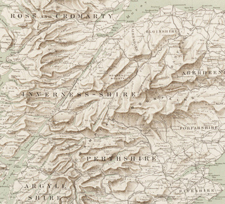
Shadows drawn on the map to create a three-dimensional effect to show relief.
- Latitude
The angular distance in degrees north or south from the equator. Lines of latitude are often referred to as parallels.
- Legend
Written explanations of the symbols, showing the range of features included on the map.
- Longitude
The angular distance in degrees east or west from a defined meridian, usually the Greenwich prime meridian.
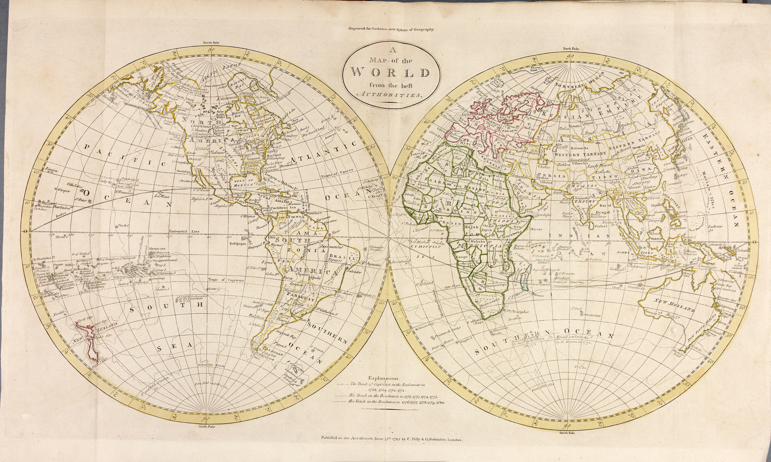
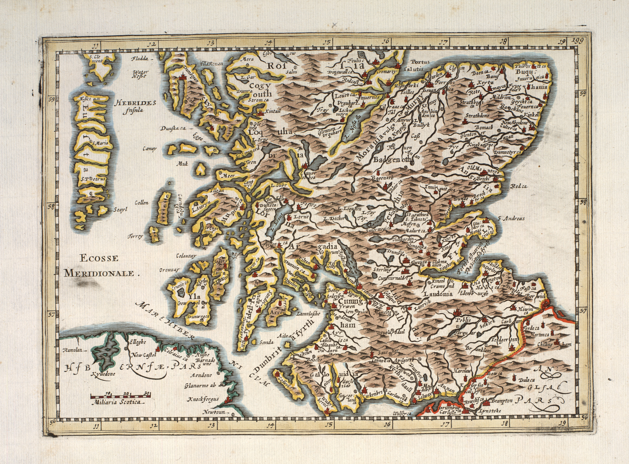
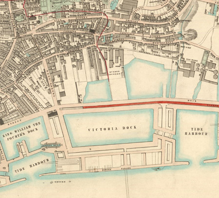
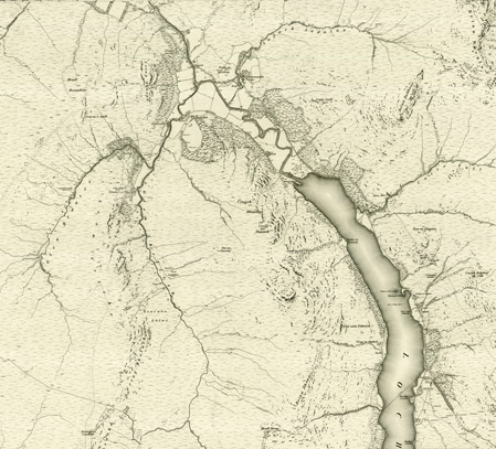
- Map
A graphic representation of the spatial relationships of features and points within an area.
- Meridian
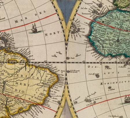
A great circle of the earth that passes north-south through the poles.
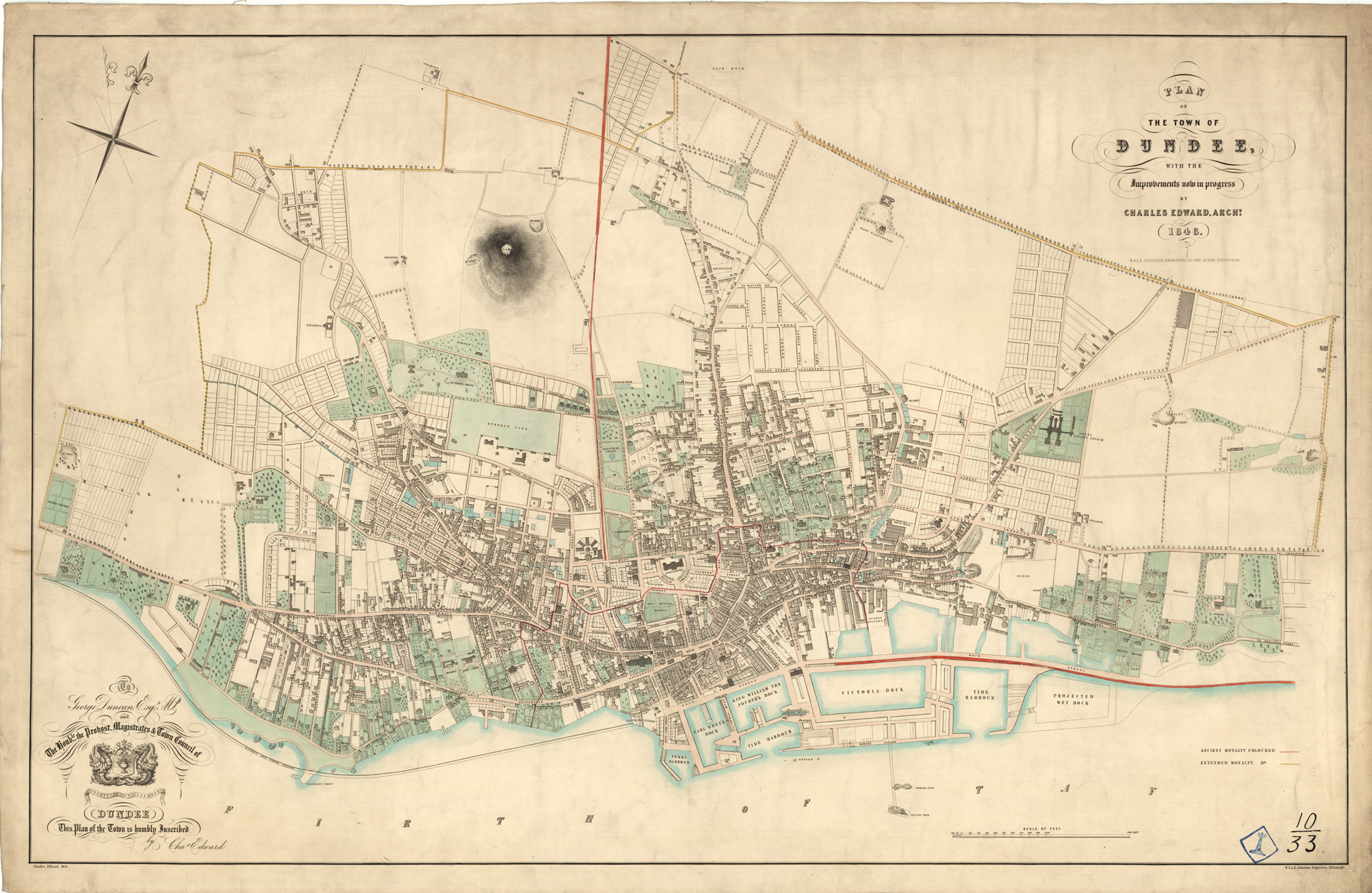
- Plan
A map that shows a small area, derived from a planimetric survey, showing no relief, or of an area small enough to not include the curvature of the Earth e.g. a town plan. Plans at scale larger than 1:100 are considered architectural drawings.
- Projection
A method by which the curved surface of the earth is portrayed on a flat surface using a systematic, mathematical transformation.
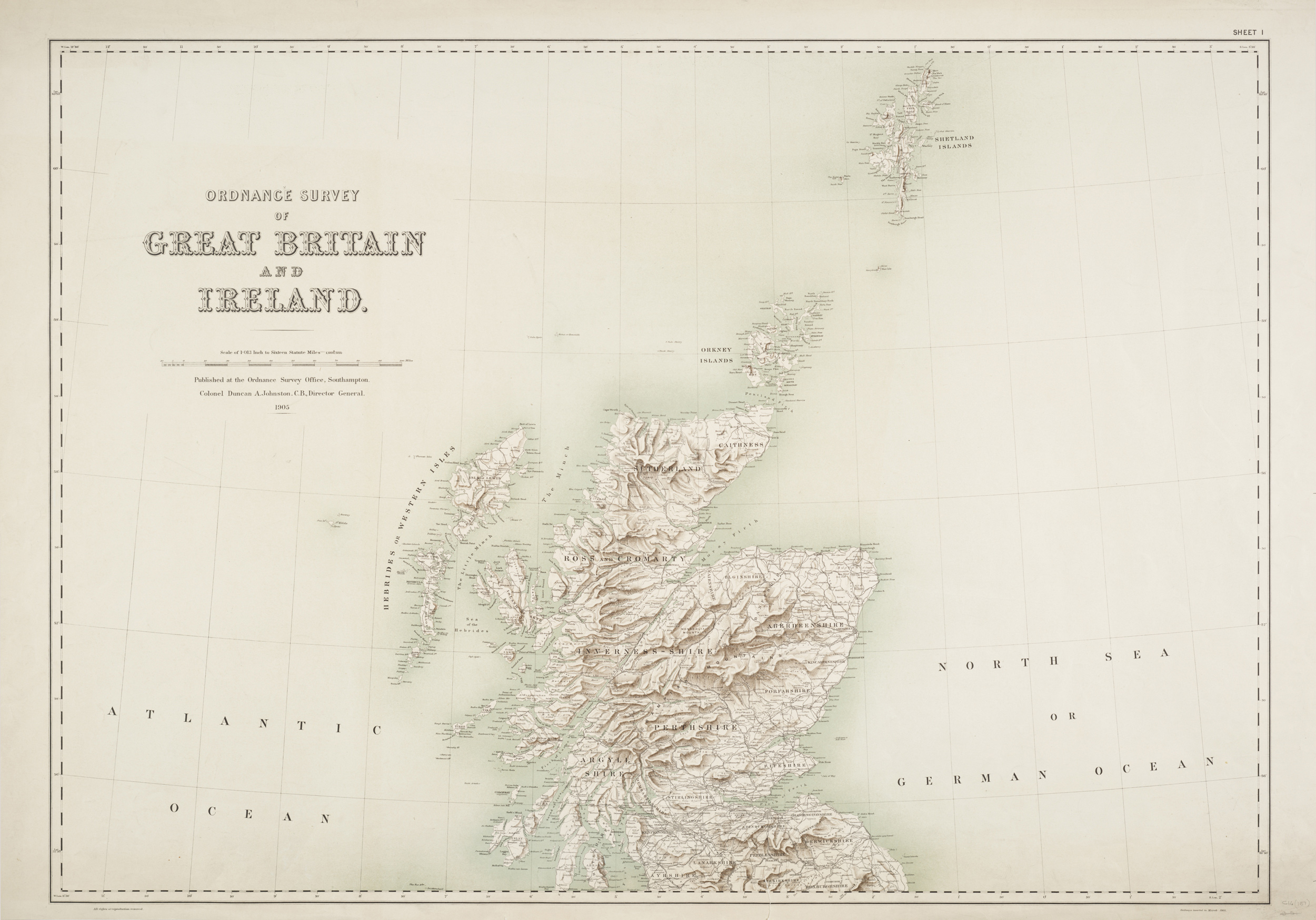
- Relief
Elevations and depressions on the earth’s surface, including the sea floor.
- Scale
The relationship between a distance or area on a map and the corresponding distance or area on the ground, expressed as a ratio or fraction.
- Surveying
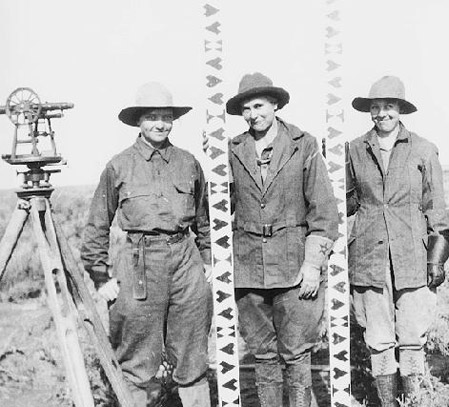
Measuring physical or geometric characteristics of the earth.
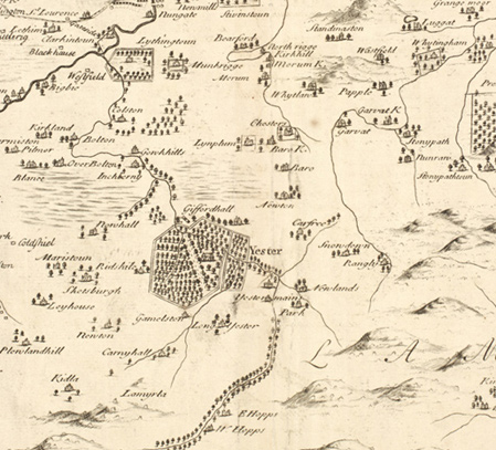
- Symbol
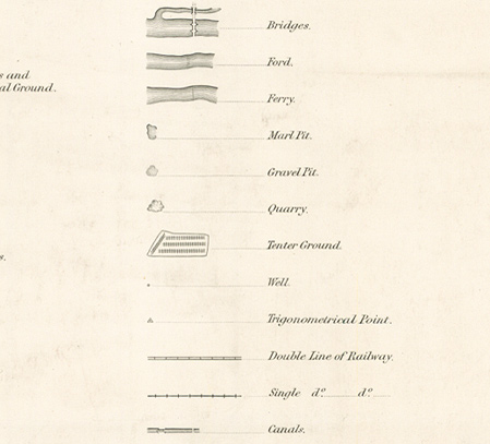
A graphic used to represent a geographic feature or set of features.
- Topography
The study and mapping of land surfaces, including relative position and height.