Imperial gazeteer of Scotland, or, Dictionary of Scottish topography > Volume 1
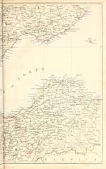
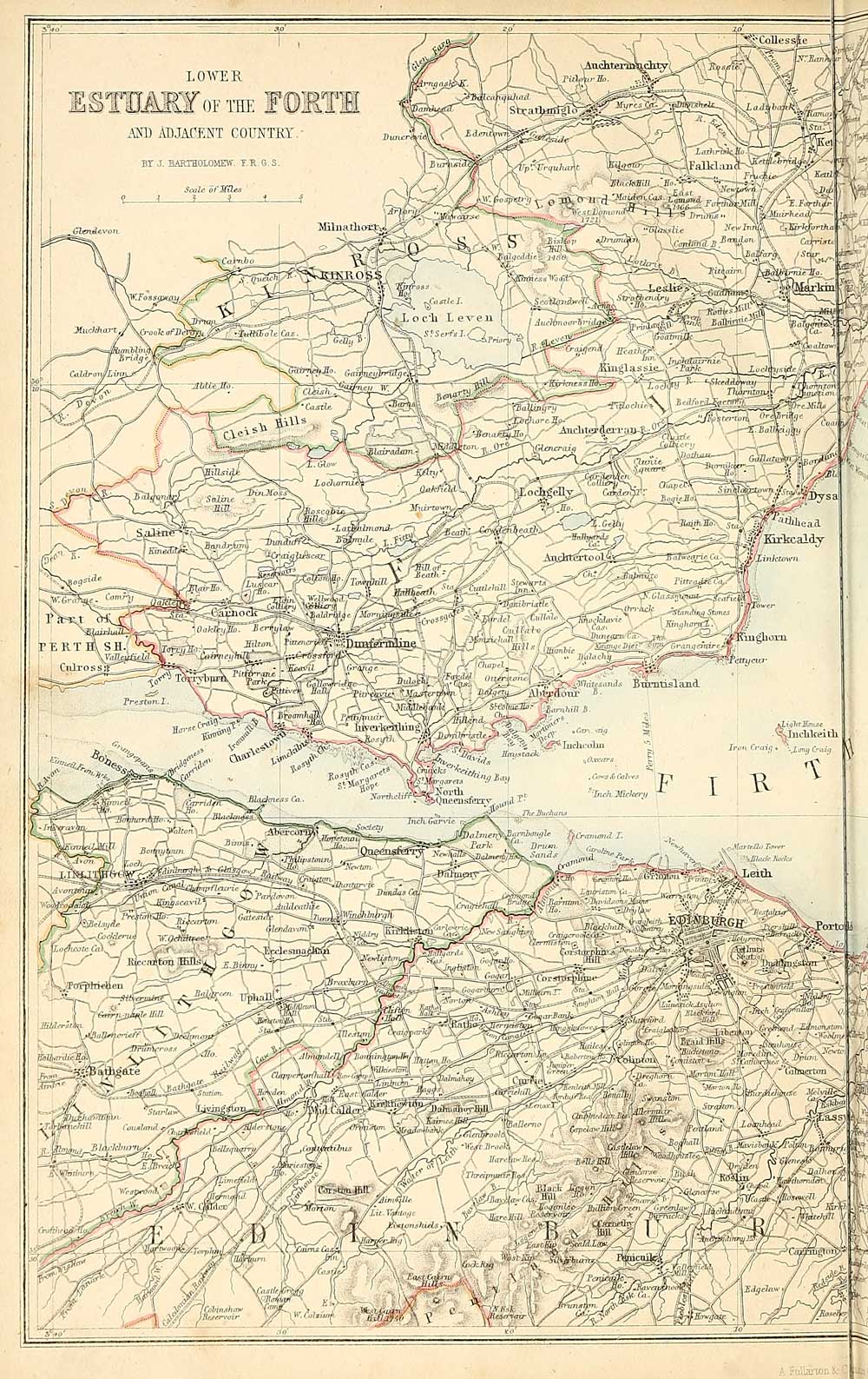
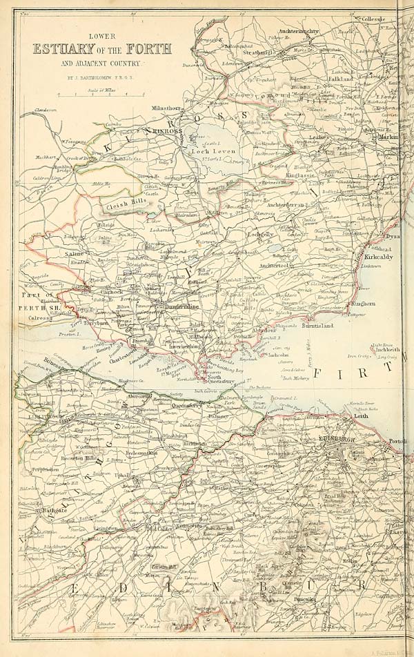
(8) Left half of map - Lower estuary of the Forth and adjacent country

Thumbnail gallery: Grid view | List view
Set display mode to: Large image | Transcription
Images and transcriptions on this page, including medium image downloads, may be used under the Creative Commons Attribution 4.0 International Licence unless otherwise stated. ![]()
| Gazetteers of Scotland, 1803-1901 > Imperial gazeteer of Scotland, or, Dictionary of Scottish topography > Volume 1 > (8) Left half of map - Lower estuary of the Forth and adjacent country |
|---|
| Permanent URL | https://digital.nls.uk/97459226 |
|---|---|
| Description | Volume I: Aan-Gordon. |
|---|---|
| Attribution and copyright: |
|
| Description | Compiled from the most recent authorities, and forming a complete body of Scottish geography, physical, statistical, and historical. Edited by the Rev. John Marius Wilson. Illustrated with a complete county atlas, various chorographical maps, plans of ports, harbours, and interesting views. London: A. Fullarton & Co., [n.d.]. 2 volumes. Title page verso in Volume 1: Edinburgh: Fullarton and MacNab, Printers, Leith Walk. |
|---|---|
| Shelfmark | Gazetteers,(strong room) |
| Additional NLS resources: | |
| Description | 20 volumes of the most popular descriptive gazetteers of Scotland, providing a comprehensive geographical encyclopaedia of Scotland in the 19th century. Principal places in Scotland, including towns, counties, castles, glens, antiquities and parishes, are listed alphabetically. Each entry includes detailed historical and geographical information about each place. |
|---|---|