Gazetteer of Scotland
(80) Page 78 - DOL
Download files
Complete book:
Individual page:
Thumbnail gallery: Grid view | List view

POL 78
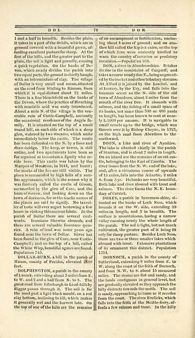
1 and a half in breadth. Besides the plain,
it takes in a part of the Ochils, which are in
general covered with a beautiful green, af-
fording excellent pasturefor sheep. At the
foot of the hills, and the greater part to the
plain, the soil is light and gravelly, causing
a quick vegetation. On the banks of De-
von, wluch nearly divides the parish into
two equal parts, the ground is chiefly haugh,
■with an intermixture of clay. The village
of Dollar is very small and mean, situated
on the road from Stirling to Kinross, from
■which it is equi-distant about 12 miles.
There is a finebleachfield on the banks of
the Devon, where the practice of Bleaching
■with muriatic acid was early introduced.
About a mile N. of the village is the ven-
erable ruin of Castle-Campbell, anciently
the occasional residence of the Argyle fa-
mily. It is situated on the top of a small
round hill, on each side of which is a deep
glen, watered by two streams, which unite
immediately below the castle. The castle
has been defended on the N. by a fosse and
draw -bridge. The keep, or tower, is still
entire, and two apartments have been so
far repaired as to contain a family who re-
side here. This castle was taken by the
Marquis of Montrose, in 1641, and burnt;
the marks of the fire are still visible. The
place is surrounded by high hills of a som-
bre appearance, which is the reason why it
was formerly called the castle of Gloom,
surrounded by the glen of Care, and the
burn of Sorrow, and looking down on the
town of darkness, for so the Gaelic names of
the places are said to signify. No travel-
ler of taste will ever regret bestowing a few
hours in visiting this ancient fabric. In the
parish of Dollar there are several coal-
works. Ironstone likewise abounds, and
there are several valuable freestone quar-
ries. A vein of lead was some years ago
found near the town of Dollar. Silver has
been found in the glen of Care, near Castle-
Campbell ; and on the top of a hill, called
the White Wisp, beautiful agates are found.
Population 743.
DOLLAR-BURN, a hill in the parish of
Manor, county of Peebles, elevated 2840
feet.
DOLPHINGTON, a parish in the county
of Lanark, extending about 5 miles from E.
to W. and 2 and a half from N. to S. The
great road from Edinburgh to Lead-hillsby
Biggar passes through it. The soil is for
the most part a light black mould, on a red
clay bottom, inclining to till, which makes
it generally wet and the harvest late. On
the top of one of the hills are the remains
• of an encampment or fortification, enclos-
ing about 4 acres of ground ; and on ano-
ther hill called the Kip is a cairn, on the top
of which fires were anciently kindled to
warn the country of invasion or predatory
incursion. — Population 26S.
DON, a river in Aberdeenshire. It takes
its rise in the mountains of Curgarff, and
takes acourse nearlydue E.,beingaugment-
ed by thebuckct and other tributary streams.
At AU'ordit is joined by the Laschel, and
atlnerary, by the Ury, and falls into the
German ocean on the N. side of the old
town of Aberdeen, about 2 miles from the
mouth of the river Dee. It abounds with
salmon, and the fishing of a small space of
its banks, not more than 500 or 400 yards
in length, has been known to rent at near-
ly L.2000 per annum. It is navigable to
small vessels up to the bridge, which was
thrown over it by Bishop Cheyne, in 1323,
on the high road from Aberdeen to the
northward.
DOON, a lake and river of Ayrshire.
The lake is situated chiefly in the parish
of Straiton, and is about 7 miles in length.
On an island are the remains of an old cas-
tle, belonging to the Earl of Cassilis. The
river issues from the N. W. end of the lake,
and, after a circuitous course of upwards
of IS miles, falls into the Atlantic, 2 miles
S. from Ayr. Its banks are very beautiful.
Both lake and river abound with trout and
salmon. The river forms the N. E. boun-
dary of Carrick.
DORES, a parish in Inverness- shire, si-
tuated on the banks of Loch Ness, which
bounds it on the W. side, extending 20
miles in length, and 3 in breadth. The
surface is mountainous, having a narrow
valley running nearly the whole length of
the parish. The soil is light, but not much
cultivated, the greater part of it being fit
only for sheep pasture. Besides Loch Ness,
there are two or three smaller lakes which
abound with trout. Extensive plantations
of fir ornament this district. Population
1314.
DORNOCH, a parish in the county of
Sutherland, extending 9 miles from E. to
W. along the coast of the frith of Dornoch,
and from N. W. to S. about 15 measured
miles. The shores are flat and sandy, and
the lands contiguous in general level, but
are gradually elevated as they approach the
hilly districts towards the north. The soil
is sandy, approaching to loam as it recedes
from the coast. The river E velicks, which
falls into the frith at the Meikle-ferry, af-
fords a few salmon and trout. In the hilly
Set display mode to: Large image | Transcription
Images and transcriptions on this page, including medium image downloads, may be used under the Creative Commons Attribution 4.0 International Licence unless otherwise stated. ![]()
| Gazetteers of Scotland, 1803-1901 > Gazetteer of Scotland > (80) Page 78 - DOL |
|---|
| Permanent URL | https://digital.nls.uk/97422654 |
|---|

