Gazetteer of Scotland
(59) Page 57
Download files
Complete book:
Individual page:
Thumbnail gallery: Grid view | List view

CO Y
C R A
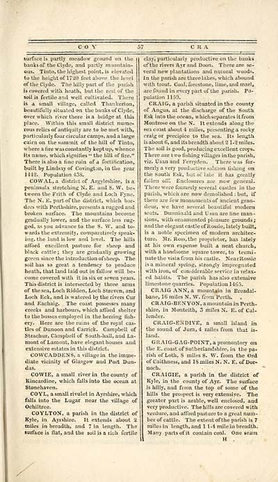
surface is partly meadow ground on the i
banks of the Clyde, and partly mountain-
ous. Tinto, the highest point, is elevated
to the height of 1720 feet above the level
of the Clyde. The hilly part of the parish ;
is covered with heath, but the rest of the j
soil is fertile and well cultivated. There
is a small village, called Thankerton,
beautifully situated on the banks of Clyde,
over which river there is a bridge at this
place. Within this small district nume-
rous relics of antiquity are to be met with,
particularly four circular camps, and a large
cairn on the summit of the hill of Tinto,
where a fire was constantly kept up, whence
its name, which signifies " the hill of fire."
There is also a fine ruin of a fortification,
built by Lindsay of Covington, in the year
U12. Population 43S.
COWAL, a district of Argyleshire, is a
peninsula stretching N. E. and S. W. be~
tween the Frith of Clyde and Loch Fyne.
The N. E. partof the district, which bor-
ders with Perthshire, presents a rugged and
broken surface. The mountains become
gradually lower, and the surface less rug-
ged, as you advance to the S. W. and to-
wards the extremity, comparatively speak- '
ing. the land is low and level. The hills
afford excellent pasture for sheep and
black cattle ; they are gradually growing
green since the introduction of sheep. The
soil has so great a tendency to produce
heath, that land laid out in fallow will be-
come covered with it in six or seven years.
This district is intersected by three arms
of the sea, Loch Ridden, Loch Streven, and
Loch Eck, and is watered by the rivers Cur
and Eachaig. The coast possesses many
creeks and harbours, which afford shelter
to the busses employed in the herring fish-
ery. Here are the ruins of the royal cas-
tles of Dunoon and Carrick. Campbell of
Strachur, Campbell of South-hall, and La-
mont of Lamont, have elegant houses and
extensive estates in this district.
COWCADDENS, a village in the imme-
diate -vicinity of Glasgow and Port Dun-
das.
COWIE, a small river in the county of
Kincardine, which falls into the ocean at
Stonehaven.
COYL, a small rivulet in Ayrshire, which
falls into the Lugar near the village of
Ochiltree.
COYLTON, a parish in the district of
Kyle, in Ayrshire. It extends about 2
miles in breadth, and 7 in length. The
surface is flat, and the soil is a rich fertile
clay, particularly productive on the banks
of the rivers Ayr and Doon. There are se-
veral new plantations and natural woods.
In the parish are three lakes, which abound
with trout. Coal, freestone, lime, and marl,
are found in every part of the parish. Po-
pulation 1159.
CRAIG, a parish situated in the county
of Angus, at the discharge of the South.
Esk into the ocean, which separates it from
Montrose on the N. It extends along the
sea coast about 4 miles, presenting a rocky
craig or precipice to the sea. Its length
is about 6, and its breadth about 21-2 miles.
The soil is good, producing excellent crops.
There are two fishing villages in the parish,
viz. Usan and Ferryden. There was for-
merly a very productive salmon lishmg on
the South Esk, but of late it has greatly
fallen off. Enclosures are now general.
There were formerly several castles in the
parish, which are now demolished : but, if
there are few monuments of ancient gran-
deur, we have several beautiful modern
seats. Dunninald and Usan are fine man-
sions, with ornamented pleasure grounds;
and the elegant castle of Rossie, lately built,
is a noble specimen of modern architec-
ture. Mr. Ross, the proprietor, has lately
at his own expense built a neat church,
with a handsome square tower, to termi-
nate the vista from his castle. NearRossie
is a mineral spring, strongly impregnated
with iron, of considerable service in relax-
ed habits. The parish has also extensive
limestone quarries. Population 1465.
CRAIG ANN, a mountain in Ereadal-
bane, 16 miles N. W. from Perth. ,
CRAIG-BEN YON, a mountain in Perth-
shire, in Monteith, 3 miles N. E. of Cal-
lender.
CRAIG-ENDIVE, a small island in
the sound of Jura, 4 miles from that is-
land.
GRAIG-GAG-POINT, a promontory on
the E. coast of Sutherlandshire, in the pa-
rish of Loth, S miles S. W. from the Ord
of Caithness, and 18 miles N. N. E. of Dor-
noch.
CRAIGIE, a parish in the district of
Kyle, in the county of Ayr. The surface
is hilly, and from the top of some of the
hills the prospect is very extensive. The
greater part is arable, well enclosed, and
very productive. The hills are covered with
verdure, and afford pasture to a great num-
ber of cattle. The extent of the parish is 7
miles in length, and 11-4 mile in breadth.
Many parts of it contain coal. One seam
Set display mode to: Large image | Transcription
Images and transcriptions on this page, including medium image downloads, may be used under the Creative Commons Attribution 4.0 International Licence unless otherwise stated. ![]()
| Gazetteers of Scotland, 1803-1901 > Gazetteer of Scotland > (59) Page 57 |
|---|
| Permanent URL | https://digital.nls.uk/97422402 |
|---|

