Listings of corporations, foreign residents and government agencies of all nationalities in Asia, 1917 to 1941
Browse and search 20 volumes of the most popular descriptive gazetteers of 19th-century Scotland, covering towns, counties, parishes, glens and more
Further your family, local history or school project using this collection of thousands of zoomable maps of Scotland and beyond
An interactive guide to reading historical maps and using them to learn more about your area. Downloadable PDFs for teachers
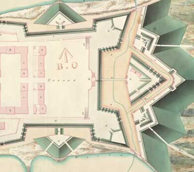
Maps and plans made for government troops by the Board of Ordnance during the Jacobite period in the 18th century
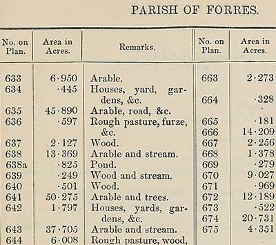
Volumes recording acreages of fields and land-use information for Scotland's parishes from 1855 to 1882
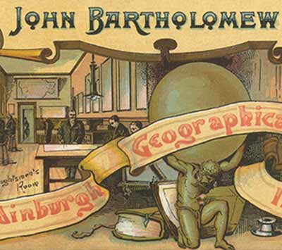
Read about the remarkable record of mapmaking and printing by the world-famous Bartholomew firm in Edinburgh from 1820 to 2002
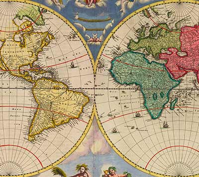
The first Atlas of Scotland, printed in 1654, containing 49 engraved maps, and 154 pages of descriptive text translated from Latin
Photos, audio recordings, floor plans and more help tell the story of the famous Bartholomew mapmakers of Edinburgh
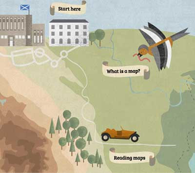
10 things you need to know about maps, how they are made and how we use them. Includes interactive quizzes and downloadable PDFs for teachers