Download files
Complete book:
Individual page:
Thumbnail gallery: Grid view | List view
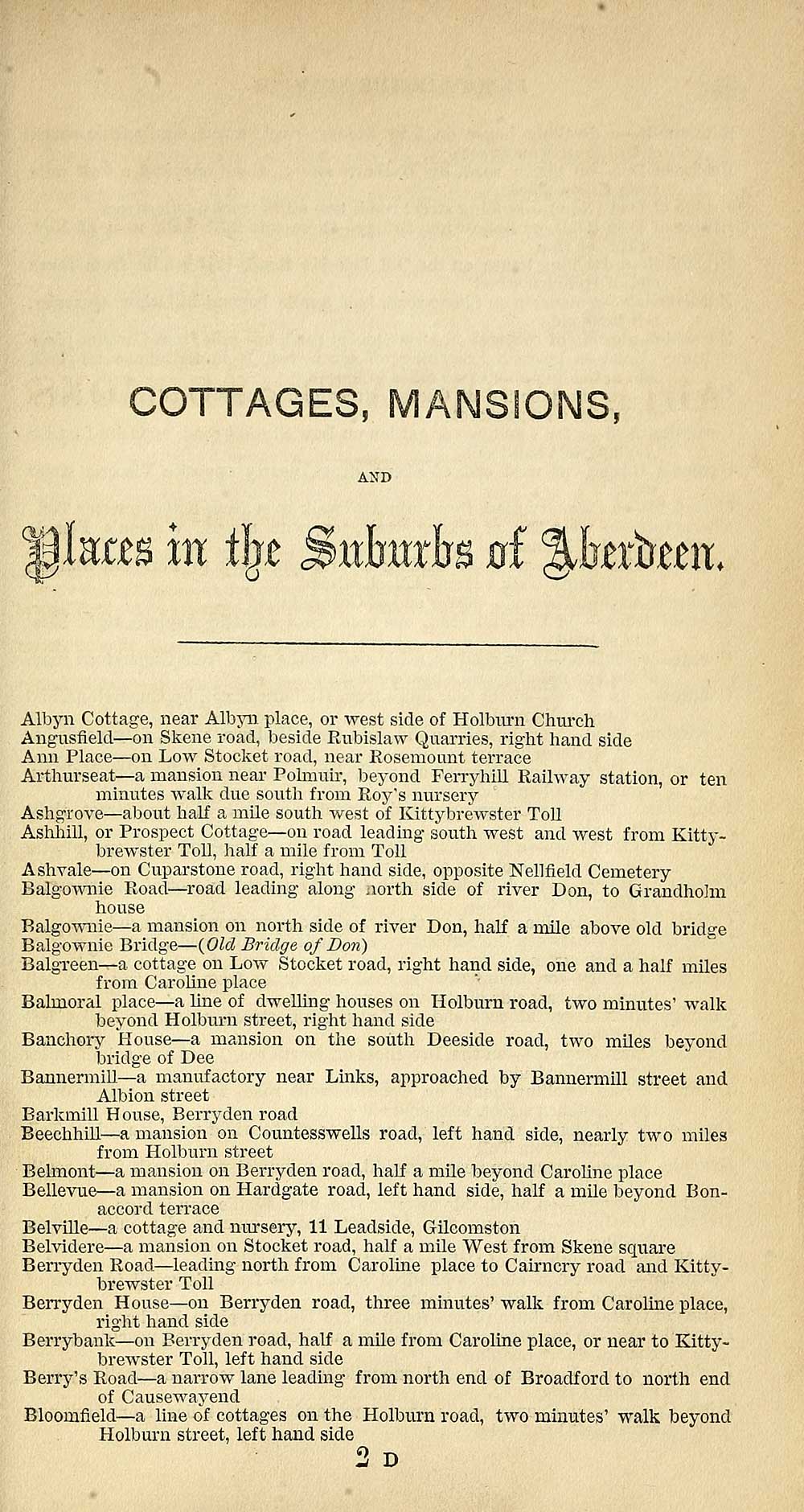
COTTAGES, MANSIONS,
AND
Mum hx % Sutedb at %htxtamx.
Albyn Cottage, near Albyn place, or west side of Holburn Church
Angusfield — on Skene road, beside Rubislaw Quarries, right hand side
Ann Place — on Low Stocket road, near Rosemount terrace
Arthurseat — a mansion near Pohnuir, beyond Ferryhill Railway station, or ten
minutes walk due south from Roy's nursery
Ashgrove — about half a mile south west of Kittybrewster Toll
Ashhill, or Prospect Cottage— on road leading south west and west from Kitty-
brewster Toll, half a mile from Toll
Ashvale— on Cuparstone road, right hand side, opposite Nellfield Cemetery
Balgownie Road— road leading along north side of river Don, to Grandhohn
house
Balgownie — a mansion on north side of river Don, half a mile above old brids-e
Balgownie Bridge — (Old Bridge of Bon)
Balgreen — a cottage on Low Stocket road, right hand side, one and a half miles
from Caroline place
Balmoral place — a line of dwelling houses on Holburn road, two minutes' walk
beyond Holburn street, right hand side
Banchory House — a mansion on the south Deeside road, two miles beyond
bridge of Dee
Bannermill— a manufactory near Links, approached by Bannermill street and
Albion street
Barkmill House, Berryden road
Beechhill — a mansion on Countesswells road, left hand side, nearly two miles
from Holburn street
Belmont — a mansion on Berryden road, half a mile beyond Caroline place
Bellevue — a mansion on Hardgate road, left hand side, half a mile beyond Bon-
accord terrace
Belville — a cottage and nursery, 11 Leadside, Gilcomston
Belvidere — a mansion on Stocket road, half a mile West from Skene square
Berryden Road — leading north from Caroline place to Cairncry road and Kitty-
brewster Toll
Berryden House— on Berryden road, three minutes' walk from Caroline place,
right hand side
Berrybank — on Berryden road, half a mile from Caroline place, or near to Kitty-
brewster Toll, left hand side
Berry's Road — a narrow lane leading from north end of Broadford to north end
of Causewayend
Bloomfield — a line of cottages on the Holburn road, two minutes' walk beyond
Holburn street, left hand side
9 T»
Set display mode to: Large image | Transcription
Images and transcriptions on this page, including medium image downloads, may be used under the Creative Commons Attribution 4.0 International Licence unless otherwise stated. ![]()
| Scottish Post Office Directories > Towns > Aberdeen > Post Office Aberdeen directory > 1860-1861 > (323) |
|---|
| Permanent URL | https://digital.nls.uk/86879006 |
|---|
| Description | Post Office Aberdeen Directory 1860-1861. |
|---|---|
| Attribution and copyright: |
|
| Description | Annual. 1944/45 not published. |
|---|---|
| Shelfmark | Various |
| Description | Directories of individual Scottish towns and their suburbs. |
|---|
| Description | Around 700 Scottish directories published annually by the Post Office or private publishers between 1773 and 1911. Most of Scotland covered, with a focus on Edinburgh, Glasgow, Dundee and Aberdeen. Most volumes include a general directory (A-Z by surname), street directory (A-Z by street) and trade directory (A-Z by trade). |
|---|